- Moringhem
-
Moringhem

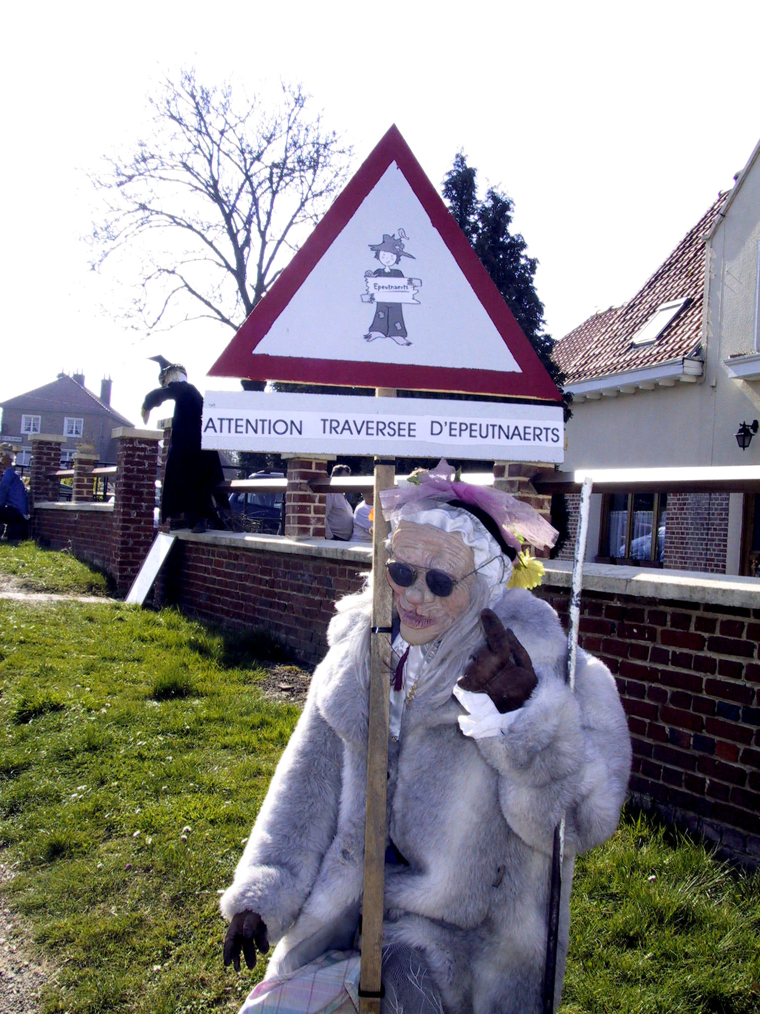
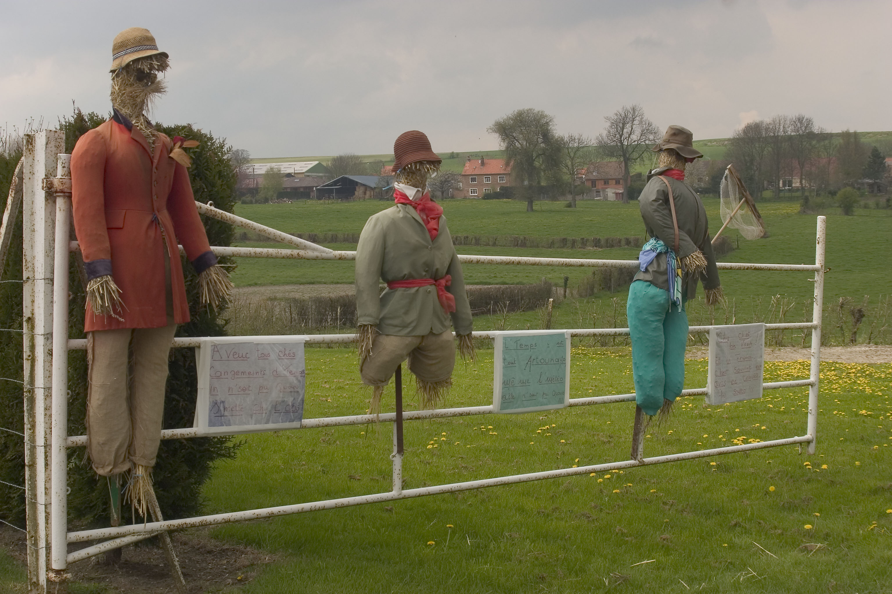
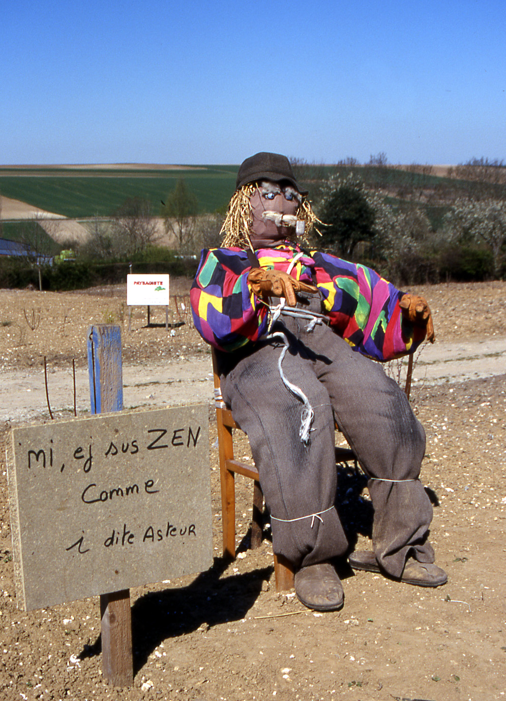
Scarecrow Festival 
 MoringhemLocation within Nord-Pas-de-Calais region
 Moringhem
Administration Country France Region Nord-Pas-de-Calais Department Pas-de-Calais Arrondissement Saint-Omer Canton Saint-Omer-Nord Intercommunality Communauté d'agglomération de Saint-Omer Mayor Hugues Persyn Statistics Elevation 37–166 m (121–545 ft)
(avg. 93 m/305 ft)Land area1 9.98 km2 (3.85 sq mi) Population2 464 (2006) - Density 46 /km2 (120 /sq mi) INSEE/Postal code 62592/ 62910 1 French Land Register data, which excludes lakes, ponds, glaciers > 1 km² (0.386 sq mi or 247 acres) and river estuaries. 2 Population without double counting: residents of multiple communes (e.g., students and military personnel) only counted once. Coordinates: 50°45′50″N 2°07′42″E / 50.7638888889°N 2.12833333333°E
Moringhem is a commune in the Pas-de-Calais department in the Nord-Pas-de-Calais region of France.
Contents
Geography
Moringhem lies about 5 miles (8 km) west of Saint-Omer, at the D207 and D223 crossroads. The A26 autoroute passes by about a half mile to the west.
Population
Population history 1962 1968 1975 1982 1990 1999 2006 339 360 368 363 361 383 464 Census count starting from 1962: Population without duplicates Places of interest
- The stone tower of an 18th century windmill.
- The church of St. Andre, dating from the eighteenth century.
- The church of St.Maxime at Difques, dating from the fifteenth century.
- The chapel of Barbinghein, built in 1714.
See also
References
External links
- Scarecrow info (French)
- Moringhem on the Quid website (French)
-
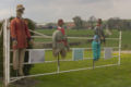
April scarecrow festival
-
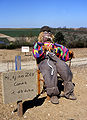
The scarecrows of Moringhem
Categories:- Communes of Pas-de-Calais
- Pas-de-Calais geography stubs


Wikimedia Foundation. 2010.