- Mingoval
-
Mingoval

 MingovalLocation within Nord-Pas-de-Calais region
 Mingoval
Administration Country France Region Nord-Pas-de-Calais Department Pas-de-Calais Arrondissement Arras Canton Aubigny-en-Artois Intercommunality Communauté de communes de l'Atrébatie Mayor Jacques Deneux
(2008–2014)Statistics Elevation 109–157 m (358–515 ft)
(avg. 125 m/410 ft)Land area1 3.79 km2 (1.46 sq mi) Population2 206 (2006) - Density 54 /km2 (140 /sq mi) INSEE/Postal code 62574/ 62690 1 French Land Register data, which excludes lakes, ponds, glaciers > 1 km² (0.386 sq mi or 247 acres) and river estuaries. 2 Population without double counting: residents of multiple communes (e.g., students and military personnel) only counted once. Coordinates: 50°22′31″N 2°34′32″E / 50.3752777778°N 2.57555555556°E
Mingoval is a commune in the Pas-de-Calais department in the Nord-Pas-de-Calais region of France.
Contents
Geography
Mingoval is situated 12 miles (19 km) northwest of Arras, on the D73 road.
Population
Population history 1962 1968 1975 1982 1990 1999 2006 198 201 196 183 207 208 206 Census count starting from 1962: Population without duplicates Places of interest
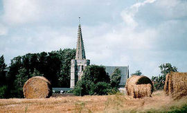
- The church of St.Liévin, dating from the eighteenth century.
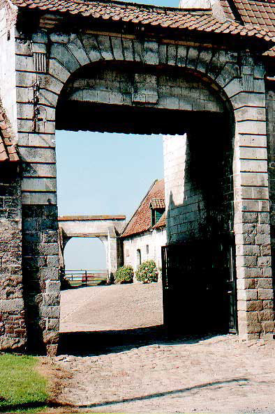
- The seventeenth century cemetery entrance.
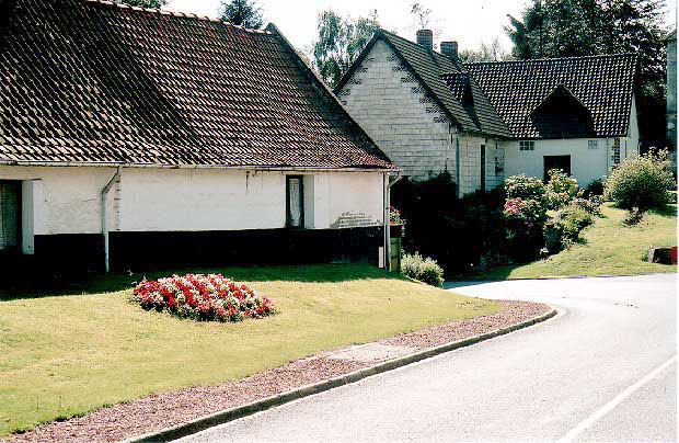
- An old farmhouse.
See also
References
External links
- Mingoval on the Quid website (French)
-

Ancient entrance to the old farm
-

The churchyard entrance
-

The church spire
-
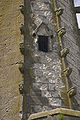
Architectural detail
-

Typical regional houses
-

The church
Categories:- Communes of Pas-de-Calais
- Arras arrondissement geography stubs


Wikimedia Foundation. 2010.