- Clarques
-
Clarques
Chateau 

 ClarquesLocation within Nord-Pas-de-Calais region
 Clarques
Administration Country France Region Nord-Pas-de-Calais Department Pas-de-Calais Arrondissement Saint-Omer Canton Aire-sur-la-Lys Intercommunality Communauté de communes de la Morinie Mayor René Allouchery
(2001–2008)Statistics Elevation 29–97 m (95–318 ft)
(avg. 66 m/217 ft)Land area1 6.96 km2 (2.69 sq mi) Population2 233 (1999) - Density 33 /km2 (85 /sq mi) INSEE/Postal code 62226/ 62129 1 French Land Register data, which excludes lakes, ponds, glaciers > 1 km² (0.386 sq mi or 247 acres) and river estuaries. 2 Population without double counting: residents of multiple communes (e.g., students and military personnel) only counted once. Coordinates: 50°38′50″N 2°16′42″E / 50.6472222222°N 2.27833333333°E
Clarques is a commune in the Pas-de-Calais department in the Nord-Pas-de-Calais region of France.
Contents
Geography
A farming village situated 8 miles (13 km) south of Saint-Omer, on the D190 and D192 road junction. The A26 autoroute passes by the commune just 200 yards (180 m) away.
Population
Historical population of Clarques 1962 1968 1975 1982 1990 1999 234 254 238 206 231 233 From the year 1962 on: population without double counting—residents of multiple communes (e.g. students and military personnel) are counted only once. Places of interest
- The church of St.Martin, dating from the seventeenth century.
- The remains of two abbeys: The Benedictine abbey of Saint-Jean-au-Mont, founded in 1080 by Hubert, Bishop of Thérouanne, was destroyed in 1537 during military operations and the community took refuge at Ypres. The other abbey was founded in 1131 as an Augustinian (Premonstratensian order) by Milon, Bishop of Thérouanne, which survived until the French Revolution.
- A watermill
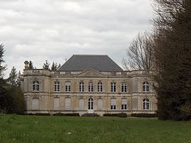
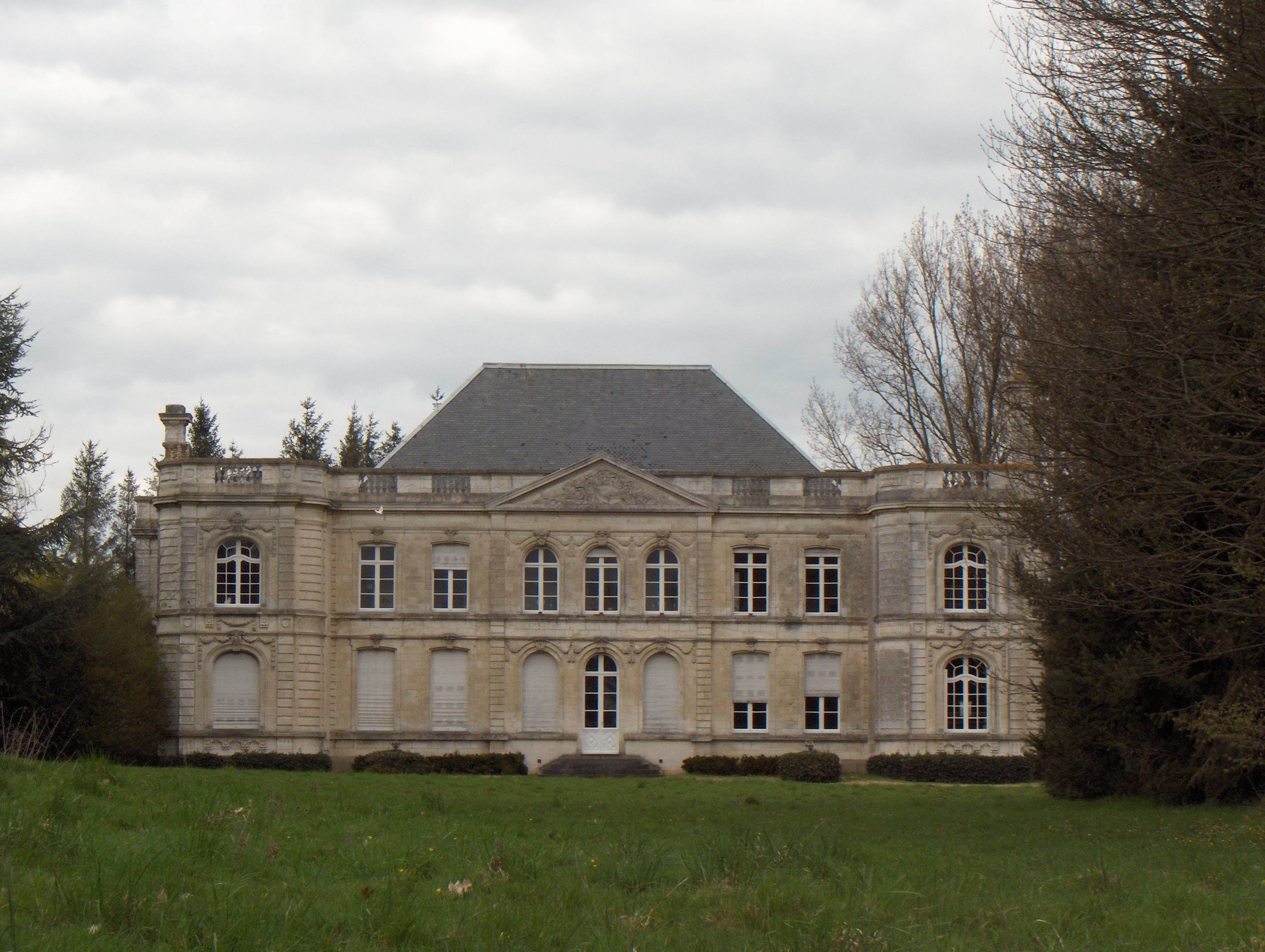
- A chateau
The present chateau was built in the early 1780s by Augustin Titelouze de Gournay, a king’s musketeer, before his marriage to Marie-Therese de Feuchin in 1788. The house was enlarged in 1905 by Joseph de Gournay from the plans of architect Lillois Vilain, adding the protruding wings.
See also
References
External links
- Clarques on the Quid website (French)
Categories:- Communes of Pas-de-Calais
- Pas-de-Calais geography stubs


Wikimedia Foundation. 2010.