- Montenescourt
-
Montenescourt


 MontenescourtLocation within Nord-Pas-de-Calais region
 Montenescourt
Administration Country France Region Nord-Pas-de-Calais Department Pas-de-Calais Arrondissement Arras Canton Beaumetz-lès-Loges Intercommunality Val de Gy Mayor Bernard Libessart
(2008–2014)Statistics Elevation 76–127 m (249–417 ft)
(avg. 83 m/272 ft)Land area1 5.08 km2 (1.96 sq mi) Population2 431 (2006) - Density 85 /km2 (220 /sq mi) INSEE/Postal code 62586/ 62123 1 French Land Register data, which excludes lakes, ponds, glaciers > 1 km² (0.386 sq mi or 247 acres) and river estuaries. 2 Population without double counting: residents of multiple communes (e.g., students and military personnel) only counted once. Coordinates: 50°17′36″N 2°37′31″E / 50.2933333333°N 2.62527777778°E
Montenescourt is a commune in the Pas-de-Calais department in the Nord-Pas-de-Calais region of France.
Contents
Geography
Montenescourt is situated 7 miles (11 km) west of Arras, at the junction of the D61 and the D56 roads.
Population
Population history 1962 1968 1975 1982 1990 1999 2006 137 153 227 362 418 408 431 Census count starting from 1962: Population without duplicates Places of interest
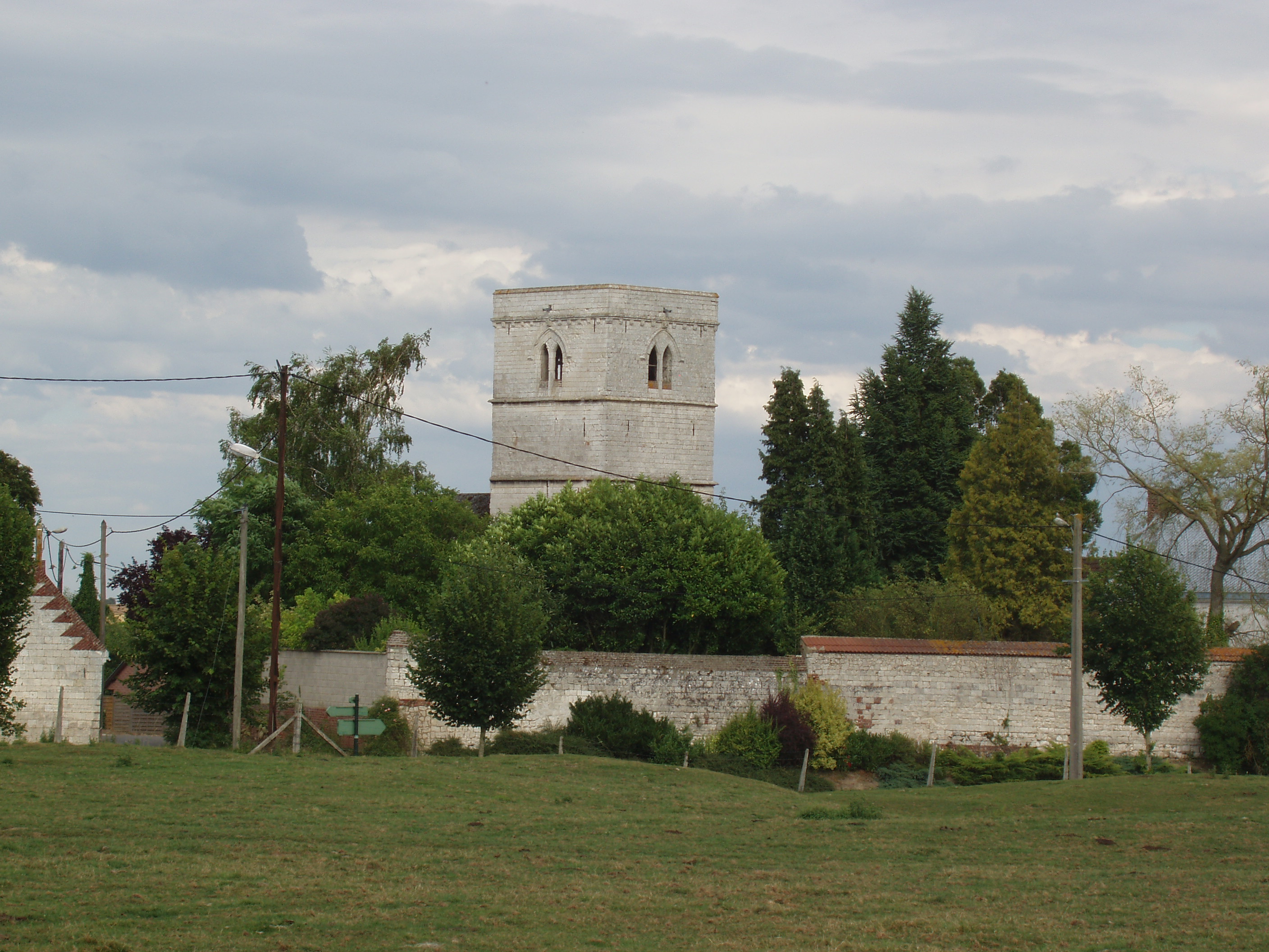
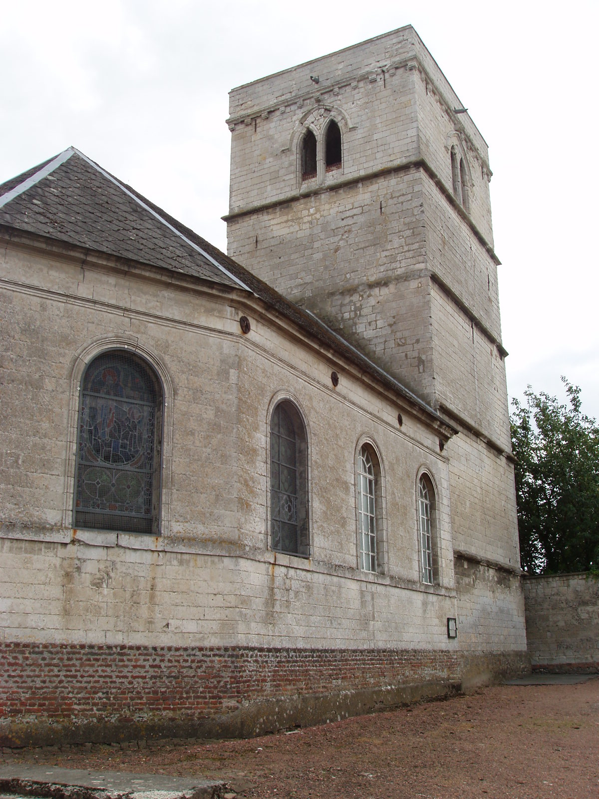
- The church of St.Leger, dating from the seventeenth century.
See also
References
External links
- Montenescourt on the Quid website (French)
-
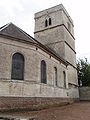
The church
-
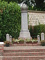
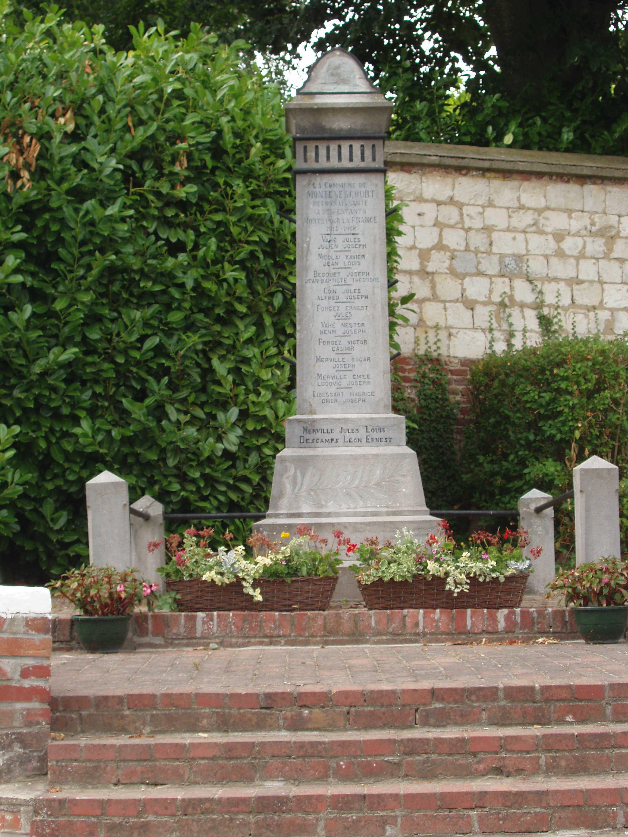
The war memorial
Categories:- Communes of Pas-de-Calais
- Arras arrondissement geography stubs


Wikimedia Foundation. 2010.