- Marlborough, Calgary
-
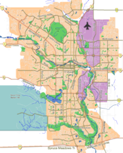
Marlborough — Neighbourhood — Location of Marlborough in Calgary
Coordinates: 51°03′34″N 113°58′05″W / 51.05944°N 113.96806°W Country  Canada
Province  Alberta
City  Calgary
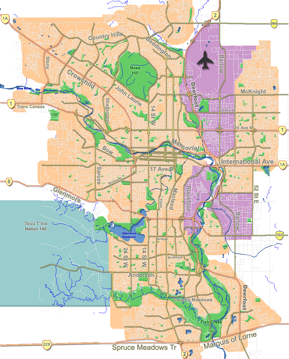
Quadrant NE Ward 10 Established 1967 Government[1] - Administrative body Calgary City Council - Alderman Andre Chabot Elevation 1,075 m (3,527 ft) Population (2006)[2] - Total 8,465 - Average Income $53,921 Postal code T2A Website Marlborough Community Association Malrborough is a residential neighbourhood in the north-east quadrant of Calgary, Alberta. It is bounded by the Trans-Canada Highway to the north, 52 Street E to the east, Memorial Drive to the south and 36 Street E to the west.
The community is served by the Marlborough station of the C-Train LRT system, and Marlborough Mall is located in the south-west corner of the neighbourhood.
Marlborough was established in 1967, and was named after Marlborough, England. It is represented in the Calgary City Council by Ward 10 Alderman Andre Chabot.[3]
The postal code in this area is T2A.
Contents
History
The northwest corner of the district was largely undeveloped when the community was first developed; a small motel was in existence on the south-east corner of 16th Avenue and 36th Street NE and a large open field was used for industrial/oilfield storage into the 1970s. The creation of a clover leaf exchange in the early 1970s at that intersection saw the motel demolished. In the 1990s, the final major residential development occurred as houses were added to the western portion of Marlyn Way.
Demographics
In 2006 the neighbourhood had a population of 8,529.[4] Residents in this community had a median household income of $53,921 in 2000, and there were 17.1% low income residents living in the neighborhood.[1] As of 2000, 30.1% of the residents were immigrants. A proportion of 17% of the buildings were condominiums or apartments, and 27.8% of the housing was used for renting.[2]
Education
The Bob Edwards Junior High, Chris Akkerman Elementary and Marlborough Elementary public schools serve the community, as well as the St. Mark Elementary School (catholic).
See also
References
- ^ a b City of Calgary (2004). "Ward 10 Profile". http://www.calgary.ca/docgallery/bu/cns/community_social_statistics/ward_10_profile.pdf. Retrieved 2007-05-09.
- ^ a b City of Calgary (2006). "Marlborough Community Statistics". http://www.calgary.ca/docgallery/bu/cns/community_social_statistics/marlborough.pdf. Retrieved 2007-05-09.
- ^ Federation of Calgary Communities. "Marlborough Community". http://www.calgaryarea.com/ne/marlborough/marlborough.htm. Retrieved 2007-05-09.
- ^ City of Calgary (2006). "Community Population Comparison". http://www.calgary.ca/DocGallery/BU/cityclerks/popcomparisonbycomm.pdf. Retrieved 2007-05-09.
External links

Sunridge Mall Rundle Pineridge Franklin Industrial Area 
Marlborough Park  Marlborough

Albert Park/Radisson Heights Forest Heights Penbrooke Meadows Coordinates: 51°03′34″N 113°58′05″W / 51.05944°N 113.96806°W
Categories:- Neighbourhoods in Calgary
- Calgary stubs
Wikimedia Foundation. 2010.