- West Hillhurst, Calgary
Infobox Settlement
official_name = West Hillhurst
other_name =
settlement_type = Neighbourhood
imagesize =
image_caption =
city_logo =
citylogo_size =
mapsize =
map_caption =
image_dot_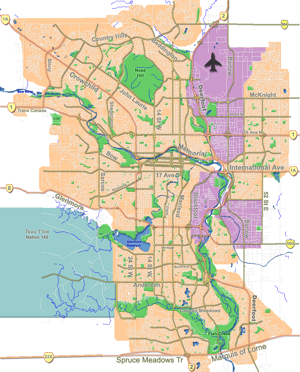
dot_mapsize = 225px
dot_map_caption = Location of West Hillhurst inCalgary
dot_x = 102|dot_y = 105
subdivision_type = Country
subdivision_name = CAN
subdivision_type1 = Province
subdivision_name1 = AB
subdivision_type2 = City
subdivision_name2 = flag|Calgary
subdivision_type3 = Quadrant
subdivision_name3 = NW
subdivision_type4 = Ward
subdivision_name4 = 7
government_footnotes =
government_type =
leader_title = Administrative body
leader_name =Calgary City Council
leader_title1 = Alderman
leader_name1 = Druh Farrell
leader_title2 =
leader_name2 =
established_title = Established
established_date = 1945
established_title2 = Annexed
established_date2 = 1907
area_magnitude =
area_footnotes =
area_total_km2 = 0.9
population_as_of = 2006
population_footnotes =
population_total = 5557
population_density_km2 =
population_blank1_title = Average Income
population_blank1 = $52092
timezone =
utc_offset =
latd= 51|latm= 03|lats= 30|latNS= N|longd= 114|longm= 06|longs= 37|longEW= W
elevation_footnotes =
elevation_m = 1055
postal_code_type =
postal_code =
area_code =
blank_name =
blank_info =
blank1_name =
blank1_info =
website = [http://www.calgaryarea.com/nw/westhillhurst/westhillhurst.htm West Hillhurst Community Association]
footnotes = West Hillhurst is a northwest neighbourhood lying within the inner suburbs ofCalgary ,Alberta ,Canada . The community, which is located west of Hillhurst, is bisected byCrowchild Trail . On the north, West Hillhurst is bordered by the communities of Hounsfield Heights/Briar Hill and St. Andrew's Heights. Other boundaries are 18th Street W to the east, theBow River to the south and 28th Street W to the west.History
Although annexed by the city of Calgary in 1907, substantial development did not occur until 1945 when many of the houses were built as "Victory Homes" for soldiers returning from
World War II . A number of these buildings are still standing despite the fact that many were only intended to temporary.Demographics
In 2006 the neighbourhood had a population of 5,557.Cite web| url=http://www.calgary.ca/DocGallery/BU/cityclerks/popcomparisonbycomm.pdf | author= City of Calgary | title= Community Population Comparison | year=2006 | accessdate= 2007-05-21] Residents in this community had a
median household income of $52,092 in 2000, and there were 16.4% low income residents living in the neighborhood.Cite web| url= http://www.calgary.ca/docgallery/bu/cns/community_social_statistics/ward_7_profile.pdf | title=Ward 7 Profile| author=City of Calgary| year=2004| accessdate= 2007-05-21] As of 2000, 12.8% of the residents wereimmigrant s. A proportion of 30.6% of the buildings werecondominium s orapartment s, and 44.1% of the housing was used forrenting .Cite web| url= http://www.calgary.ca/docgallery/bu/cns/community_social_statistics/west_hillhurst.pdf| title= West Hillhurst Community Statistics| author= City of Calgary | year= 2006 | accessdate= 2007-05-21]Education
In 2006, there were two schools in the district:
* École Madeleine d'Houet Bilingual Junior High School - A Separate Catholic school
*Louise Dean Centre - A public high school for new and expectant young mothers throughout Calgary.ee also
*
List of neighbourhoods in Calgary References
External links
* [http://www.calgaryarea.com/nw/westhillhurst/westhillhurst.htm Calgary Area] - West Hillhurst Community Info
Canadian City Geographic Location (8-way)
Northwest = St. Andrews Heights
North = 
Wikimedia Foundation. 2010.