- Renfrew, Calgary
Infobox Settlement
official_name = Renfrew
other_name =
settlement_type = Neighbourhood
imagesize =
image_caption =
city_logo =
citylogo_size =
mapsize =
map_caption =
image_dot_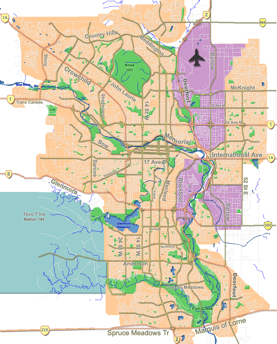
dot_mapsize = 225px
dot_map_caption = Location of Renfrew inCalgary
dot_x = 142|dot_y = 103
subdivision_type = Country
subdivision_name = CAN
subdivision_type1 = Province
subdivision_name1 = AB
subdivision_type2 = City
subdivision_name2 = flag|Calgary
subdivision_type3 = Quadrant
subdivision_name3 = NE
subdivision_type4 = Ward
subdivision_name4 = 9
government_footnotes =
government_type =
leader_title = Administrative body
leader_name =Calgary City Council
leader_title1 = Alderman
leader_name1 = Joe Ceci
leader_title2 =
leader_name2 =
established_title = Established
established_date = 1950
established_title2 =
established_date2 =
area_magnitude =
area_footnotes =
area_total_km2 = 1.5
population_as_of = 2006
population_footnotes =
population_total = 5629
population_density_km2 =
population_blank1_title = Average Income
population_blank1 = $47692
timezone =
utc_offset =
latd= 51|latm= 03|lats= 44|latNS= N|longd= 114|longm= 02|longs= 25|longEW= W
elevation_footnotes =
elevation_m = 1070
postal_code_type =
postal_code =
area_code =
blank_name =
blank_info =
blank1_name =
blank1_info =
website = [http://www.calgarycommunities.com/communities/renfrew.php Renfrew Community Association]
footnotes = Renfrew is a residential neighborhood in the north-east quadrant ofCalgary ,Alberta . It is located south of theTrans-Canada Highway , and north of theinner city community of Bridgeland. To the east it is bordered by the "Nose Hill Creek" and theDeerfoot Trail and is separated from Crescent Heights to the west by Edmonton Trail.It is represented in the
Calgary City Council by Ward 9Alderman Joe Ceci.The area consists mainly of residences with no major commercial or industrial facilities. There are some small businesses located along Edmonton Trail and 16th Avenue. There are no emergency health care facilities in the district, though several physician's offices have been established, and the Alberta Alcoholism and Drug Abuse Commission does have a treatment facility established in the neighbourhood.
History
Ukrainian Pioneer Park is located on the 600 block of 7th Avenue, and there are two Ukrainian churches in close proximity, a testament to early settlers of slavic origin who settled in the area. Other visible signs of this heritage include a monument to victims of genocide in Ukraine, erected by the banks of the Bow River in the adjacent community of
Bridgeland .The community itself was not developed until the 1940s. During the Second World War, the area was occupied by a Royal Canadian Air Force training base and airfield which also served as the Calgary airport. Once the airport was relocated from its original site (on the corner of present-day 6th Street and Regal Crescent), the area was developed for residential use.
Demographics
In 2006 the neighbourhood had a population of 5,629.Cite web| url=http://www.calgary.ca/DocGallery/BU/cityclerks/popcomparisonbycomm.pdf | author= City of Calgary | title= Community Population Comparison | year=2006 | accessdate= 2007-05-09] Residents in this community had a
median household income of $47,692 in 2000, and there were 15.6% low income residents living in the neighborhood.Cite web| url= http://www.calgary.ca/docgallery/bu/cns/community_social_statistics/ward_9_profile.pdf | title=Ward 9 Profile| author=City of Calgary| year=2004| accessdate= 2007-05-09] As of 2000, 18.4% of the residents wereimmigrant s. A proportion of 38.5% of the buildings werecondominium s orapartment s, and 40.9% of the housing was used forrenting .Cite web| url= http://www.calgary.ca/docgallery/bu/cns/community_social_statistics/renfrew.pdf| title= Renfrew Community Statistics| author= City of Calgary | year= 2006 | accessdate= 2007-05-09]Education
Several major schools are located in the district, including
Colonel Macleod Junior High , St. Alphonsus Elementary/Junior High, Stanley Jones Elementary, and the former Renfrew Elementary.Amenities
A full-sized football field is located at Renfrew Athletic Park. Parkland and greenspace are not abundant with the exception of the school grounds, and the area adjacent to Nose Hill creek, which includes the McInnis & Holloway Memorial Forest still in its infancy. Other athletic facilities in addition to the schools include the Boys & Girls Club, a swimming pool, indoor skating rink, an outdoor skating rink at the community association building, and soccer fields located by the creek.
A
Mr. Sub outlet has been in continuous operation in its present 16th Avenue location since the 1970s. The neighbourhood is also serviced by aKFC outlet on 13th Avenue.Several convenience stores are clustered in the western portion of the neighbourhood, including the Stanley Jones grocery, occupying one of the oldest surviving structures in the neighbourhood.
The neighbourhood is in direct proximity to several commercial zones, including shops along Edmonton Trail and Centre Street in adjacent Crescent Heights and Bridgeland, along 16th Avenue to the north and west, and across the bridge in Mayland Heights. The downtown core is only 3,000 metres from Renfrew and easily accessible by city transit, private automobile, or foot.
ee also
*
List of neighbourhoods in Calgary References
External links
* [http://www.calgarycommunities.com/communities/renfrew.php Renfrew Community Association]
Canadian City Geographic Location (8-way)
Northwest = Tuxedo
North =

Wikimedia Foundation. 2010.