- Winston Heights-Mountview, Calgary
-
Winston Heights
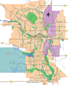
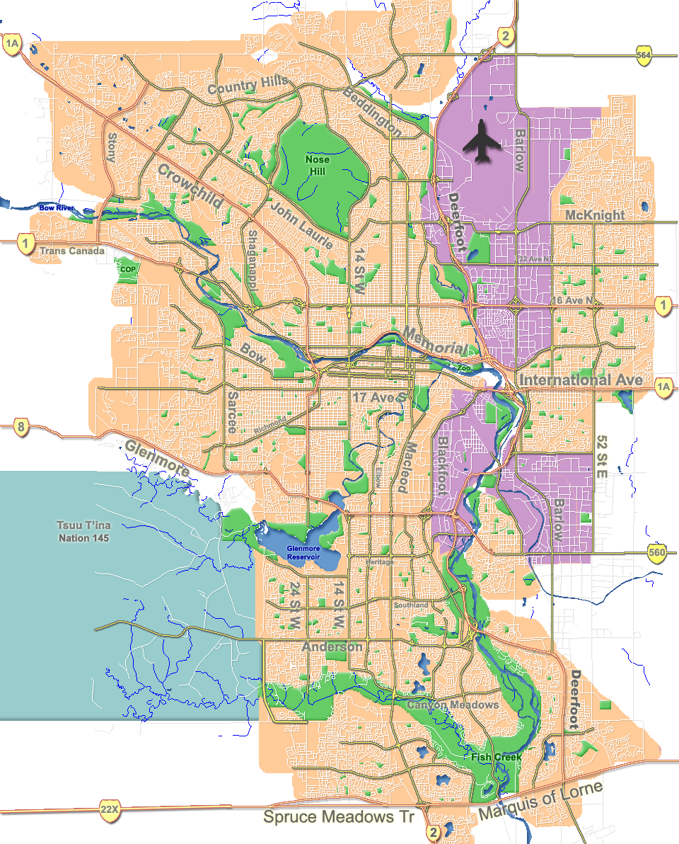
Mountview— Neighbourhood — Location of Winston Heights and Mountview in Calgary
Coordinates: 51°04′16″N 114°00′48″W / 51.07111°N 114.01333°W Country  Canada
Province  Alberta
City  Calgary
Quadrant NE Ward 9 Established 1932 Government[1] – Administrative body Calgary City Council – Alderman Gian-Carlo Carra Elevation 1,090 m (3,576 ft) Population (2006)[2] – Total 3,631 – Average Income $41,065 Website Winston Heights-Mountview Community Association Winston Heights/Mountview is a residential neighbourhood in the north-east quadrant of Calgary, Alberta. It is bounded by 32 Avenue to the north, the Nose Creek and Deerfoot Trail to the east, Trans-Canada Highway to the south and Edmonton Trail to the west. Fox Hollows and Elks golf course are developed at the eastern edge of the neighborhood.
It is represented in the Calgary City Council by Ward 9 Alderman Gian-Carlo Carra.
The neighbourhood was established in 1932 and largely expanded in the 1950s. The community has an area redevelopment plan in place.[3]
Contents
Demographics
In 2006 the neighbourhood had a population of 3,631.[4] Residents in this community had a median household income of $41,065 in 2000, and there were 24.5% low income residents living in the neighborhood.[1] As of 2000, 18.7% of the residents were immigrants. A proportion of 21.1% of the buildings were condominiums or apartments, and 36.8% of the housing was used for renting.[2]
Education
The community is served by Georges P. Vanier Bilingual Junior High and Mount View Elementary public schools.
See also
References
- ^ a b City of Calgary (2004). "Ward 9 Profile". http://www.calgary.ca/docgallery/bu/cns/community_social_statistics/ward_9_profile.pdf. Retrieved 2007-05-09.
- ^ a b City of Calgary (2006). "Winston Heights/Mountview Community Statistics". http://www.calgary.ca/docgallery/bu/cns/community_social_statistics/winston_heights_mountview.pdf. Retrieved 2007-05-09.
- ^ City of Calgary Planning (2005). "Winston Heights/Mountview Area Redevelopment Plan". http://www.calgary.ca/DocGallery/BU/planning/pdf/2704_winston_heights_mountview_arp_1of2.pdf. Retrieved 2007-05-11.[dead link]
- ^ City of Calgary (2006). "Community Population Comparison". http://www.calgary.ca/DocGallery/BU/cityclerks/popcomparisonbycomm.pdf. Retrieved 2007-05-09.
External links

Highland Park Greenview Industrial Park Deerfoot Trail Tuxedo 
Vista Heights  Winston Heights / Mountview

Crescent Heights Renfrew Mayland Heights Coordinates: 51°04′18″N 114°03′10″W / 51.07167°N 114.05278°W
Categories:- Neighbourhoods in Calgary
- Calgary stubs
Wikimedia Foundation. 2010.