- Thorncliffe, Calgary
Infobox Settlement
official_name = Thorncliffe
other_name =
settlement_type = Neighbourhood
imagesize =
image_caption =
city_logo =
citylogo_size =
mapsize =
map_caption =
image_dot_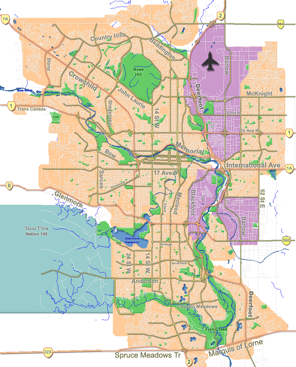
dot_mapsize = 225px
dot_map_caption = Location of Thorncliffe inCalgary
dot_x = 125|dot_y = 60
subdivision_type = Country
subdivision_name = CAN
subdivision_type1 = Province
subdivision_name1 = AB
subdivision_type2 = City
subdivision_name2 = flag|Calgary
subdivision_type3 = Quadrant
subdivision_name3 = NW
subdivision_type4 = Ward
subdivision_name4 = 4
government_footnotes =
government_type =
leader_title = Administrative body
leader_name =Calgary City Council
leader_title1 = Alderman
leader_name1 = Bob Hawkesworth
leader_title2 =
leader_name2 =
established_title = Established
established_date = 1954
established_title2 =
established_date2 =
area_magnitude =
area_footnotes =
area_total_km2 = 3.8
population_as_of = 2006
population_footnotes =
population_total = 8862
population_density_km2 =
population_blank1_title = Average Income
population_blank1 = $50009
timezone =
utc_offset =
latd= 51|latm= 06|lats= 08|latNS= N|longd= 114|longm= 04|longs= 01|longEW= W
elevation_footnotes =
elevation_m = 1085
postal_code_type =
postal_code =
area_code =
blank_name =
blank_info =
blank1_name =
blank1_info =
website = [http://www.calgaryarea.com/nw/thorncliffe/thorncliffe.htm Thorncliffe Community Association]
footnotes = Thorncliffe is a residential neighbourhood in the north-west quadrant ofCalgary ,Alberta . It is bounded by 64 Avenue to the north,Deerfoot Trail to the east, McKnight Boulevard to the south and 14 Street W andNose Hill Park to the west.Thorncliffe was established in 1954. It is represented in the
Calgary City Council by Ward 4Alderman Bob Hawkesworth. [Cite web| author= Federation of Calgary Communities | url= http://www.calgaryarea.com/nw/thorncliffe/thorncliffe.htm |title= Thorncliffe Community| accessdate= 2007-05-12]Demographics
In 2006 the neighbourhood had a population of 8,862.Cite web| url=http://www.calgary.ca/DocGallery/BU/cityclerks/popcomparisonbycomm.pdf | author= City of Calgary | title= Community Population Comparison | year=2006 | accessdate= 2007-05-12] Residents in this community had a
median household income of $50,009 in 2000, and there were 20.8% low income residents living in the neighborhood.Cite web| url= http://www.calgary.ca/docgallery/bu/cns/community_social_statistics/ward_4_profile.pdf | title=Ward 4 Profile| author=City of Calgary| year=2004| accessdate= 2007-05-12] As of 2000, 18.8% of the residents wereimmigrant s. A proportion of 13.8% of the buildings werecondominium s orapartment s, and 34% of the housing was used forrenting .Cite web| url= http://www.calgary.ca/docgallery/bu/cns/community_social_statistics/thorncliffe.pdf| title= Thorncliffe Community Statistics| author= City of Calgary | year= 2006 | accessdate= 2007-05-12]Education
The community is served by Colonel Sanders Elementary and Thorncliffe Elementary
public school , as well as by Corpus Christi Elementary School (catholic).ee also
*
List of neighbourhoods in Calgary References
External links
* [http://www.calgarycommunities.com/communities/thorncliffe_greenview.php Greeview-Thorncliffe Community Association]
Canadian City Geographic Location (8-way)
Northwest =Nose Hill Park
North =

Wikimedia Foundation. 2010.