- Douglasdale/Douglasglen, Calgary
-
For other uses, see Douglasdale (disambiguation).
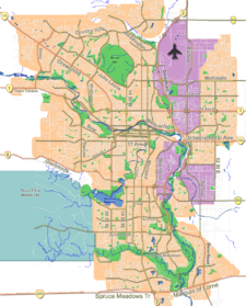
Douglasdale-Douglasglen — Neighbourhood — Location of Douglasdale and Douglasglen in Calgary
Coordinates: 50°56′27″N 113°59′21″W / 50.94083°N 113.98917°W Country  Canada
Province  Alberta
City  Calgary
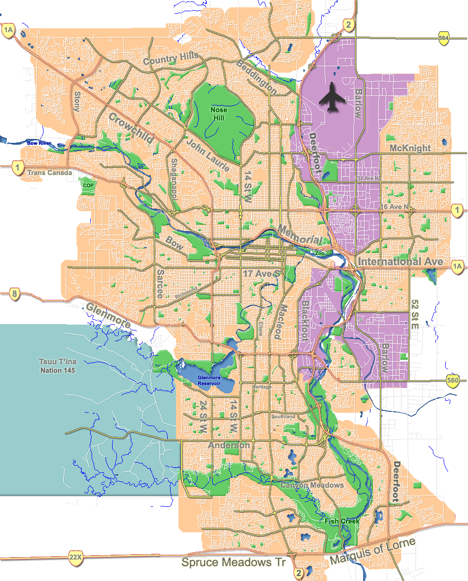
Quadrant SE Ward 12 Established 1986 Government[1] – Administrative body Calgary City Council – Alderman Shane Keating Area – Total 5.1 km2 (2 sq mi) Elevation 1,040 m (3,412 ft) Population (2006)[2] – Total 11,847 – Average Income $85,350 Website Douglasdale-Douglasglen Community Douglasdale is a residential neighbourhood in the south-east quadrant of Calgary, Alberta. It is bounded by 114 Avenue S to the north, 130 Avenue S to the south, Deerfoot Trail to the east and the Bow River to the west. The Fish Creek Provincial Park borders the neighbourhood to the west. Douglasglen is located in the northern area, north of Deerfoot Trail.
The community was established in 1986. It is represented in the Calgary City Council by Ward 12 Alderman Shane Keating.
Contents
Demographics
In 2006 the neighbourhood had a population of 11,847.[3] Residents in this community had a median household income of $85,350 in 2000, and there were 2.4% low income residents living in the neighborhood.[1] As of 2000, 15.2% of the residents were immigrants. All buildings were single-family detached homes, and 1.7% of the housing was used for renting.[2]
Education
This neighborhood has one public elementary school: Douglasdale Elementary School. (K-4, plus a program for Autistic learners) It also has a pubilc Catholic elementary/junior high school: Monsignor J. S. Smith School (K-9)
See also
References
- ^ a b City of Calgary (2004). "Ward 12 Profile". http://www.calgary.ca/docgallery/bu/cns/community_social_statistics/ward_12_profile.pdf. Retrieved 2007-05-11.
- ^ a b City of Calgary (2006). "Douglasdale/Douglasglen Community Statistics". http://www.calgary.ca/docgallery/bu/cns/community_social_statistics/douglasdale_glen.pdf. Retrieved 2007-05-11.
- ^ City of Calgary (2006). "Community Population Comparison". http://www.calgary.ca/DocGallery/BU/cityclerks/popcomparisonbycomm.pdf. Retrieved 2007-05-11.
External links

Maple Ridge Riverbend Shepard Industrial Queensland 
 Douglasdale
Douglasglen

Bow River
Deer RunMcKenzie Lake McKenzie Towne Coordinates: 50°56′27″N 113°59′21″W / 50.94083°N 113.98917°W
Categories:- Neighbourhoods in Calgary
- Calgary stubs
Wikimedia Foundation. 2010.