- Coventry Hills, Calgary
-
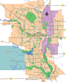
Coventry Hills — Neighbourhood — Location of Coventry Hills in Calgary
Coordinates: 51°09′38″N 114°03′00″W / 51.16056°N 114.05°W Country  Canada
Province  Alberta
City  Calgary
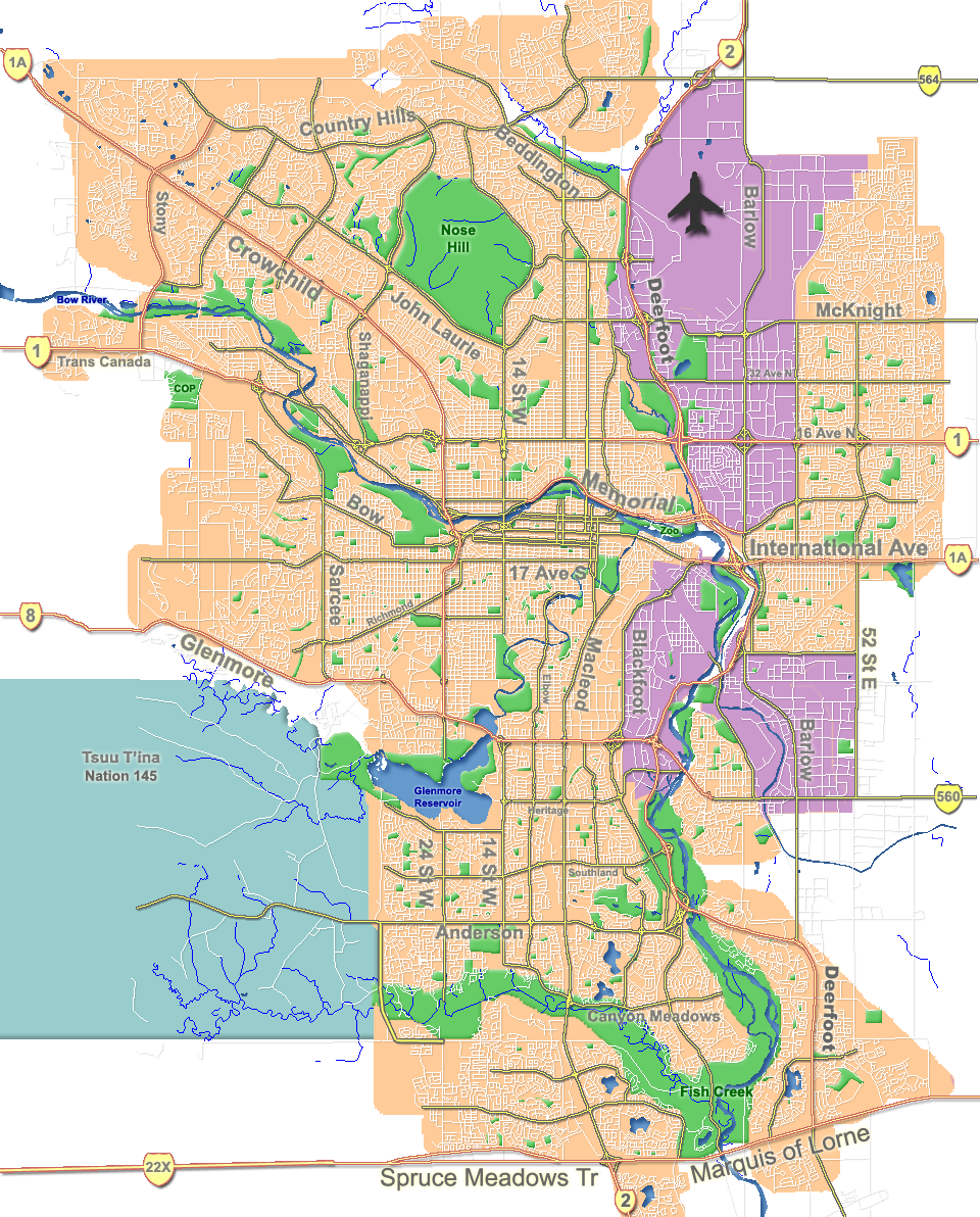
Quadrant NE Ward 3 Established 1991 Government[1] – Administrative body Calgary City Council – Alderman Jim Stevenson Elevation 1,080 m (3,543 ft) Population (2006)[2] – Total 12,601 – Average Income $70,096 Website Coventry Hills Community Association Coventry Hills is a suburban residential neighbourhood in the north-west quadrant of Calgary, Alberta. It is located at the northern edge of the city, and is bounded by Stoney Trail to the north, Deerfoot Trail and the Nose Creek to the east, Country Hills Boulevard to the south and Harvest Hills Boulevard to the west. The Harvest Hills golf course borders the community to the south.
Coventry Hills was established as a neighbourhood in 1991. It is represented in the Calgary City Council by Ward 3 Alderman Jim Stevenson.[3]
Contents
Demographics
In 2006 the neighbourhood had a population of 12,601.[4] Residents in this community had a median household income of $70,096 in 2000, and there were 6% low income residents living in the neighborhood.[1] As of 2000, 12.9% of the residents were immigrants. All buildings were single-family detached homes, and 3.9% of the housing was used for renting.[2]
Education
This neighborhood has one public elementary school: Coventry Hills Elementary School. (K-4)
See also
References
- ^ a b City of Calgary (2004). "Ward 3 Profile". http://www.calgary.ca/docgallery/bu/cns/community_social_statistics/ward_3_profile.pdf. Retrieved 2007-05-13.
- ^ a b City of Calgary (2006). "Coventry Hills Community Statistics". http://www.calgary.ca/docgallery/bu/cns/community_social_statistics/coventry_hills.pdf. Retrieved 2007-05-13.
- ^ Federation of Calgary Communities. "Coventry Hills Community". http://www.calgaryarea.com/ne/coventryhills/coventry.htm. Retrieved 2007-05-13.
- ^ City of Calgary (2006). "Community Population Comparison". http://www.calgary.ca/DocGallery/BU/cityclerks/popcomparisonbycomm.pdf. Retrieved 2007-05-13.
External links
- Northern Hills (Cinnamon Hills - Country Hills - Coventry Hills - Harvest Hills - Panorama Hills Community Association
- Northern Hills Community Association - Dedicated to providing community sports programs such as soccer, schools, events, recreation, Planning and Development projects, community enhancement, and much more.

[Rocky View County, Alberta Panorama Hills 
Deerfoot Trail  Coventry Hills

Country Hills Harvest Hills Categories:- Neighbourhoods in Calgary
- Calgary stubs
Wikimedia Foundation. 2010.