- Palliser, Calgary
-
For other uses, see Palliser (disambiguation).
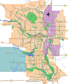
Palliser — Neighbourhood — Location of Palliser in Calgary
Coordinates: 50°57′53″N 114°06′37″W / 50.96472°N 114.11028°W Country  Canada
Province  Alberta
City  Calgary
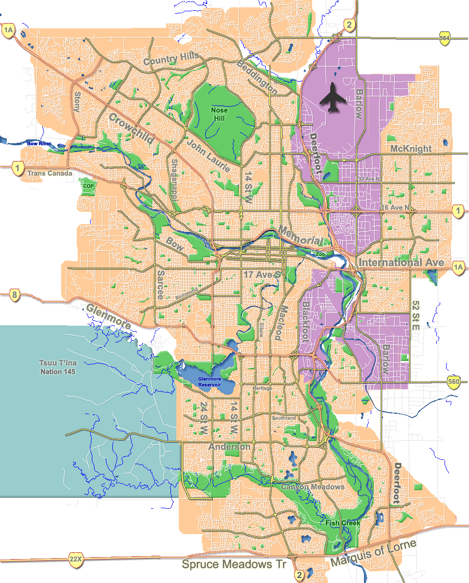
Quadrant SW Ward 11 Established 1967 Government[1] – Administrative body Calgary City Council – Alderman Brian Pincott Area – Total 1.0 km2 (0.4 sq mi) Elevation 1,095 m (3,593 ft) Population (2006)[2] – Total 3,319 – Average Income $57,603 Website Palliser Community Association Palliser is a residential neighbourhood in the south-west quadrant of Calgary, Alberta. It is bounded to the north by 90 Ave SW, to the east by 19 Street SW, to the south by Southland Drive SW and to the west by 24 Street SW. The Tom Brook Athletic Park is located within the neighbourhood.
Named after John Palliser, an early explorer and geographer of western Canada, the neighbourhood was established in 1967. Until 1991 it included the community of Pump Hill. It is represented in the Calgary City Council by Ward 11 Alderman Brian Pincott.[3]
Contents
Demographics
In 2006 the neighbourhood had a population of 3,319.[4] Residents in this community had a median household income of $57,603 in 2000, and there were 7.3% low income residents living in the neighborhood.[1] As of 2000, 20.2% of the residents were immigrants. A proportion of 40.1% of the buildings were condominiums or apartments, and 36.8% of the housing was used for renting.[2]
Education
The community is served by Nellie McClung Elementary School and John Ware Junior High School as well as by St. Benedict Elementary School, a separate school. Nellie McClung Elementary has a GATE program.
See also
References
- ^ a b City of Calgary (2004). "Ward 11 Profile". http://www.calgary.ca/docgallery/bu/cns/community_social_statistics/ward_11_profile.pdf. Retrieved 2007-05-11.
- ^ a b City of Calgary (2006). "Palliser Community Statistics". http://www.calgary.ca/docgallery/bu/cns/community_social_statistics/palliser.pdf. Retrieved 2007-05-11.
- ^ Federation of Calgary Communities. "Palliser Community". http://www.calgaryarea.com/sw/palliser/palliser.htm. Retrieved 2007-05-11.
- ^ City of Calgary (2006). "Community Population Comparison". http://www.calgary.ca/DocGallery/BU/cityclerks/popcomparisonbycomm.pdf. Retrieved 2007-05-11.
External links

Glenmore Reservoir Bayview Glenmore Reservoir Oakridge 
Pump Hill  Palliser

Cedarbrae Braeside Braeside Coordinates: 50°57′53″N 114°06′37″W / 50.96472°N 114.11028°W
Categories:- Neighbourhoods in Calgary
- Calgary stubs
Wikimedia Foundation. 2010.