- Orangeburg County, South Carolina
-
Orangeburg County, South Carolina 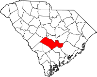
Location in the state of South Carolina
South Carolina's location in the U.S.Founded 1785 Seat Orangeburg Area
- Total
- Land
- Water
1,128 sq mi (2,922 km²)
1,106 sq mi (2,865 km²)
22 sq mi (57 km²), 1.94%Population
- (2000)
- Density
91,582
83/sq mi (32/km²)Website www.orangeburgcounty.org Orangeburg County is a county located in the U.S. state of South Carolina. As of 2000, the population was 91,582. The 2005 Census Estimate placed the population at 92,167.[1] Its county seat is Orangeburg.[2]
Contents
Geography
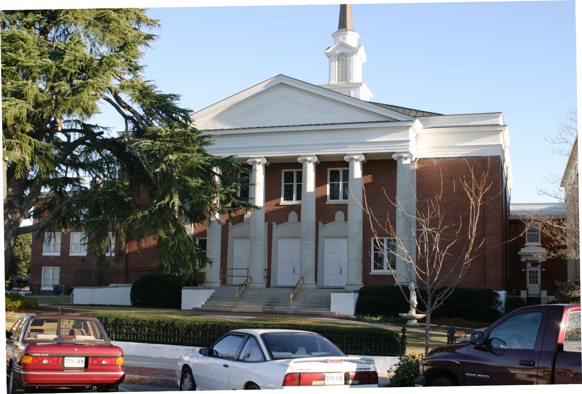
 First Baptist Church, downtown Orangeburg, SC
According to the U.S. Census Bureau, the county has a total area of 1,128 square miles (2,922 km²), of which 1,106 square miles (2,865 km²) is land and 22 square miles (57 km²) (1.94%) is water.
History
Orangeburg Judicial District was chartered in 1769 from a mostly unorganized upland area between the Congaree and Savannah rivers. A county, initially of the same name but later Orange, was organized within the district but deorganized in 1791.
About half of Orangeburg District, the southwest portion bordering on the Savannah River, was separated as Barnwell District in 1800. In 1804 the northern third of the county was separated to form the new Lexington District, which gained another, smaller portion of Orangeburg District in 1832.
In 1868, under the revised state constitution, South Carolina districts became counties, with officials elected by the resident voters rather than by state officials, as done previously.
A small western portion of Orangeburg County was annexed to the newly formed Aiken County in 1871. In 1908 the northern portion of the County along the Congaree River was separated and included in the newly formed Calhoun County, with its seat at Saint Matthews. In 1910 a small western portion of Berkeley County, around Holly Hill and Eutawville, was annexed to Orangeburg County, thus bringing the county to its present size.
Adjacent Counties
- Calhoun County, South Carolina - north
- Clarendon County, South Carolina - northeast
- Dorchester County, South Carolina - southeast
- Berkeley County, South Carolina - southeast
- Bamberg County, South Carolina - south
- Colleton County, South Carolina - south
- Aiken County, South Carolina - west
- Barnwell County, South Carolina - west
- Lexington County, South Carolina - northwest
Demographics
 Confederate memorial, Orangeburg, South Carolina
As of the census[3] of 2000, there were 91,582 people, 34,118 households, and 23,882 families residing in the county. The population density was 83 people per square mile (32/km²). There were 39,304 housing units at an average density of 36 per square mile (14/km²). The racial makeup of the county was 60.86% Black or African American, 37.17% White, 0.46% Native American, 0.43% Asian, 0.02% Pacific Islander, 0.36% from other races, and 0.70% from two or more races. 0.96% of the population were Hispanic or Latino of any race.
There were 34,118 households out of which 32.00% had children under the age of 18 living with them, 45.10% were married couples living together, 20.30% had a female householder with no husband present, and 30.00% were non-families. 26.00% of all households were made up of individuals and 10.30% had someone living alone who was 65 years of age or older. The average household size was 2.58 and the average family size was 3.11.
In the county, the population was spread out with 26.00% under the age of 18, 11.90% from 18 to 24, 26.10% from 25 to 44, 22.80% from 45 to 64, and 13.20% who were 65 years of age or older. The median age was 35 years. For every 100 females there were 87.00 males. For every 100 females age 18 and over, there were 81.60 males.
The median income for a household in the county was $29,567, and the median income for a family was $36,165. Males had a median income of $29,331 versus $20,956 for females. The per capita income for the county was $15,057. About 17.00% of families and 21.40% of the population were below the poverty line, including 27.20% of those under age 18 and 22.30% of those age 65 or over.
Local Native Americans
The traditional lands of the Pee Dee tribes (such as the Beaver Creek Indians and the Pee Dee Indian Nation of Beaver Creek) are between the two forks of the Edisto River in Orangeburg County, and especially along Beaver Creek. Historical accounts refer to them in this area as far back as the 18th century. Many of the tribe members still live in this area. The Beaver Creek Indians achieved state recognition on January 27, 2006 but are still working toward federal recognition. The tribe was formed as a non-profit organization in 1998. Their original language family was Siouan (though today all speak English). Common family names within the tribe are: Chavis, Hutto, Williams, Barr, Bolin, Jackson, Huffman and Gleaton.
Agriculture
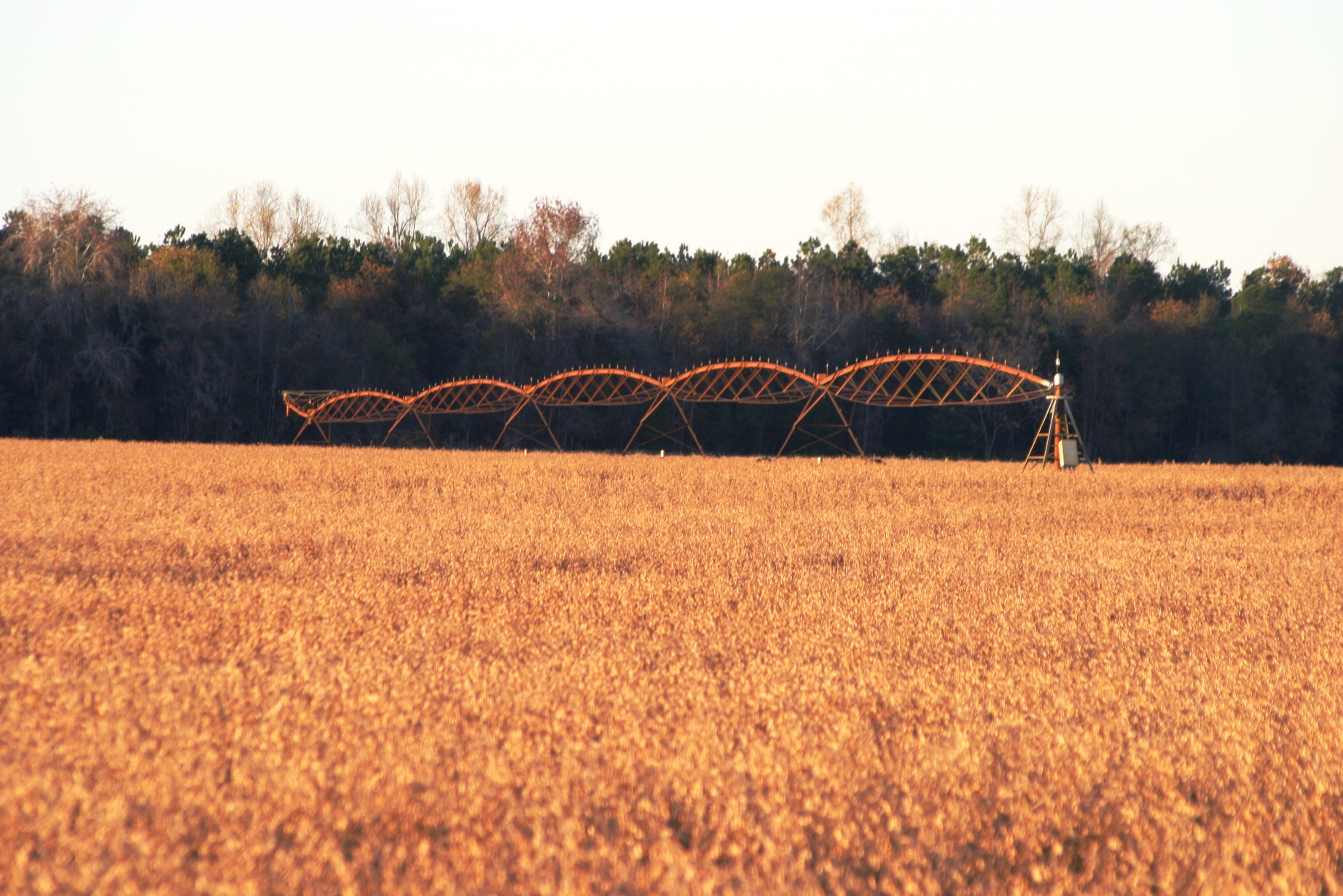
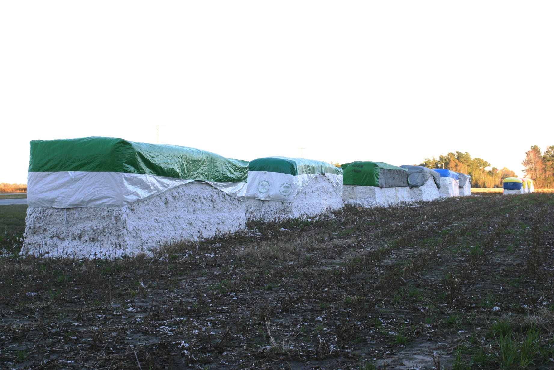
Orangburg County is one of the largest agricultural producing counties in South Carolina, with fertile, slightly rolling land. Major crops are cotton, soybeans, corn, turf grass and watermelons.
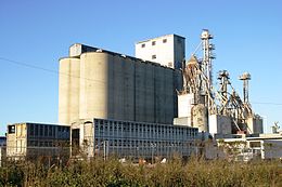 Grain elevator in Orangeburg, SC
 Soybeans ready for harvest, with center pivot irrigation setup, Orangeburg County, South Carolina
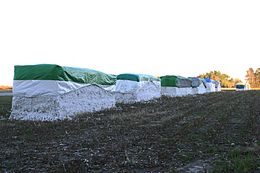 Harvested cotton in modules ready for pickup, Orangeburg County, SC
Cities, Towns, & CDPs
- Bowman
- Branchville
- Brookdale
- Cope
- Cordova
- Elloree
- Eutawville
- Holly Hill
- Livingston
- Neeses
- North
- Norway
- Orangeburg
- Rowesville
- Santee
- Springfield
- Vance
- Wilkinson Heights
- Woodford
See also
Notes
- ^ http://www.census.gov/popest/counties/tables/CO-EST2005-01-45.xls
- ^ "Find a County". National Association of Counties. http://www.naco.org/Counties/Pages/FindACounty.aspx. Retrieved 2011-06-07.
- ^ "American FactFinder". United States Census Bureau. http://factfinder.census.gov. Retrieved 2008-01-31.

Lexington County Calhoun County Clarendon County Barnwell County and Aiken County 
 Orangeburg County, South Carolina

Colleton County and Bamberg County Dorchester County and Berkeley County Municipalities and communities of Orangeburg County, South Carolina City 
Towns Bowman | Branchville | Cope | Cordova | Elloree | Eutawville | Holly Hill | Livingston | Neeses | North | Norway | Rowesville | Santee | Springfield | Vance | Woodford
CDPs Unincorporated
communitiesProvidence | Sixty Six | Wells
 State of South Carolina
Regions Larger cities Smaller cities Towns CDPs Counties - Abbeville
- Aiken
- Allendale
- Anderson
- Bamberg
- Barnwell
- Beaufort
- Berkeley
- Calhoun
- Charleston
- Cherokee
- Chester
- Chesterfield
- Clarendon
- Colleton
- Darlington
- Dillon
- Dorchester
- Edgefield
- Fairfield
- Florence
- Georgetown
- Greenville
- Greenwood
- Hampton
- Horry
- Jasper
- Kershaw
- Lancaster
- Laurens
- Lee
- Lexington
- Marion
- Marlboro
- McCormick
- Newberry
- Oconee
- Orangeburg
- Pickens
- Richland
- Saluda
- Spartanburg
- Sumter
- Union
- Williamsburg
- York
Topics - History
- Famous people
- Governors
- Legislature
- State House
- Congressional districts
- Census areas
- State parks
- Rivers
- Wildlife refuges
- Historic places
- Amusement parks
- Colleges and universities
- Sports venues
- Shopping malls
- Television stations
- Radio stations
- Highways
- Airports
- Visitor attractions
Categories:- South Carolina counties
- Orangeburg County, South Carolina
- 1785 establishments
- Counties of the United States with African American majority populations


Wikimedia Foundation. 2010.