- Childrey
-
Coordinates: 51°35′35″N 1°27′11″W / 51.593°N 1.453°W
Childrey 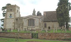
St. Mary the Virgin parish church
 Childrey
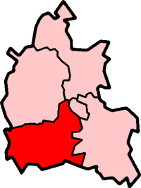
Childrey shown within OxfordshirePopulation 510 (2001 census)[1] OS grid reference SU3687 Parish Childrey District Vale of White Horse Shire county Oxfordshire Region South East Country England Sovereign state United Kingdom Post town Wantage Postcode district OX12 Dialling code 01235 Police Thames Valley Fire Oxfordshire Ambulance South Central EU Parliament South East England UK Parliament Wantage Website Childrey Village Website List of places: UK • England • Oxfordshire 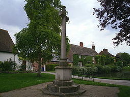 Childrey War Memorial
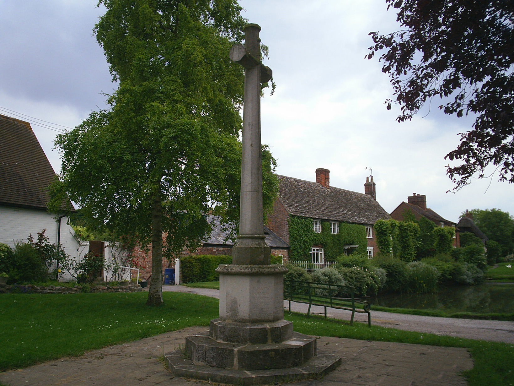
Childrey is a village and civil parish about 2.5 miles (4 km) west of Wantage in the Vale of White Horse. The parish was part of the Wantage Rural District in Berkshire until the 1974 boundary changes transferred the whole of the Vale of White Horse from Berkshire to Oxfordshire.
Childrey was originally an island in a marsh, relating it to nearby villages of the Hanney, Goosey and Charney. Its toponym is derived from the Old English Cille-rīþ, meaning "spring (watersource) - stream".
It has more features than many of the surrounding villages, including a local shop, primary school, duck pond, Church of England parish church, Methodist church, park, public house, stables and farm store. Childrey had a post office until its closure in June 2008.
Contents
Parish church
The Church of England parish church of Saint Mary the Virgin is notable for its association with the Fettiplace family and its collection of memorial brasses, one of which is the largest in old Berkshire. St. Mary's parish is part of the Benefice of Ridgeway, along with the parishes of Kingston Lisle, Letcombe Bassett, Letcombe Regis, Sparsholt and West Challow.[2]
Transport
The village is about 2 miles (3 km) south of the site of the former Challow railway station on the Great Western Main Line. The Great Western Railway opened the station in 1840 and British Railways closed it in 1964. The B4001 road passes through Childrey, meeting the A417 road about 2 miles (3 km) to the north, next to the railway.
Amenities
Childrey Football Club won the North Berks League division 3 title in the 2008-09 season and was promoted from division 2 in the 2009-10 season. Childrey now plays in division 1 of the North Berks League, the highest division in the league, for the 2010-11 season.
Challow and Childrey cricket club is based in nearby East Challow, and represents both villages.
The pavilion in the local park was redeveloped during 2008 because the old pavilion had become dated after many years of use. The new pavilion was formally opened on the 16 May 2009 by jockey and local resident Mick Fitzgerald.
References
- ^ "Area selected: Vale of White Horse (Non-Metropolitan District)". Neighbourhood Statistics: Full Dataset View. Office for National Statistics. http://neighbourhood.statistics.gov.uk/dissemination/viewFullDataset.do?instanceSelection=03070&productId=779&$ph=60_61&datasetInstanceId=3070&startColumn=1&numberOfColumns=4&containerAreaId=790499. Retrieved 30 March 2010.
- ^ Archbishops' Council (2010). "Benefice of Ridgeway". A Church Near You. Church of England. http://www.achurchnearyou.com/benefice.php?B=27/420BL. Retrieved 27 July 2011.
Further reading
- Page, W.H.; Ditchfield, P.H., eds (1907). A History of the County of Berkshire, Volume 2. Victoria County History. Archibald Constable & Co. pp. 93.
- Page, W.H.; Ditchfield, P.H., eds (1924). A History of the County of Berkshire, Volume 4. Victoria County History. pp. 272–279.
- Pevsner, Nikolaus (1966). Berkshire. The Buildings of England. Harmondsworth: Penguin Books. pp. 114–115.
External links
Categories:- Villages in Oxfordshire
- Vale of White Horse
- Civil parishes in Oxfordshire


Wikimedia Foundation. 2010.