- Districts of Bihar
-
Bihar, a state of India, has currently thirty-eight administrative districts.
A district of an Indian state is an administrative geographical unit, headed by a district magistrate or a deputy commissioner, an officer belonging to the Indian Administrative Service. The district magistrate or the deputy commissioner is assisted by a number of officials belonging to different wings of the administrative services of the state.
A superintendent of Police, an officer belonging to Indian Police Service is entrusted with the responsibility of maintaining law and order and related issues.
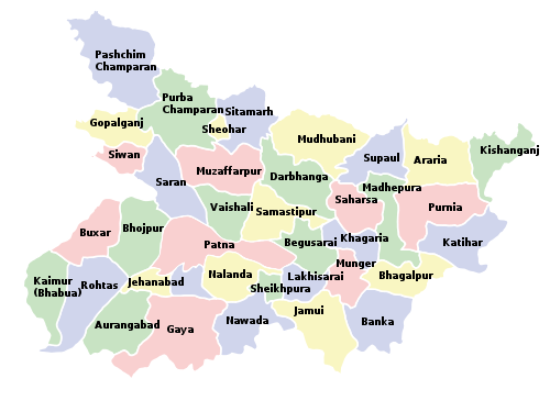 Districts of Bihar
Summary
Code District Headquarters Population (2001) Area (km²) Density (/km²) Map AR Araria Araria 2,124,831 2,829 751 
AR Arwal Arwal 589,476 4,839 918 
AU Aurangabad Aurangabad 2,004,960 3,303 607 
BA Banka Banka 1,608,778 3,018 533 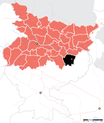
BE Begusarai Begusarai 2,342,989 1,917 1,222 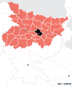
BG Bhagalpur Bhagalpur 2,430,331 2,569 946 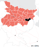
BJ Bhojpur Arrah 2,233,415 2,473 903 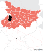
BU Buxar Buxar 1,403,462 1,624 864 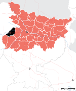
DA Darbhanga Darbhanga 3,285,473 2,278 1,442 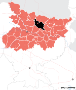
EC East Champaran Motihari 3,933,636 3,969 991 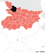
GA Gaya Gaya 3,464,983 4,978 696 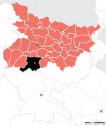
GO Gopalganj Gopalganj 2,149,343 2,033 1,057 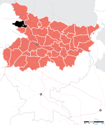
JA Jamui Jamui 1,397,474 3,099 451 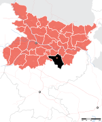
JE Jehanabad Jehanabad 1,511,406 1,569 963 KH Khagaria Khagaria 1,276,677 1,486 859 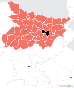
KI Kishanganj Kishanganj 1,294,063 1,884 687 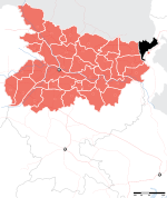
KM Kaimur Bhabua 1,284,575 3,363 382 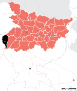
KT Katihar Katihar 2,389,533 3,056 782 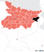
LA Lakhisarai Lakhisarai 801,173 1,229 652 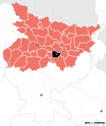
MB Madhubani Madhubani 3,570,651 3,501 1,020 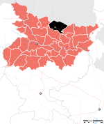
MG Munger Munger 1,135,499 1,419 800 
MP Madhepura Madhepura 1,524,596 1,787 853 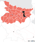
MZ Muzaffarpur Muzaffarpur 3,743,836 3,173 1,180 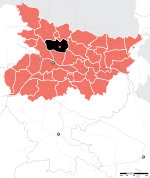
NL Nalanda Bihar Sharif 2,368,327 2,354 1,006 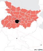
NW Nawada Nawada 1,809,425 2,492 726 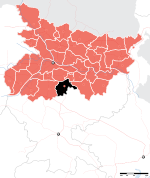
PA Patna Patna 4,709,851 3,202 1,471 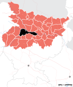
PU Purnia Purnia 2,540,788 3,228 787 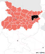
RO Rohtas Sasaram 2,448,762 3,850 636 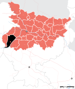
SH Saharsa Saharsa 1,506,418 1,702 885 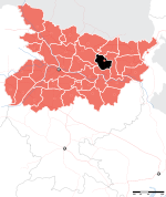
SM Samastipur Samastipur 3,413,413 2,905 1,175 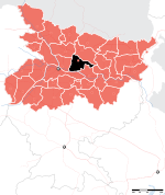
SO Sheohar Sheohar 514,288 443 1,161 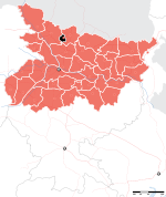
SP Sheikhpura Sheikhpura 525,137 689 762 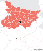
SR Saran Chhapra 3,251,474 2,641 1,231 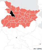
ST Sitamarhi Sitamarhi 2,669,887 2,199 1,214 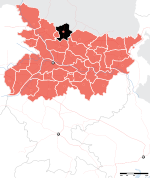
SU Supaul Supaul 1,745,069 2,410 724 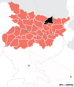
SW Siwan Siwan 2,708,840 2,219 1,221 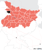
VA Vaishali Hajipur 2,712,389 2,036 1,332 
WC West Champaran Bettiah 3,043,044 5,229 582 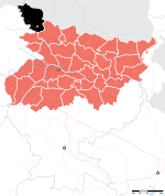
External links
- http://districts.nic.in/disdetails.aspx?str_state=Ymg=
- Bihar Districts Information Portal
- http://www.biharspider.com/resources/2437-Districts-Bihar-Names.aspx
Divisions and districts of Bihar, India Bhagalpur: Darbhanga: Kosi: Magadh: Munger: Patna: Purnia: Saran: Tirhut: Districts of States of India States Andhra Pradesh · Arunachal Pradesh · Assam · Bihar · Chhattisgarh · Goa · Gujarat · Haryana · Himachal Pradesh · Jammu and Kashmir · Jharkhand · Karnataka · Kerala · Madhya Pradesh · Maharashtra · Manipur · Meghalaya · Mizoram · Nagaland · Orissa · Punjab · Rajasthan · Sikkim · Tamil Nadu · Tripura · Uttar Pradesh · Uttarakhand · West Bengal
Union Territories Andaman and Nicobar Islands · Chandigarh · Dadra and Nagar Haveli · National Capital Territory of Delhi · Daman and Diu · Lakshadweep · PuducherryRelated topics List of states and territories of India · District collector · Sub-Divisional Magistrate · Community Development Block · Block Development Officer · Gram panchayatCategories:- Districts of Bihar
- Bihar-related lists


Wikimedia Foundation. 2010.