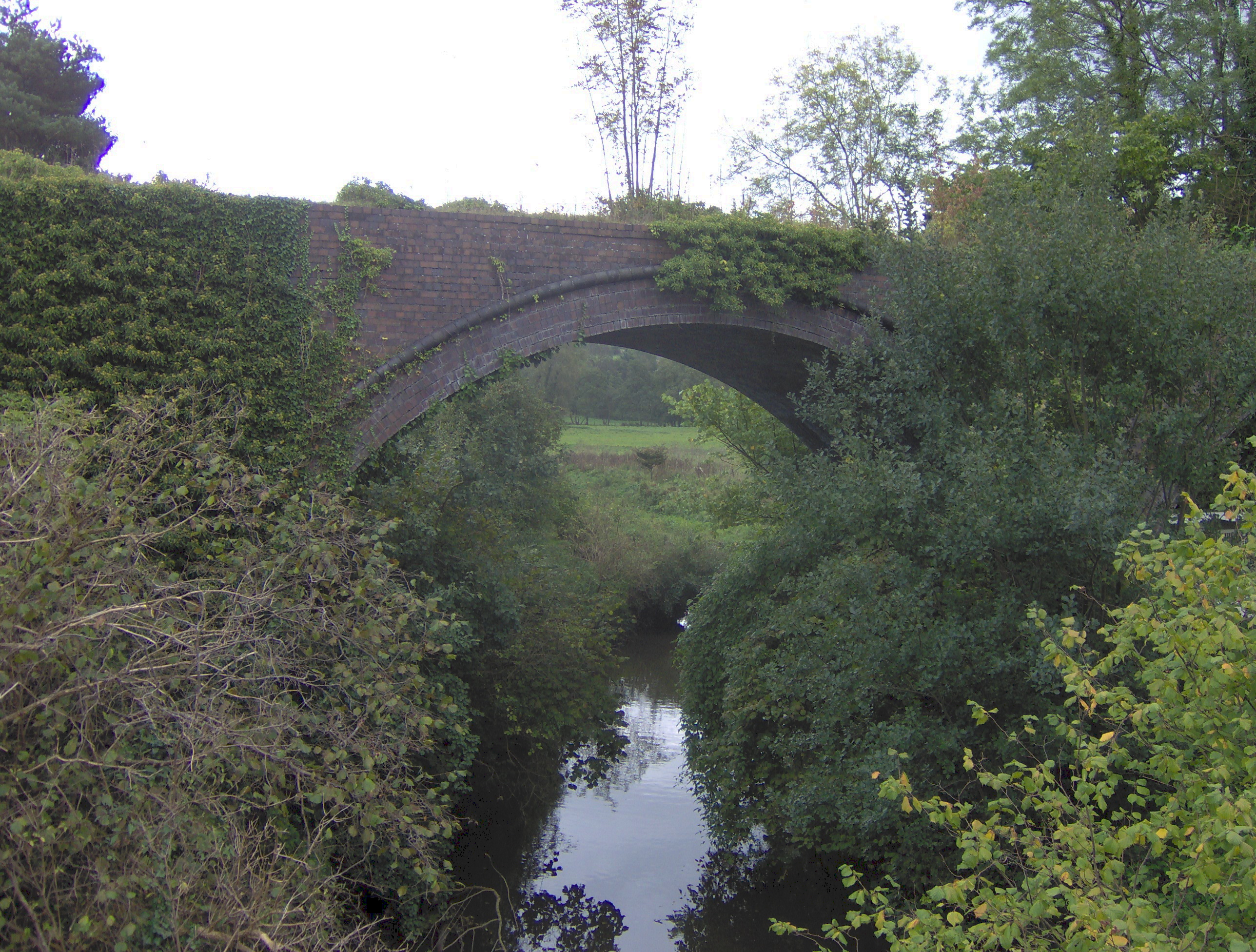
Midford Brook

Midford Brook
Midford Brook
River
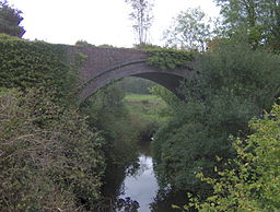
Aqudeuct of the Somerset Coal Canal over Midford Brook at Midford
Country England
County Somerset
District Bath and North East Somerset
Source Wellow Brook & Cam Brook
 - location Midford, Bath and North East Somerset, Somerset, England
 - coordinates 51°20′27″N 2°20′32″W / 51.34083°N 2.34222°W / 51.34083; -2.34222
Mouth River Avon
 - location Dundas Aqueduct
 - coordinates 51°21′40″N 02°18′36″W / 51.36111°N 2.31°W / 51.36111; -2.31

Midford Brook is a small river in Somerset, England.

It is formed by convergence of the Wellow Brook and Cam Brook at Midford before passing Tucking Mill and joining the River Avon close to the Dundas Aqueduct and the remains of the Somerset Coal Canal.[1]

It has a catchment area of 147.4 km2 which is largely over impermeable Lias. The deep steep sided valleys means that it responds rapidly to rainfall.[2]

References

  1. ^ "KandAC mile 70". Kennet and Avon Scrapbook 2000. University of Portsmouth. http://www.envf.port.ac.uk/kacanal/html/KAC0191.HTM. Retrieved 2009-09-12. 
  2. ^ "53005 - Midford Brook at Midford". Station summaries. The National River Flow Archive. http://www.nerc-wallingford.ac.uk/ih/nrfa/station_summaries/053/005.html. Retrieved 2009-09-12. 


Wikimedia Foundation. 2010.

Игры ⚽ Нужна курсовая?

Look at other dictionaries:

  • Midford — Coordinates: 51°20′42″N 2°20′43″W / 51.3451°N 2.3454°W / 51.3451; 2.3454 …   Wikipedia

  • Midford Valley Woods — (grid reference ST769611) is a 24.6 hectare biological Site of Special Scientific Interest in Wiltshire, notified in 1975. Source English Nature citation sheet for the site (accessed 14 August 2006) External links …   Wikipedia

  • Cam Brook, Somerset — Geobox River name = Cam Brook native name = other name = other name1 = image size = image caption = Weir on Cam Brook at Combe Hay etymology = country = England country1 = state = Somerset state1 = region = region1 = district = Bath and North… …   Wikipedia

  • Wellow Brook, Somerset — Geobox River name = Wellow Brook native name = other name = other name1 = image size = image caption = Medieval Packhorse bridge at Wellow, Somerset etymology = country = England country1 = state = Somerset state type = County state1 = region =… …   Wikipedia

  • Somerset Coal Canal — The Somerset Coal Canal (originally known as the Somersetshire Coal Canal) was a narrow canal in England, built around 1800 from basins at Paulton and Timsbury via Camerton, an aqueduct at Dunkerton, Combe Hay, Midford and Monkton Combe to… …   Wikipedia

  • Midsomer Norton — Coordinates: 51°17′03″N 2°28′54″W / 51.2842°N 2.4817°W / 51.2842; 2.4817 …   Wikipedia

  • Somerset — This article is about the county of Somerset in England. For other uses, see Somerset (disambiguation). Somerset Motto of County Council: Sumorsǣte ealle ( All The People of Somerset ) …   Wikipedia

  • River Somer — Geobox River name = River Somer native name = other name = other name1 = image size = image caption = River Somer at Midsomer Norton etymology = country = England country1 = state = Somerset state type = County state1 = region = region1 =… …   Wikipedia

  • Limestone Link — Infobox Hiking trail Name=Limestone Link Photo=Limestonelink.jpg Caption=Footpath sign for the Limestone Link Location=South West England Designation= Length=convert|36|mi|km|0|lk=on Start/End Points=Mendip Hills/Cotswolds Use=Hiking ElevChange=… …   Wikipedia

  • Liste des cours d'eau d'Angleterre — Cet article présente une liste des cours d eau d Angleterre, classés par position géographique dans le sens inverse des aiguilles d une montre. Ils passent par l Angleterre et se jettent dans les mers qui bordent le pays. Pour l Esk, la Tweed, la …   Wikipédia en Français

Share the article and excerpts

Direct link
Do a right-click on the link above
and select “Copy Link”