- River Isle
Geobox River
name = River Isle
native_name =
other_name =
other_name1 =
image_size =
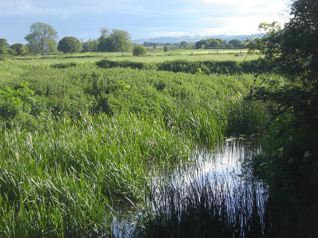
image_caption = River Isle atIsle Brewers
etymology =
country = England
country1 =
state = Somerset
state_type = County
state1 =
region = Somerset Levels
region1 =
district =
district1 =
city = Isle Brewers
city1 = Ilminster
landmark =
landmark1 =
length_imperial =
watershed_imperial =
discharge_location =
discharge_imperial =
discharge_max_imperial =
discharge_min_imperial =
discharge1_location =
discharge1_imperial =
source_name =
source_location = Donyatt
source_district =
source_region =
source_state = Somerset
source_country = England
source_lat_d = 50
source_lat_m = 55
source_lat_s = 10
source_lat_NS = N
source_long_d = 2
source_long_m = 56
source_long_s = 23
source_long_EW = W
source_elevation_imperial =
source_length_imperial =
mouth_name = River Parrett
mouth_location =
mouth_district =
mouth_region =
mouth_state = Somerset
mouth_country = England
mouth_lat_d = 51
mouth_lat_m = 00
mouth_lat_s = 32
mouth_lat_NS = N
mouth_long_d = 2
mouth_long_m = 49
mouth_long_s = 55
mouth_long_EW = W
mouth_elevation_imperial =
tributary_left =
tributary_left1 =
tributary_right =
tributary_right1 =
free_name =
free_value =
map_size =
map_caption =The River Isle flows from its source near
Ilminster throughSomerset into theRiver Parrett south ofLangport nearMidelney .
Wikimedia Foundation. 2010.