- River Barle
Geobox River
name = River Barle
native_name =
other_name =
other_name1 =

image_size =
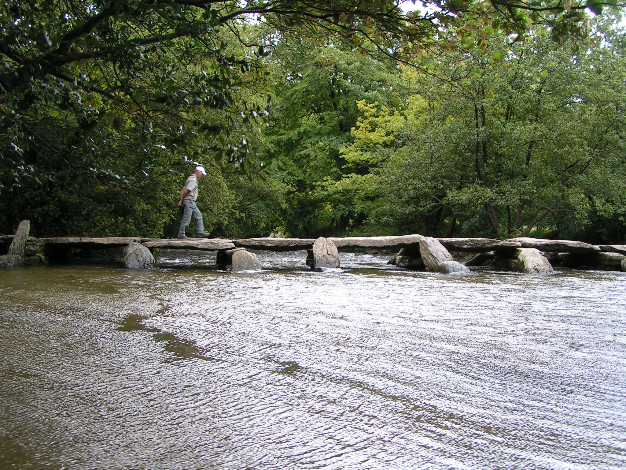
image_caption =Tarr Steps viewed downstream
country = England
region = Devon
region1 = Somerset
city = Withypool
city1 = Simonsbath
region_type = Counties
landmark = Tarr Steps
landmark1 =
length_imperial = 7
watershed_imperial =
discharge_location =
discharge_imperial =
discharge_max_imperial =
discharge_min_imperial =
discharge1_location =
discharge1_imperial
source_name =
source_location = NearSimonsbath
source_district = Exmoor
source_region =
source_state = Somerset
state_type = County
source_country =
source_lat_d = 51
source_lat_m = 08
source_lat_s = 30
source_lat_NS = N
source_long_d = 3
source_long_m = 48
source_long_s = 38
source_long_EW = W
source_elevation = 400
source_length =
mouth_name = River Exe
mouth_location = Exebridge
mouth_region = Devon
mouth_lat_d = 51
mouth_lat_m = 00
mouth_lat_s = 37
mouth_lat_NS = N
mouth_long_d = 3
mouth_long_m = 31
mouth_long_s = 55
mouth_long_EW = W
mouth_elevation =
tributary_left = Little River
tributary_left1 =
tributary_right = Sherdon Water
tributary_right1 =
free_name =
free_value =
map_size =
map_caption =The River Barle runs from northern
Exmoor , inSomerset ,England to join theRiver Exe atExebridge ,Devon . The river and theBarle Valley are both designated asbiological Site of Special Scientific Interest .Recreation
Angling
Salmon andTrout are regularly fished from the Barle.For much of the it's route the rivers banks are the path of the
Two Moors Way footpath.Kayaking and Canoeing
The upper reaches of the Barle produced favourable
rapids which appeal to whitewater kayakers. The rapids are Graded at 2 (3-) which beginner to intermediatekayakers andcanoeists paddle.ee also
*
Rivers of the United Kingdom External links
* http://www.ukriversguidebook.co.uk/barle.htm
* http://www.markhorrell.com/travel/britain/exmoor/ind_tarr.html
Wikimedia Foundation. 2010.
