- Much Hoole
-
Coordinates: 53°41′47″N 2°48′24″W / 53.6964°N 2.8067°W
Much Hoole 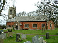
Hoole Parish Church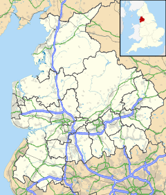
 Much Hoole
Much Hoole shown within LancashirePopulation 1,851 [1] OS grid reference SD446225 Parish Much Hoole District South Ribble Shire county Lancashire Region North West Country England Sovereign state United Kingdom Post town PRESTON Postcode district PR Dialling code 01772 Police Lancashire Fire Lancashire Ambulance North West EU Parliament North West England UK Parliament South Ribble List of places: UK • England • Lancashire Much Hoole is a village and civil parish in the borough of South Ribble, Lancashire, England. The parish of Much Hoole had a population of 1,851 at the time of the 2001 census.
Contents
History
Hoole derives from the Old English hulu, a shed or hovel. It was recorded as Hull in 1204, Hole in 1212 and Hoole in 1508. Magna Hole was recorded in 1235, Much Hole in 1260[2] and Grett Wholle in 1551.[3]
At Much Hoole there are the remains of a medieval settlement and moat adjacent to Town Lane. Hoole gave its name to a family in reign of King John. Much Hoole was held by the Montebegons and many different families including those of Sir Thomas Hesketh and George Anthony Legh Keck.
Governance
The township was separated from Croston in 1642, and made into a parish. Hoole was a parish in the Leyland hundred of Lancashire.[4] It became part of the Preston Poor Law Union, formed in 1837, which took responsibility for the administration and funding of the Poor Law and built a workhouse in that area.[5]
Religion
A chapel is mentioned in a grant of about 1280 by Amery de Hoole but it is not known what happened to it.[3] St Michael's church was built of brick in 1628 and a stone tower was added when it was rebuilt in 1720.[4] The church was funded by the Stone family who lived at Carr House. Jeremiah Horrocks was a curate at St Michael's and predicted the transit of Venus in 1639. He is commemorated by windows in the church.[6]
Geography
Much Hoole lies eight miles south west of Preston on the road from Preston to Ormskirk and Liverpool, the A59 and covers 1701 acres of flat low lying land. The soil is loam, peat moss and marsh.[4][7] To the west of the village is the River Douglas which leads to the Ribble Estuary. The River Douglas forms Much Hoole's western, and the Carr brook, its southern boundaries. The highest land reaches 70 feet above sea level in the east of the township along its boundary with Leyland. The Preston to Southport line built by the Lancashire and Yorkshire Railway crosses the north-west corner.[3]

Ribble Estuary Longton Walmer Bridge River Douglas, Hesketh Bank 
Midge Hall  Much Hoole

Tarleton Bretherton Ulnes Walton Population
Population growth in Much Hoole from 1881–1961 Year 1881 1891 1901 1911 1921 1931 1951 1961 Population 581 567 624 627 613 621 716 745 Much Hoole CP/Tn[8]
Transport
The A59 (Liverpool Road) runs through part of Much Hoole but mainly by-passes the village to the west. The village has regular bus services linking it with Preston, Southport and other local villages. Main roads in the village include the formor main road, Liverpool Old Road, which sweeps throughout the centre of the village and Town Lane, which merges into Smithy Lane.
Much Hoole and Little Hoole were served by Hoole railway station on the West Lancashire Railway until the line closed in 1964.
In December 2005, plans for a 'microlight farm airstrip' between Bretherton and Much Hoole were rejected by Chorley and South Ribble councillors due to the fear of sound pollution and damage to the surrounding environment.
Local Facilities
There are two public houses, the Smithy Inn and the Fox Cub. The Rose and Crown, once owned by Albert Pierrepoint the Chief Executioner[9] and the Black Horse pub have been converted to restaurants.
The village primary school is Hoole St. Michael's. There is a village hall, a park, tennis courts, and a bowling green. The village has a shop, car wash and car repairers. In 2006 the Little Chef was converted into an ice cream parlour and tapas bar. Nearby property has been redeveloped into a small shopping and business park. There are new housing developments in the village.
Gallery
-
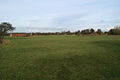
Fields around Much Hoole
-
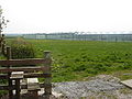
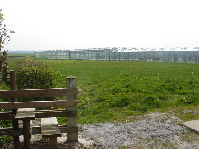
Public footpath near acres of greenhouses
-

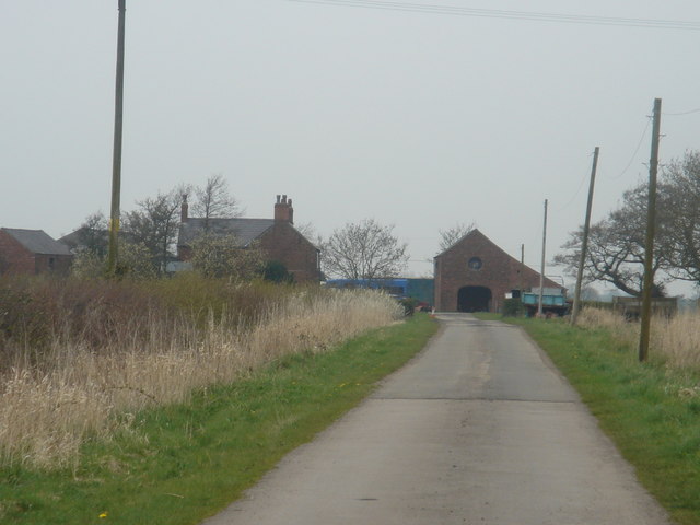
Long Fold Farm, Much Hoole
-
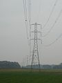
Pylons from Much Hoole to Bretherton
References
- ^ "2001 Census: Key Statistics: Parish Headcounts: Area: Much Hoole CP (Parish)". Office for National Statistics. http://neighbourhood.statistics.gov.uk/dissemination/LeadTableView.do?a=7&b=795826&c=Much+Hoole&d=16&e=15&g=464117&i=1001x1003x1004&m=0&r=1&s=1219710245574&enc=1&dsFamilyId=779. Retrieved 2008-08-26.
- ^ Mills 1976, p. 97
- ^ a b c Farrer, William; Brownbill, J, eds. (1911), "Townships:Much Hoole", A History of the County of Lancaster: Volume 6 (British History Online): pp. 149–153, http://www.british-history.ac.uk/report.aspx?compid=53087, retrieved 2011–10–01
- ^ a b c Lewis, Samuel (1848), "Hoole(Holy Trinity)", A Topographical Dictionary of England (British History Online): pp. 542–545, http://www.british-history.ac.uk/report.aspx?compid=51042#s10, retrieved 2010-06-04
- ^ Workhouse, Workhouses.org, http://www.workhouses.org.uk/Preston/, retrieved 2011-10-01
- ^ http://www.lancashirechurches.co.uk/muchhoole.htm
- ^ Much Hoole Township Boundaries, GenUKI, http://www.genuki.org.uk/big/eng/LAN/MuchHoole/ParishMap.shtml, retrieved 2010-12-01
- ^ Much Hoole Ch/CP : Total Population, Vision of Britain, http://www.visionofbritain.org.uk/data_cube_page.jsp?data_theme=T_POP&data_cube=N_TOT_POP&u_id=10355930&c_id=10001043&add=N, retrieved 2010-12-01
- ^ "Albert Pierrepoint, 87, Hangman In Hundreds of British Executions". The New York Times. 1992-07-13. http://query.nytimes.com/gst/fullpage.html?res=9E0CE3D81231F930A25754C0A964958260. Retrieved 2008-08-26.
- Bibliography
- Mills, David (1976), The Placenames of Lancashire, Batsford, ISBN 0 7134 5236 6
External links
- Community website for Much Hoole, Little Hoole and Walmer Bridge
- Photo Much Hoole Church from transitofvenus.org
- Hoole Village Survey
Ceremonial county of Lancashire North West England Portal Unitary authorities Boroughs or districts Major settlements Accrington • Adlington • Bacup • Barnoldswick • Blackburn • Blackpool • Brierfield • Burnley • Burscough • Carnforth • Chorley • Clayton-le-Moors • Cleveleys • Clitheroe • Colne • Darwen • Earby • Fleetwood • Garstang • Great Harwood • Haslingden • Kirkham • Lancaster • Leyland • Longridge • Lytham St Annes • Morecambe • Nelson • Ormskirk • Oswaldtwistle • Padiham • Penwortham • Poulton-le-Fylde • Preesall • Preston • Rawtenstall • Rishton • Skelmersdale • Wesham • Whitworth
See also: List of civil parishes in LancashireRivers Canals Topics Categories:- Villages in Lancashire
- Geography of South Ribble
- Civil parishes in Lancashire
-


Wikimedia Foundation. 2010.