- Lea, Lancashire
-
Coordinates: 53°46′16″N 2°48′11″W / 53.771°N 2.803°W
Lea 
Navigation weir on Savick Brook
 Lea
Lea
Lea shown within LancashirePopulation 5,962 (2001) OS grid reference SD4930 Parish Lea District Preston Shire county Lancashire Region North West Country England Sovereign state United Kingdom Post town PRESTON Postcode district PR2, PR4 Dialling code 01772 Police Lancashire Fire Lancashire Ambulance North West EU Parliament North West England UK Parliament Fylde List of places: UK • England • Lancashire  Lea(unparished area)
PrestonCivil parishes in the City of Preston
Lea (pronounced /ˈliː.ə/ lee-ə) and Cottam are villages in the City of Preston, Lancashire, England. Together they form the civil parish of Lea, which has a population of 5,962.[1]
Contents
Geography
The area is an electoral ward with Preston, represented by three councillors; the area is part of Fylde constituency.
Council
Lea and Cottam form part of the Preston West division of Lancashire County Council, represented by one councillor.
Community
The area is represented by Lea and Cottam Parish Council. Cottam is a former farming community now almost entirely consisting of new build housing.
Lea is also the name given to two areas of the western extremities of Preston; Lea Town (a village, despite its name) on the Fylde border, and the suburban sprawl of Lea along the Blackpool Road through the city.
Demography
From the last census, in 2001, over 83% of the population regarded themselves as Christian, whilst the figure of 11.5% for retired people is one of the highest in the city.
Religion
There are several churches in Lea including Lea Methodist and St. Christopher's. St. Christopher's is home to 2nd Lea Scout Group.
Industry
The area was served by Lea Road railway station between 1840 and 1938.
Gallery
-
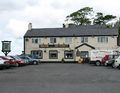
The Saddle
-

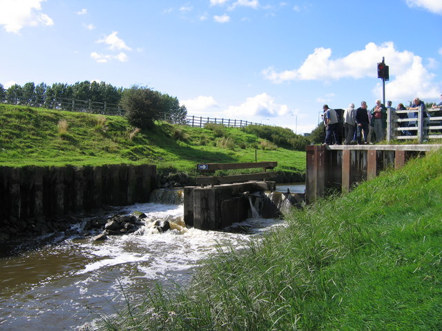
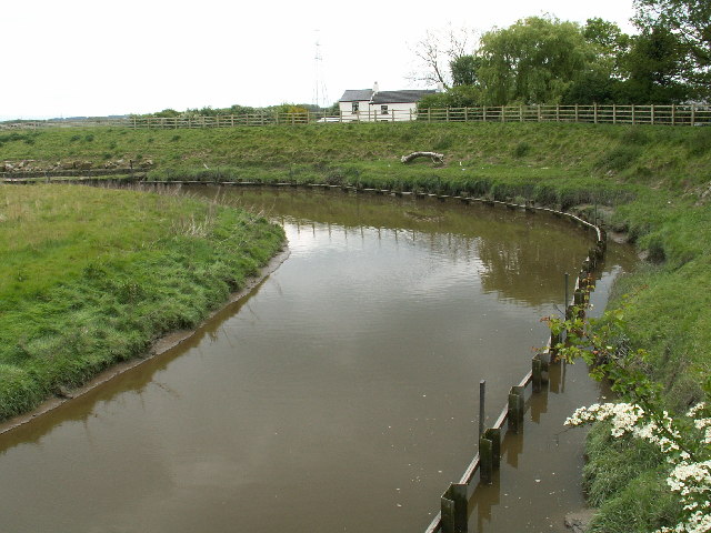
Savick Brook
-

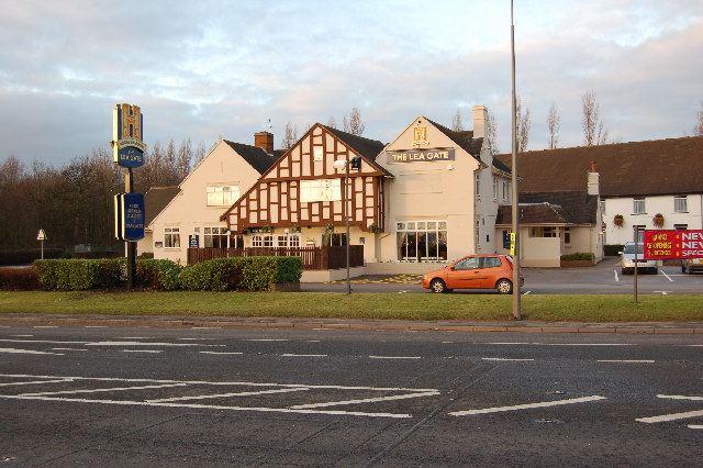
The Lea Gate
References
- ^ Office for National Statistics : Census 2001 : Parish Headcounts : Preston Retrieved 27 July 2010
Ceremonial county of Lancashire North West England Portal Unitary authorities Boroughs or districts Major settlements Accrington • Adlington • Bacup • Barnoldswick • Blackburn • Blackpool • Brierfield • Burnley • Burscough • Carnforth • Chorley • Clayton-le-Moors • Cleveleys • Clitheroe • Colne • Darwen • Earby • Fleetwood • Garstang • Great Harwood • Haslingden • Kirkham • Lancaster • Leyland • Longridge • Lytham St Annes • Morecambe • Nelson • Ormskirk • Oswaldtwistle • Padiham • Penwortham • Poulton-le-Fylde • Preesall • Preston • Rawtenstall • Rishton • Skelmersdale • Wesham • Whitworth
See also: List of civil parishes in LancashireRivers Canals Topics Categories:- Geography of Preston
- Civil parishes in Lancashire
- Wards of Preston
-


Wikimedia Foundation. 2010.