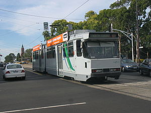
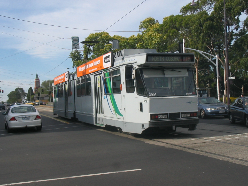
- Melbourne tram route 19
-
City - North Coburg 
Route Information Route Number 19 Number of stops 40 Timetables Link Route Map Link Zone Location Zone 1 Elizabeth St (Flinders St) - Sydney Rd (Bakers Rd) Zone 1 & 2 {{{1&2}}} Tram route 19 is a public transport service in Melbourne, Victoria, Australia. It runs from Flinders Street in the city centre to North Coburg in the northern suburbs. It runs through the suburbs of Melbourne, Parkville, Brunswick, Coburg, and Coburg North. Like most tram routes in Melbourne, it is entirely within Metcard ticketing Zone 1.
As this tram route is one of the most patronised in Melbourne, the VicRoads Think>Tram initiative was instated along this route to help increase ontime running. Yellow dividers are now bolted along Royal Parade forming a tram lane on road space which was previously shared by cars. Further Think Tram initiatives included signage improvements along the route and right-turn bans and turn priorities along Sydney Road. The route is operated by B2 class trams.
This route is especially busy during University semester times, serving the western side of Melbourne University and the Parkville (Pharmacy) campus of Monash University, while the route also passes through one of the most diverse areas in Melbourne, with Lebanese, Greek, Italian and some Asian restaurants and shops along Sydney Road.
An extension to Fawkner was first planned by the The Melbourne, Brunswick and Coburg Tramways Trust in 1916, but never came to fruition.[1] This extension has been brought up since, most recently by the Victorian Greens during the 2010 state election.[2]
Contents
Route
There are 40 stops on route 19.
Starts at intersection of Flinders and Elizabeth Streets, opposite Flinders Street Station (stop 1 - interchange), then runs via:
- Elizabeth Street (stops 1 - 9)
- Collins Street, tram routes 11, 12, 42, 48, 109, and 112 (stop 2)
- Bourke Street, GPO, tram routes 86, 95, and 96 (stop 3)
- Lonsdale Street, St Francis' Church (stop 4)
- La Trobe Street, Melbourne Central shopping centre and railway station, tram routes 24, 30, 34, and City Circle (stop 5)
- Victoria Street, Queen Victoria Market, tram route 57 (stop 7 - platform stop)
- Royal Parade (stops 9 - 19)
- Haymarket Roundabout (Peel Street), tram routes 55 and 59 (stop 9)
- Royal Melbourne Hospital (stop 10)
- University of Melbourne (stop 11)
- Melbourne Zoo, Monash University Parkville Campus and Princes Park (stop 16)
- Sydney Road (stops 20-40)
- Weston Street, Jewell station (stop 20)
- Brunswick Town Hall (stop 21)
- Albert Street, Brunswick station (stop 22)
- Albion Street, Anstey station (stop 26)
- Moreland Road, Moreland station, tram route 8 (stop 28)
- Carr Street, Batman station (stop 38)
Ends at Sydney Road, North Coburg (stop 40 - platform stop).
Maps and timetables
- Official timetables
- Official route map
- Official tram network map
- Melbourne tram and train network map from railmaps.com.au
References
- ^ "The Melbourne, Brunswick and Coburg Tramways Trust", TMSV Running Journal, http://www.tramway.org.au/reflections.php?p=the_melbourne_brunswick_and_coburg_tramways_trust, retrieved 2011-11-03
- ^ "Election 2010 scorecard", Public Transport Users Association, http://www.ptua.org.au/election2010/, retrieved 2011-11-03
See also
- Trams in Melbourne
- Transportation in Australia
Trams in Melbourne - Yarra Trams Routes Current Tram Fleet W • Z • A • B • C • C2 • DOperator KDR Melbourne (Yarra Trams)Former operators Prahran and Malvern • Hawthorn • Melbourne, Brunswick and Coburg • Fitzroy, Northcote and Preston • Footscray • Northcote Municipality • North Melbourne Electric Tramway and Lighting Company • Melbourne and Metropolitan Tramways Board • Victorian Railways • M>Tram • Transdev TSLTourist services Tram depots Brunswick • Camberwell • East Preston • Essendon • Glenhuntly • Hawthorn • Kew • Malvern • North Fitzroy • Preston Workshops • Newport Workshops • Southbank • South MelbourneMiscellaneous Categories:- Tram routes in Melbourne
- Elizabeth Street (stops 1 - 9)
Wikimedia Foundation. 2010.