- National Register of Historic Places listings in Staunton, Virginia
-
This list includes properties and districts listed on the National Register of Historic Places in Staunton, Virginia, an independent city within the confines of Augusta County. Click the "Map of all coordinates" link to the right to view a Google map of all properties and districts with latitude and longitude coordinates in the table below.[1]
-
- This National Park Service list is complete through NPS recent listings posted November 10, 2011.[2]
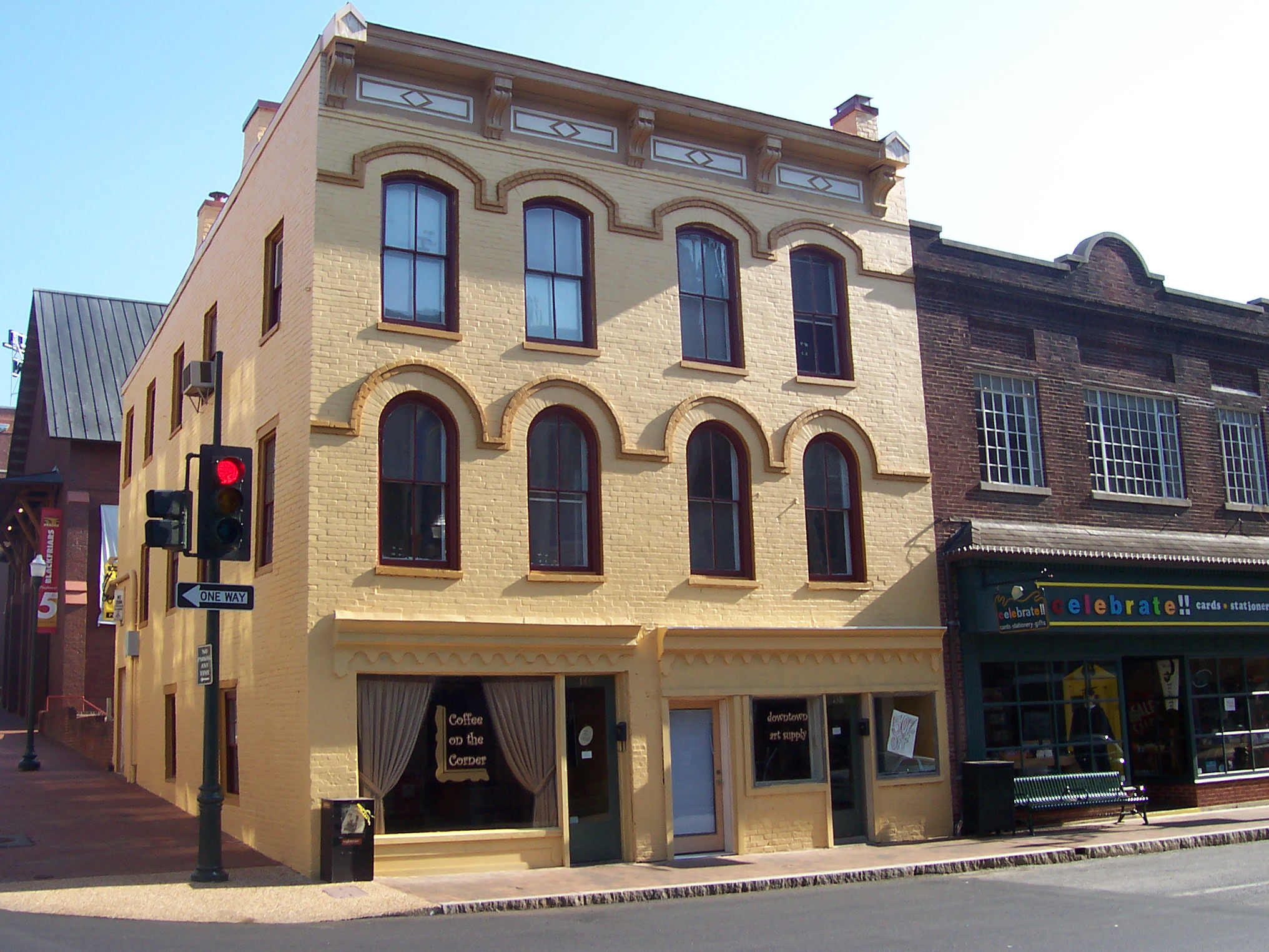
[3] Landmark name[4] Image Date listed Location City or Town Summary 1 Augusta County Courthouse October 26, 1982 1 E. Johnson St.
38°8′55″N 79°4′21″W / 38.14861°N 79.0725°WStaunton 2 Beverley Historic District 
July 14, 1982 U.S. 250 and VA 254
38°8′57″N 79°4′22″W / 38.14917°N 79.07278°WStaunton 3 Breezy Hill July 8, 1982 1220 N. Augusta St.
38°9′36″N 79°4′12″W / 38.16°N 79.07°WStaunton 4 Catlett House July 15, 1982 303 Berkeley Pl.
38°9′2″N 79°4′7″W / 38.15056°N 79.06861°WStaunton 5 Cobble Hill Farm February 25, 2004 101 Woodlee Rd.
38°10′31″N 79°4′4″W / 38.17528°N 79.06778°WStaunton 6 Gospel Hill Historic District February 14, 1985 Roughly bounded by E. Beverly, N. Market, E. Frederick and Kalorama Sts.
38°9′6″N 79°4′1″W / 38.15167°N 79.06694°WStaunton 7 Hilltop June 19, 1979 Mary Baldwin College campus
38°9′6″N 79°4′17″W / 38.15167°N 79.07139°WStaunton 8 Arista Hoge House July 15, 1982 215 Kalorama St.
38°8′54″N 79°4′13″W / 38.14833°N 79.07028°WStaunton 9 Kable House June 19, 1979 310 Prospect St.
38°9′14″N 79°4′9″W / 38.15389°N 79.06917°WStaunton 10 Mary Baldwin College, Main Building July 26, 1973 Mary Baldwin College campus
38°9′4″N 79°4′18″W / 38.15111°N 79.07167°WStaunton 11 J. C. M. Merrillat House September 16, 1982 521 E. Beverley St.
38°9′7″N 79°3′57″W / 38.15194°N 79.06583°WStaunton 12 Thomas J. Michie House September 9, 1982 324 E. Beverley St.
38°8′58″N 79°4′4″W / 38.14944°N 79.06778°WStaunton 13 C. W. Miller House June 19, 1979 210 N. New St.
38°9′7″N 79°4′21″W / 38.15194°N 79.0725°WStaunton 14 National Valley Bank June 19, 1979 12-14 W. Beverly St.
38°8′57″N 79°4′24″W / 38.14917°N 79.07333°WStaunton 15 Newtown Historic District September 8, 1983 Roughly bounded by Lewis St. and S. Jefferson Sts., C&O RR, Allegheny and Churchville Aves., incl. Thornrose cemetery
38°9′3″N 79°4′46″W / 38.15083°N 79.07944°WStaunton 16 Oakdene November 24, 1982 605 E. Beverley St.
38°9′7″N 79°3′54″W / 38.15194°N 79.065°WStaunton 17 The Oaks June 19, 1979 437 E. Beverly St.
38°9′5″N 79°3′57″W / 38.15139°N 79.06583°WStaunton 18 Old Main August 13, 1974 235 W. Frederick St.
38°9′1″N 79°4′36″W / 38.15028°N 79.07667°WStaunton 19 Robert E. Lee High School March 10, 2009 274 Churchville Ave.
38°9′26.86″N 79°4′37.21″W / 38.1574611°N 79.0770028°WStaunton 20 Rose Terrace June 19, 1979 150 N. Market St.
38°9′8″N 79°4′17″W / 38.15222°N 79.07139°WStaunton 21 Sears House February 23, 1972 Sears Hill Rd. in Woodrow Wilson City Park
38°8′45″N 79°4′20″W / 38.14583°N 79.07222°WStaunton 22 Staunton National Cemetery February 26, 1996 901 Richmond Ave.
38°8′25″N 79°3′0″W / 38.14028°N 79.05°WStaunton 23 Steephill February 23, 1984 200 Park Blvd.
38°9′22″N 79°5′15″W / 38.15611°N 79.0875°WStaunton 24 Stuart Addition Historic District May 3, 1984 Roughly bounded by Augusta, Sunnyside, Market, and New Sts.
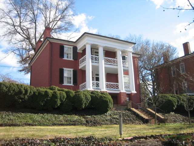
38°9′12″N 79°4′11″W / 38.15333°N 79.06972°WStaunton 25 Stuart House 
May 5, 1972 120 Church St.
38°8′50″N 79°4′33″W / 38.14722°N 79.07583°WStaunton 26 Trinity Episcopal Church May 5, 1972 Beverley and Lewis Sts.
38°8′55″N 79°4′31″W / 38.14861°N 79.07528°WStaunton 27 Virginia School for the Deaf and the Blind November 12, 1969 E. Beverly St. and Pleasant Ter.
38°9′13″N 79°3′19″W / 38.15361°N 79.05528°WStaunton 28 Waverly Hill July 8, 1982 3001 N. Augusta St.
38°10′11″N 79°2′38″W / 38.16972°N 79.04389°WStaunton 29 Western State Hospital Complex November 25, 1969 Jct. of U.S. 11 and U.S. 250
38°8′43″N 79°4′5″W / 38.14528°N 79.06806°WStaunton Boundary increase I (listed February 21, 2007): 301 Greenville Ave., SE Corner of VA 11 and VA 250
Boundary increase II (listed July 24, 2007): 301 Greenville Ave., adjacent to NE corner of VA 11 and VA 250
Boundary increase III (listed March 23, 2010): 301 Greenville Ave.30 Wharf Area Historic District November 9, 1972 Middlebrook Ave. between S. New and S. Lewis Sts., including S. Augusta St. to Johnson St.
38°8′50″N 79°4′22″W / 38.14722°N 79.07278°WStaunton Boundary increase (listed July 19, 1982): Boundary extended on E to Lewis Creek 31 Woodrow Wilson Birthplace 
October 15, 1966 N. Coalter St. between Beverly and Frederick Sts.
38°9′1″N 79°4′9″W / 38.15028°N 79.06917°WStaunton See also
- National Register of Historic Places listings in Virginia
- National Register of Historic Places listings in Augusta County, Virginia
- List of National Historic Landmarks in Virginia
References
- ^ The latitude and longitude information provided in this table was derived originally from the National Register Information System, which has been found to be fairly accurate for about 99% of listings. For about 1% of NRIS original coordinates, experience has shown that one or both coordinates are typos or otherwise extremely far off; some corrections may have been made. A more subtle problem causes many locations to be off by up to 150 yards, depending on location in the country: most NRIS coordinates were derived from tracing out latitude and longitudes off of USGS topographical quadrant maps created under the North American Datum of 1927, which differs from the current, highly accurate WGS84 GPS system used by Google maps. Chicago is about right, but NRIS longitudes in Washington are higher by about 4.5 seconds, and are lower by about 2.0 seconds in Maine. Latitudes differ by about 1.0 second in Florida. Some locations in this table may have been corrected to current GPS standards.
- ^ "National Register of Historic Places: Weekly List Actions". National Park Service, United States Department of the Interior. Retrieved on November 10, 2011.
- ^ Numbers represent an ordering by significant words. Various colorings, defined here, differentiate National Historic Landmark sites and National Register of Historic Places Districts from other NRHP buildings, structures, sites or objects.
- ^ "National Register Information System". National Register of Historic Places. National Park Service. 2008-04-24. http://nrhp.focus.nps.gov/natreg/docs/All_Data.html.
U.S. National Register of Historic Places Topics Lists by states Alabama • Alaska • Arizona • Arkansas • California • Colorado • Connecticut • Delaware • Florida • Georgia • Hawaii • Idaho • Illinois • Indiana • Iowa • Kansas • Kentucky • Louisiana • Maine • Maryland • Massachusetts • Michigan • Minnesota • Mississippi • Missouri • Montana • Nebraska • Nevada • New Hampshire • New Jersey • New Mexico • New York • North Carolina • North Dakota • Ohio • Oklahoma • Oregon • Pennsylvania • Rhode Island • South Carolina • South Dakota • Tennessee • Texas • Utah • Vermont • Virginia • Washington • West Virginia • Wisconsin • WyomingLists by territories Lists by associated states Other Categories:- Staunton, Virginia
- National Register of Historic Places in Virginia
- Virginia-related lists
-

Wikimedia Foundation. 2010.