- National Register of Historic Places listings in Halifax County, Virginia
-
This list includes properties and districts listed on the National Register of Historic Places in Halifax County, Virginia. Click the "Map of all coordinates" link to the right to view a Google map of all properties and districts with latitude and longitude coordinates in the table below.[1]
-
- This National Park Service list is complete through NPS recent listings posted November 10, 2011.[2]
[3] Landmark name [4] Image Date listed Location City or town Summary 1 Berry Hill 
November 25, 1969 S of jct. of Rtes. 659 and 682
36°41′55″N 78°56′39″W / 36.698611°N 78.944167°WSouth Boston 2 Black Walnut October 29, 1991 VA 600, 850 ft. S of jct. with VA 778
36°51′47″N 78°43′22″W / 36.863056°N 78.722778°WClover 3 Brandon Plantation April 26, 1996 VA 697, 500 ft. W of jct. with VA 696
36°34′45″N 79°07′16″W / 36.579167°N 79.121111°WAlton Also known as Upper Brandon Plantation 4 Brooklyn Store and Post Office January 22, 1996 VA 659 N side, 0.1 mi. W of jct. with VA 820
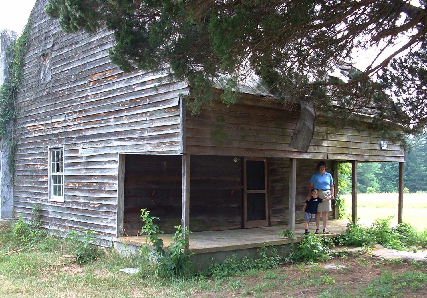
36°40′37″N 79°09′04″W / 36.676944°N 79.151111°WBrooklyn 5 Brooklyn Tobacco Factory January 22, 1996 VA 659 N side, 0.25 mi. E of jct. with VA 820
36°40′46″N 79°08′43″W / 36.679444°N 79.145278°WBrooklyn 6 Buckshoal Farm September 16, 1987 VA 737
36°38′33″N 78°46′15″W / 36.6425°N 78.770833°WOmega 7 Carlbrook May 26, 2000 VA 663, jct. VA 684
36°43′54″N 79°08′18″W / 36.731667°N 79.138333°WHalifax 8 Carter's Tavern October 11, 1974 SE of Ingram
36°40′30″N 79°08′04″W / 36.675°N 79.134444°WPaces 9 The Cove May 11, 2006 5059 Cove Rd.
36°58′58″N 78°44′51″W / 36.982778°N 78.7475°WHarrisburg 10 DeJarnette's Tavern 
May 2, 2007 4080 Stagecoach Rd.
37°00′47″N 79°00′22″W / 37.013056°N 79.006111°WNathalie Late 18th century stagecoach station & tavern. 11 E. L. Evans House May 8, 2008 1204 Washington Ave.
36°42′15″N 78°54′01″W / 36.704256°N 78.900233°WSouth Boston 12 Fourqurean House May 6, 1980 2.4 mi. SW of South Boston
36°39′21″N 78°56′27″W / 36.655833°N 78.940833°WSouth Boston 13 Glennmary February 1, 1979 SW of South Boston on U.S. 58
36°40′42″N 78°56′00″W / 36.678333°N 78.933333°WSouth Boston 14 Halifax County Courthouse September 16, 1982 Jct. US 360 and US 501
36°45′56″N 78°55′46″W / 36.765556°N 78.929444°WHalifax 15 Indian Jim's Cave August 26, 1982 Address Restricted Brookneal 16 Mountain Road Historic District October 6, 1983 Roughly Mountain Rd. from Mimosa Dr. to Academy St.
36°45′59″N 78°56′07″W / 36.766389°N 78.935278°WHalifax 17 Old Providence Presbyterian Church July 7, 1988 VA 624
36°56′15″N 78°49′11″W / 36.9375°N 78.819722°WProvidence 18 Pleasant Grove August 5, 1999 Deer Run Rd.
36°43′14″N 79°02′55″W / 36.720556°N 79.048611°WHalifax 19 Redfield September 20, 1978 3 mi. SE of Oak Level on VA 683
36°42′03″N 79°04′41″W / 36.700833°N 79.078056°WOak Level 20 Reedy Creek Site April 26, 1978 Address Restricted South Boston 21 Seaton May 19, 1980 N of South Boston on U.S. 501
36°44′41″N 78°55′24″W / 36.744722°N 78.923333°WSouth Boston 22 South Boston Historic District September 26, 1986 Along Railroad Ave., Ferry, Factory, and Main Sts., Wilborn Ave., N. Main St., Washington and Peach Aves., and Jeffress
36°41′57″N 78°54′10″W / 36.699167°N 78.902778°WSouth Boston Boundary increase (listed June 11, 2009): Neighborhoods of Marshall Ave., New Brick Warehouse, Mizpah Church, N. Main St. 23 Staunton River State Park Historic District May 4, 2007 1170 Staunton Trail
36°41′57″N 78°40′03″W / 36.699219°N 78.667628°WScottsburg 24 Tarover September 20, 1978 West of South Boston on VA 659
36°42′02″N 78°57′53″W / 36.700556°N 78.964722°WSouth Boston 25 Town of Halifax Court House Historic District January 28, 2011 Main St., Cemetery St., Prizery St., Edmunds Boulevard, Mary Bethune St., Cowford Rd., Maple Ave., Church St., Cary St.
36°45′58″N 78°55′43″W / 36.766111°N 78.928611°WHalifax See also
- National Register of Historic Places listings in Virginia
- List of National Historic Landmarks in Virginia
References
- ^ The latitude and longitude information provided in this table was derived originally from the National Register Information System, which has been found to be fairly accurate for about 99% of listings. For about 1% of NRIS original coordinates, experience has shown that one or both coordinates are typos or otherwise extremely far off; some corrections may have been made. A more subtle problem causes many locations to be off by up to 150 yards, depending on location in the country: most NRIS coordinates were derived from tracing out latitude and longitudes off of USGS topographical quadrant maps created under the North American Datum of 1927, which differs from the current, highly accurate WGS84 GPS system used by Google maps. Chicago is about right, but NRIS longitudes in Washington are higher by about 4.5 seconds, and are lower by about 2.0 seconds in Maine. Latitudes differ by about 1.0 second in Florida. Some locations in this table may have been corrected to current GPS standards.
- ^ "National Register of Historic Places: Weekly List Actions". National Park Service, United States Department of the Interior. Retrieved on November 10, 2011.
- ^ Numbers represent an ordering by significant words. Various colorings, defined here, differentiate National Historic Landmark sites and National Register of Historic Places Districts from other NRHP buildings, structures, sites or objects.
- ^ "National Register Information System". National Register of Historic Places. National Park Service. . http://nrhp.focus.nps.gov/natreg/docs/All_Data.html.
U.S. National Register of Historic Places Topics Lists by states Alabama • Alaska • Arizona • Arkansas • California • Colorado • Connecticut • Delaware • Florida • Georgia • Hawaii • Idaho • Illinois • Indiana • Iowa • Kansas • Kentucky • Louisiana • Maine • Maryland • Massachusetts • Michigan • Minnesota • Mississippi • Missouri • Montana • Nebraska • Nevada • New Hampshire • New Jersey • New Mexico • New York • North Carolina • North Dakota • Ohio • Oklahoma • Oregon • Pennsylvania • Rhode Island • South Carolina • South Dakota • Tennessee • Texas • Utah • Vermont • Virginia • Washington • West Virginia • Wisconsin • WyomingLists by territories Lists by associated states Other Municipalities and communities of Halifax County, Virginia Towns Clarksville‡ | Halifax | Scottsburg | South Boston | Virgilina

CDP Clover | Cluster Springs | Mountain Road | Nathalie | Riverdale
Unincorporated
communitiesFootnotes ‡This populated place also has portions in an adjacent county or counties
Categories:- Halifax County, Virginia
- National Register of Historic Places in Virginia
- Virginia-related lists
-


Wikimedia Foundation. 2010.