- National Register of Historic Places listings in Buckingham County, Virginia
-
This list includes properties and districts listed on the National Register of Historic Places in Buckingham County, Virginia. Click the "Map of all coordinates" link to the right to view a Google map of all properties and districts with latitude and longitude coordinates in the table below.[1]
-
- This National Park Service list is complete through NPS recent listings posted November 10, 2011.[2]
[3] Landmark name [4] Image Date listed Location City or town Summary 1 Bryn Arvon and Gwyn Arvon January 3, 1991 VA 675
37°41′24″N 78°21′06″W / 37.69°N 78.351667°WArvonia 2 Buckingham Courthouse Historic District November 12, 1969 Both sides of U.S. 60
37°33′05″N 78°33′07″W / 37.551389°N 78.551944°WBuckingham 3 Buckingham Female Collegiate Institute Historic District October 4, 1984 VA 617
37°34′58″N 78°22′26″W / 37.582778°N 78.373889°WGravel Hill 4 Chellowe August 5, 1999 VA 623
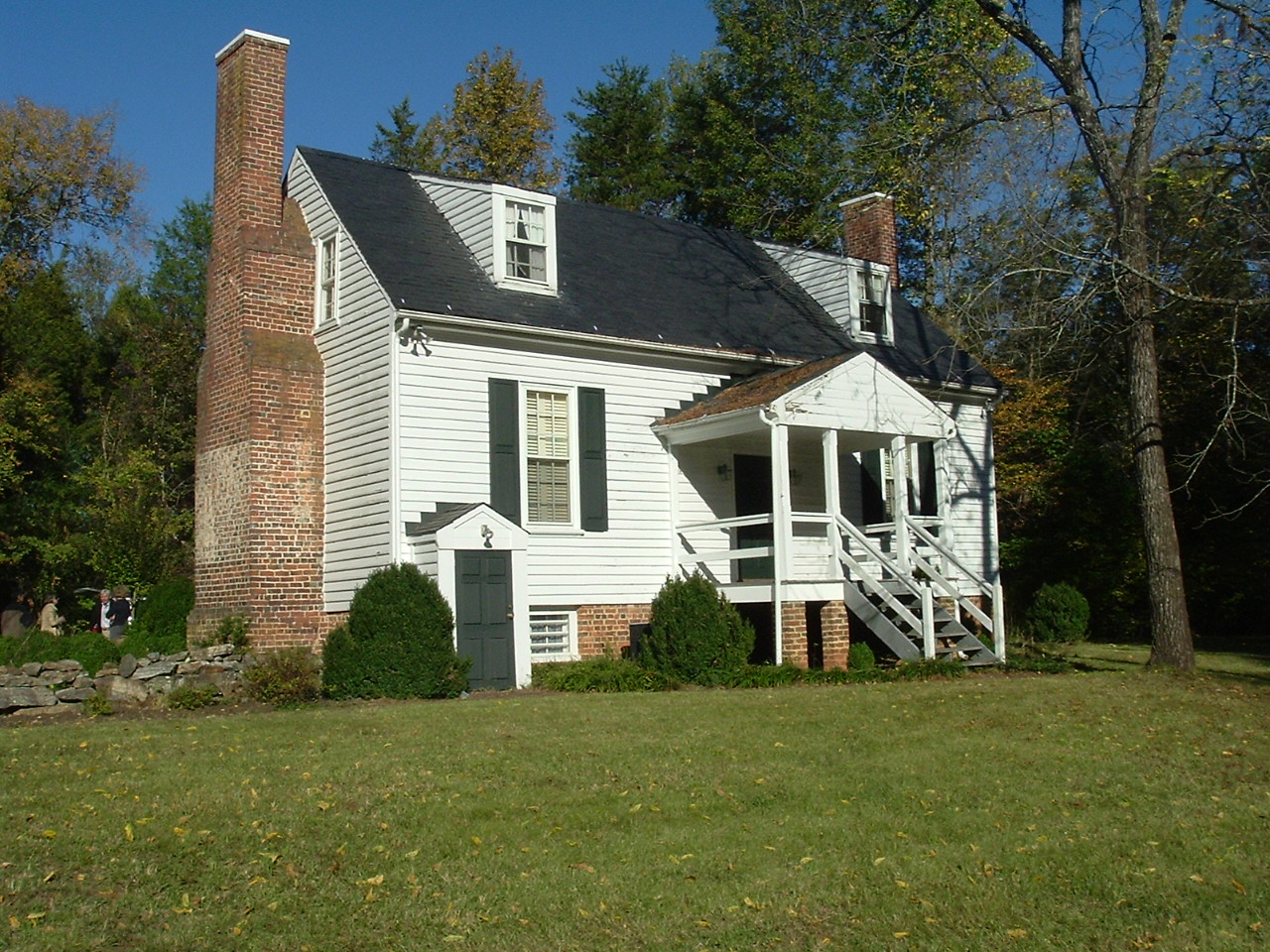
37°29′06″N 78°24′54″W / 37.485°N 78.415°WSprouses Corner 5 Peter Francisco House 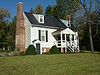
March 16, 1972 SE of Dillwyn, 0.9 mi. S of SR 626
37°29′02″N 78°22′09″W / 37.483889°N 78.369167°WDillwyn 6 Guerrant House December 7, 2000 Rte. 1
37°43′43″N 78°23′29″W / 37.728611°N 78.391389°WArvonia 7 Perry Hill October 30, 1980 VA 56
37°33′49″N 78°37′59″W / 37.563611°N 78.633056°WSaint Joy 8 Seven Islands Archeological and Historic District July 3, 1991 Address Restricted Arvonia 9 Stanton Family Cemetery April 29, 1993 VA 677 E side, 0.4 mi. N of jct. with VA 676
37°39′22″N 78°23′42″W / 37.656111°N 78.395°WDiana Mills 10 Woodside November 16, 1993 VA 631 N side, 0.5 mi. SW of jct. with US 60
37°32′56″N 78°32′59″W / 37.548889°N 78.549722°WBuckingham See also
- National Register of Historic Places listings in Virginia
- List of National Historic Landmarks in Virginia
References
- ^ The latitude and longitude information provided in this table was derived originally from the National Register Information System, which has been found to be fairly accurate for about 99% of listings. For about 1% of NRIS original coordinates, experience has shown that one or both coordinates are typos or otherwise extremely far off; some corrections may have been made. A more subtle problem causes many locations to be off by up to 150 yards, depending on location in the country: most NRIS coordinates were derived from tracing out latitude and longitudes off of USGS topographical quadrant maps created under the North American Datum of 1927, which differs from the current, highly accurate WGS84 GPS system used by Google maps. Chicago is about right, but NRIS longitudes in Washington are higher by about 4.5 seconds, and are lower by about 2.0 seconds in Maine. Latitudes differ by about 1.0 second in Florida. Some locations in this table may have been corrected to current GPS standards.
- ^ "National Register of Historic Places: Weekly List Actions". National Park Service, United States Department of the Interior. Retrieved on November 10, 2011.
- ^ Numbers represent an ordering by significant words. Various colorings, defined here, differentiate National Historic Landmark sites and National Register of Historic Places Districts from other NRHP buildings, structures, sites or objects.
- ^ "National Register Information System". National Register of Historic Places. National Park Service. . http://nrhp.focus.nps.gov/natreg/docs/All_Data.html.
U.S. National Register of Historic Places Topics Lists by states Alabama • Alaska • Arizona • Arkansas • California • Colorado • Connecticut • Delaware • Florida • Georgia • Hawaii • Idaho • Illinois • Indiana • Iowa • Kansas • Kentucky • Louisiana • Maine • Maryland • Massachusetts • Michigan • Minnesota • Mississippi • Missouri • Montana • Nebraska • Nevada • New Hampshire • New Jersey • New Mexico • New York • North Carolina • North Dakota • Ohio • Oklahoma • Oregon • Pennsylvania • Rhode Island • South Carolina • South Dakota • Tennessee • Texas • Utah • Vermont • Virginia • Washington • West Virginia • Wisconsin • WyomingLists by territories Lists by associated states Other Municipalities and communities of Buckingham County, Virginia Town 
CDPs Buckingham | Yogaville
Unincorporated
communitiesAlcoma | Allenslevel | Alpha | Andersonville | Areanum | Arvonia | Axtell | Bridgeport | Camm | Campbell Corner | Centenary | Chestnut Grove | Curdsville | Dentons Corner | Eldridge Corner | Eldridge Mill | Enonville | Gilliamsville | Glenmore | Gold Hill | Gravel Hill | Grays Corner | Katrine | Lawford | LeSueur | Manteo | Mt. Rush | Mount Vinco | New Canton | Nuckols | Paynes Mill‡ | Penlan | Pleasant Valley | Ransons | Rosney | Saint Joy | Sheppards | Slate Hill | Sliders | Smith Store | Sprouses Corner | Sunny Side‡ | Taggart | Toga | Union Hill | Woods Corner
Footnotes ‡This populated place also has portions in an adjacent county or counties
Categories:- Buckingham County, Virginia
- National Register of Historic Places in Virginia
- Virginia-related lists
-

Wikimedia Foundation. 2010.