- Orašje
-
Orašje 
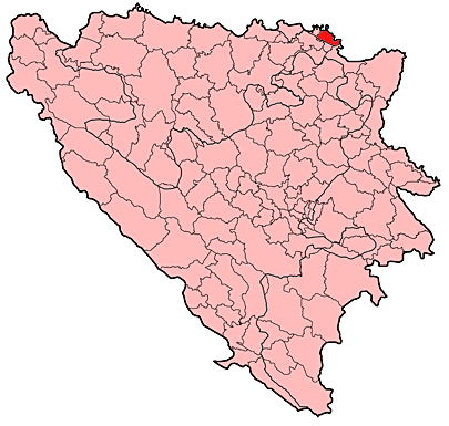
Coat of armsLocation of Orašje within Bosnia and Herzegovina.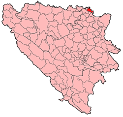 Location of Orašje
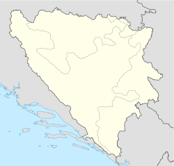
 Orašje
Coordinates: 45°2′N 18°42′E / 45.033°N 18.7°ECoordinates: 45°2′N 18°42′E / 45.033°N 18.7°E Country  Bosnia and Herzegovina
Government – Municipality president Đuro Topić (HDZ BiH) Population (1991 census) – Total 28,211 Time zone CET (UTC+1) – Summer (DST) CEST (UTC+2) Area code(s) +387 31 Website http://www.orasje.ba Orašje is a town in the northern part of Bosnia and Herzegovina, located on the river Sava on the border with Croatia. Orašje is the center of the Posavina Canton of the Federation of Bosnia and Herzegovina. It lies across the Sava river from Županja in Croatia.
Contents
Population/Demographics
1971
25.740 total
- Croats - 19.354 (75,19%)
- Serbs - 4.266 (16,57%)
- Muslims - 1.867 (7,25%)
- Yugoslavs - 131 (0,50%)
- Others - 122 (0,49%)
1991
In the 1991 census the municipality of Orašje had 28,211 residents, of which 75.27% Croats, 14.96% Serbs, 6.77% Bosniaks, 2.15% Yugoslavs and 0.86% others. The town of Orašje itself had 3,901 inhabitants: 47% Bosniaks, 23% Serbs, 15% Croats, 12% Yugoslavs and 3% others.
Sports
- The local football clubs are HNK Orašje and NK Hajduk
- Aleksandar Živković was a Croatian footballer, born 25 December 1912 in Orašje.
External links
Domaljevac · Odžak · Orašje
 Categories:
- Orašje
- Populated places in Orašje
- Bosnia and Herzegovina–Croatia border crossings


Wikimedia Foundation. 2010.