- Mrkonjić Grad
-
Mrkonjić Grad
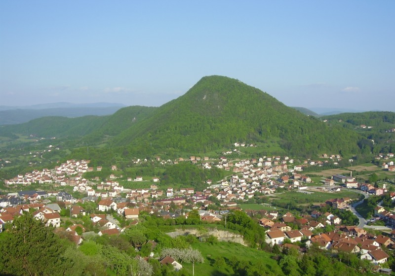
Мркоњић ГрадView on Mrkonjić Grad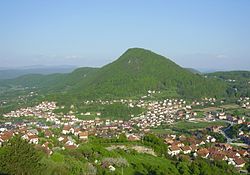 Location of Mrkonjić Grad within Bosnia and Herzegovina
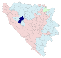
Coordinates: 44°42′N 17°09′E / 44.7°N 17.15°E Country Bosnia and Herzegovina Government – Mayor Divna Aničić (SNSD) [1] Population (1991) – Total 27,379 – Municipality ? Time zone CET (UTC+1) – Summer (DST) CEST (UTC+2) Area code(s) 50  Bočac fortress
 Monument of King Peter Karađorđević of Serbia
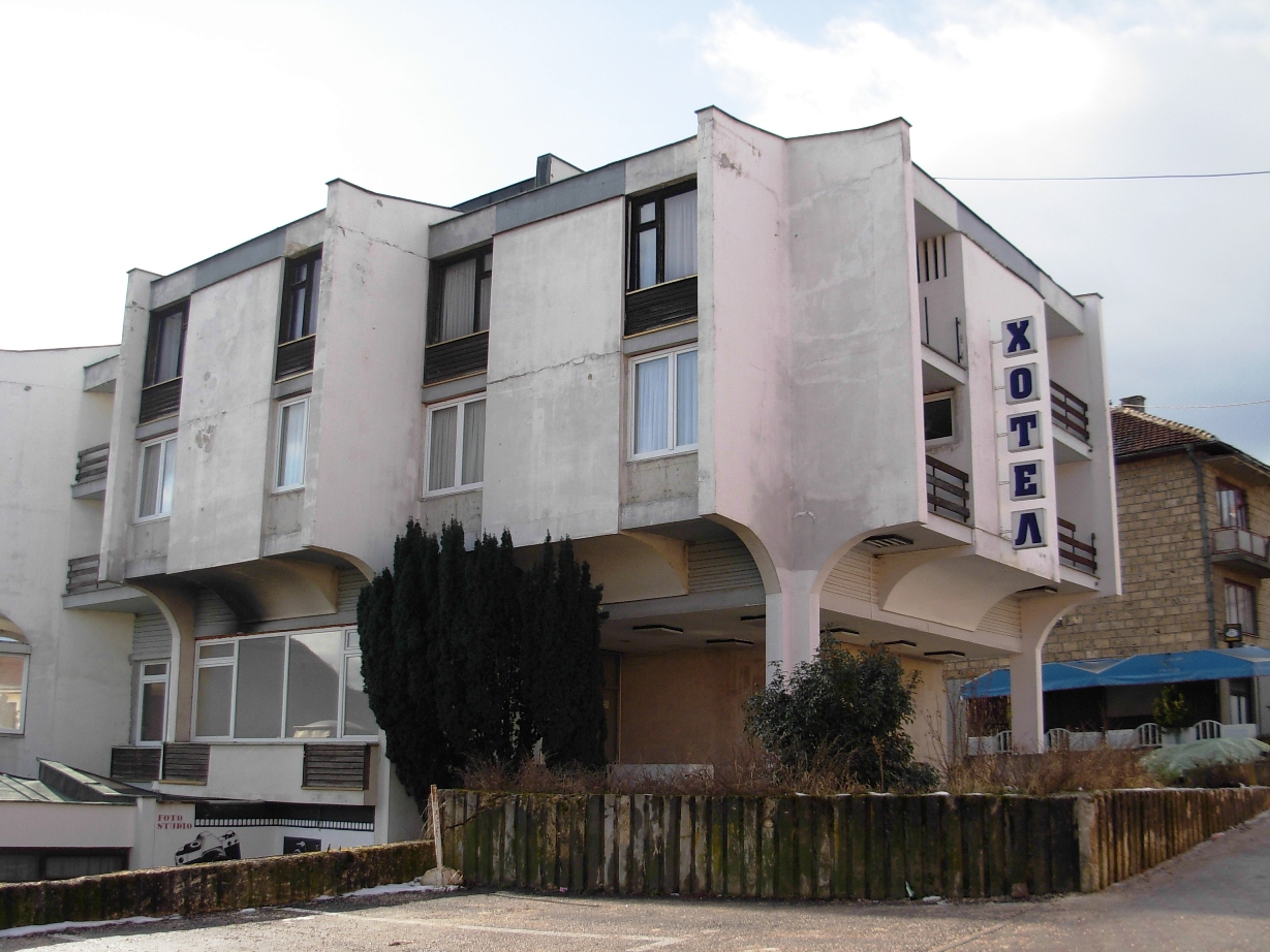
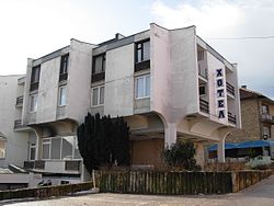 Hotel Krajina
Mrkonjić Grad (Serbian Cyrillic: Мркоњић Град) is a town and municipality in western Bosnia and Herzegovina, in the Republika Srpska entity. It is located in the Bosanska Krajina, between Banja Luka and Jajce.
Contents
Name
The city changed its name several times in history: Gornje Kloke, Novo Jajce (Jenidži Jajce), Varcarev Vakuf, Varcar Vakuf, and ultimately the present one. The last renaming took place in 1924 after King Peter I of Serbia, who had taken the nom de guerre 'Mrkonjić' while fighting as a hajduk in the uprising (1875-1878) against the Ottoman Empire.
History
In World War II, the city became renowned by the first meeting of ZAVNOBiH on November 25, 1943, when Bosnia and Herzegovina was proclaimed as a common republic of Bosnian Serbs, Bosnian Croats and Bosnian Muslims/Bosniaks.
During the Bosnian Civil War from 1992 to 1995, the city was in Bosnian Serbs hands. On Oct 8-12 1995, the Croatian forces (Armed Forces of the Republic of Croatia and Croatian Defence Council) took over the municipality of Mrkonjic Grad by committing atrocities against local Serbian population. Of the 480 Serbs killed, only 219 bodies have been exhumed and identified, so far. As a result, a high majority of the Bosnian-Serb population was forced to leave the municipality. The Croatian forces destroyed close to 90% of Mrkonjic Grad's infrastructure in an attempt to prevent the return of the Serbian population after the war. These forces completely destroyed 3644 houses and 700 apartments/condos, and rendered 6017 other buildings totally unusable.
Mrkonjic Grad is preparing a lawsuit against Croatia as a compensation for material damage caused by their regular army during the city's occupation from October 10, 1995 to February 4, 1996.
The city is also known for the Mrkonjić Grad incident where the USAF lost one F-16 in June 1995.[1] The pilot of the jet, Scott O'Grady, was stranded in the area for six days before being rescued by US Marines.
After the Dayton peace agreement the city was assigned to the entity of Republika Srpska.[2]
Demographics
1910
According to the 1910 census, the absolute majority in the Varcar Vakuf municipality were Serbian Orthodox Christians (79.61%).
1971
30.159 total
- Serbs - 24.990 (82,86%)
- Muslims - 2.734 (9,06%)
- Croats - 2.204 (7,30%)
- Yugoslavs - 98 (0,32%)
- others - 133 (0,46%)
1981
29.684 total
- Serbs - 23.364 (78,70%)
- Muslims - 3.009 (10,13%)
- Croats - 2.290 (7,71%)
- Yugoslavs - 855 (2,88%)
- others - 166 (0,58%)
1991
In the 1991 census, the municipality of Mrkonjić Grad had 27,379 residents, including:
- 21,159 Serbs (See: Serbs of Bosnia and Herzegovina)
- 3,275 Muslims by nationality
- 2,141 Croats (See: Croats of Bosnia and Herzegovina)
- 584 Yugoslavs
- 220 others
The town itself had 11,261 residents, including:
- 78% Serbs
- 13% Muslims by nationality
- 4% Yugoslavs
- 3% Croats
- 2% others
2006
In 2006, the majority of inhabitants of municipality were Serbs.
Features
The Balkana lake lies near the town and presents a small, but beautiful tourist resort.
References
- ^ NATO-Allied Forces Southern Europe Website Accessed March 17, 2011
- ^ The Dayton Peace Accords Accessed March 17, 2011
See also
The Mrkonjić Grad Incident Mrkonjić Grad incident
The Dayton Peace Accords [2] Accessed March 17, 2011
External links
- Municipality of Mrkonjić Grad
- Mrkonjić Grad - Internet - Live & Exclusive from MG
- Mrkonjić Grad Portal
- Zelenkovac Art gallery
Categories:- Bosnia and Herzegovina geography stubs
- Mrkonjić Grad
- Populated places in Mrkonjić Grad


Wikimedia Foundation. 2010.