- Clifton Hill railway station
-
Clifton Hill 
Station information Code CHL Distance from
Flinders Street5.4 km Operator Metro Trains Melbourne Lines Epping,
Hurstbridge# Platforms 2 # Tracks 3 Status Premium station Metlink profile Link Melway map Link Google map Link Metcard / Myki Zone 1 Clifton Hill railway station is a Premium Station[1] in the suburb of Clifton Hill, Melbourne, Victoria, Australia. It services the Epping and Hurstbridge railway lines[2] and is located just before the junction of these lines. The station falls within the Metcard Zone 1 area.
The station is located between Hoddle Street and John Street and can be accessed via either street.[3] Tram route 86 is a short walk from the station.
Contents
Station overview
Facilities
Clifton Hill station consists of two tracks with platforms on either side. The station buildings, of which there is one on each platform, are of a Tudor-inspired design.[4] The buildings are symmetrical and orientated around a central booking lobby with a waiting room and station offices on either side of this. Corrugated iron extensions are located on either side of the main buildings and contain toilets and a porter's room. Timber verandahs on each platform shelter waiting passengers.
A pedestrian underpass is located beneath the station and connects John Street, Platforms 1 and 2, and Mayor's Park which is located on the opposite side of Hoddle Street. The underpass replaced a timber pedestrian bridge over Hoddle Street in 1957. The section of the underpass under the railway is managed by Metro Trains; the section under Hoddle Street is managed by the City of Yarra.
History
Clifton Hill station opened on 8 May 1888.[5] The station was damaged by fire in December 1981, although the heritage registered verandah escaped serious damage. The station was renovated in 1990 with a matching verandah built on the western platform. Boom barriers replaced interlocked gates at Ramsden Street in 1992.[6] It was upgraded to a Premium Station on 25 June 1996.[7]
Clifton Hill Station is listed on the Register of the National Estate.[4] It is an intact example of a Victorian Tudor style suburban railway station and is one of eleven that were originally built in the period 1887–1889. It is the only example that still retains the original corrugated iron wings on either side of the main building. The timber verandah on the eastern platform is also considered architecturally rare. Other features of the complex include two timber-framed gabled roofed signal boxes (built in 1888 and 1901), situated either side of platform 2, and the original swinging railway gates (now not in use).[8] One signal box was for the operator of the former level crossing gates across Heidelberg Road, replaced by an overpass in 1957. The other signal box serviced the level crossing at Ramsden Street.
Clifton Hill was once part of the Inner Circle Railway.
The track between Clifton Hill and Westgarth was duplicated in 2008-2009 and included a bridge over Merri Creek. It was opened by the Premier John Brumby and Transport Minister Lynne Kosky on 27 January 2009.[9]
Platforms
Platform 1:
- Epping line - all stations services and limited stops services to Flinders Street.
- Hurstbridge line - all stations and limited stops services to Flinders Street.
Platform 2:
- Epping line - all stations and occasional express services to Epping.
- Hurstbridge line - all stations and limited stops services to Heidelberg, Macleod, Greensborough, Eltham and Hurstbridge.
(Although this represents the usual platform use, both platforms are in fact bi-directional, meaning any service in either direction on either the Epping or Hurstbridge lines can use either platform. This is most commonly seen happening during disruptions or delays.)
Gallery
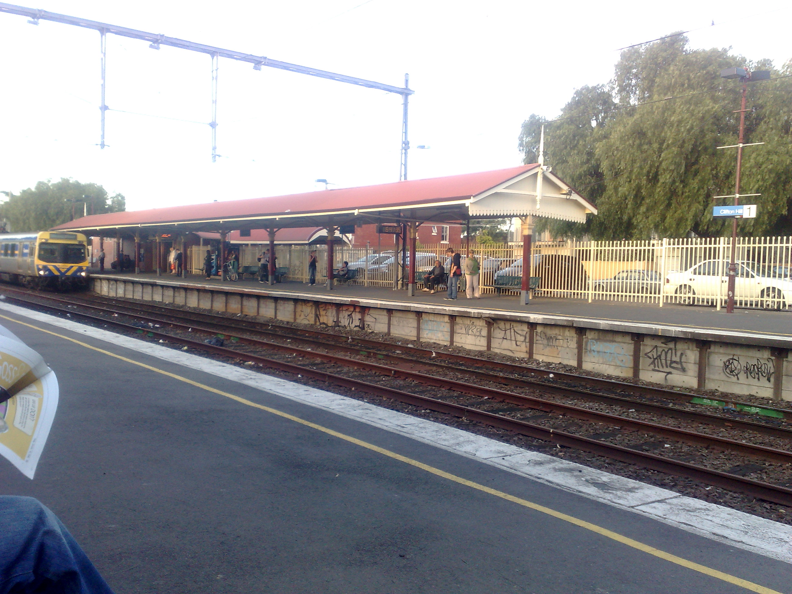
-
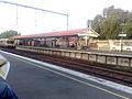
View of Platform 1.
References
- ^ "Clifton Hill Railway Station (Clifton Hill) - Train stop". Metlink Melbourne. http://www.metlinkmelbourne.com.au/stop/view/19974. Retrieved 2011-06-04.
- ^ "Metropolitan train network map" (GIF). Metlink Melbourne. http://www.metlinkmelbourne.com.au/maps-stations-stops/metropolitan-maps/metropolitan-train-network-map/. Retrieved 2011-06-04.
- ^ "Google Maps : Clifton Hill railway station". Google. http://maps.google.com/maps?ie=UTF8&om=1&z=16&ll=-37.788675,144.995434&spn=0.012565,0.019956. Retrieved 2008-02-14.
- ^ a b "Entry AHD15097". Australian Heritage Database. Department of Sustainability, Environment, Water, Population and Communities. http://www.environment.gov.au/cgi-bin/ahdb/search.pl?mode=place_detail;place_id=15097. Retrieved 2008-02-14.
- ^ VICSIG Infrastructure - Clifton Hill
- ^ "VICSIG Infrastructure". www.vicsig.net/index.php. http://www.vicsig.net/index.php?page=infrastructure&pcr=S0064. Retrieved 2009-02-26.
- ^ "Upgrading Eltham to a Premium Station". Newsrail (Australian Railway Heritage Society (Victorian Division)): page 310. October 1997.
- ^ VHR Number H1668
- ^ "First-passenger-trains-on-new-rail-bridge-today". ALP Media Release. http://www.alpvictoria.com.au/News-and-Media/Road-and-Transport/News/First-passenger-trains-on-new-rail-bridge-today.html. Retrieved 2009-01-30.[dead link]
Station Navigation Epping line ← Previous Station Victoria Park | Rushall Next Station → Hurstbridge line ← Previous Station Victoria Park | Westgarth Next Station → Entire network Melbourne's public transport - Metlink Modes and network Ticketing Metropolitan rail operators Regional rail operators Metropolitan and regional bus operators Broadmeadows Bus Service • Cardinia Transit • Cranbourne Transit • Driver Bus Lines • Dyson's Bus Services • Eastrans • East West Bus Company • Grenda's • Hope Street Bus Line • Invicta Bus Services • Ivanhoe Bus Company • Kastoria Bus Lines • Martyrs Bus Service • Melbourne Bus Link • McKenzie's • Moonee Valley • Moorabbin Transit • Moreland Buslines • NationalBus • Panorama Coaches • Peninsula Bus Lines • Portsea • Reservoir • Ryan Brothers Bus Service • Sita Buslines • Skybus Super Shuttle • Sunbury Bus Service • Tullamarine Bus Lines • US Bus Lines • Ventura Bus Lines • WestransPlanned infrastructure Authorities Coordinates: 37°47′19″S 144°59′43″E / 37.7887°S 144.9954°E
Categories:- Railway stations in Melbourne
- Premium Melbourne railway stations
- Heritage listed buildings in Melbourne
- Railway stations opened in 1888
- Melbourne rail transport stubs
Wikimedia Foundation. 2010.