- Milton Hill Historic District
-
Milton Hill Historic District
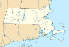

Location: Roughly bounded by Adams and School Sts., Randolph and Canton Aves. and Brook Rd., Milton, Massachusetts Coordinates: 42°15′52″N 71°3′59″W / 42.26444°N 71.06639°WCoordinates: 42°15′52″N 71°3′59″W / 42.26444°N 71.06639°W Area: 220.4 acres (89.2 ha) Architect: Cram and Ferguson; et al. Architectural style: Mid 19th Century Revival, Early Republic, Colonial Governing body: Local NRHP Reference#: 95000698[1] Added to NRHP: June 09, 1995 Milton Hill Historic District is a historic district in Milton, Massachusetts. It was listed on the National Register of Historic Places in 1995.[1]
It includes the Captain Robert Bennet Forbes House, a National Historic Landmark, and the Dr. Amos Holbrook House and Governor Thomas Hutchinson's Ha-ha, both separately listed on the National Register of Historic Places, as well as a variety of other buildings ranging from the Colonial era into the 20th Century.
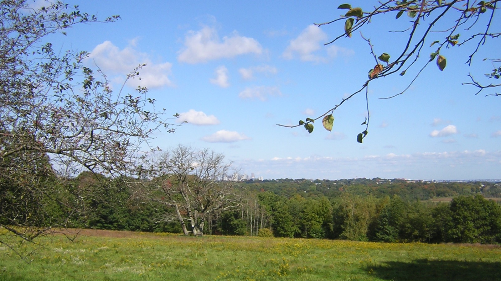
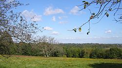
Governor Thomas Hutchinson's Field, owned by The Trustees of the Reservations lies in the middle of the District and offers sweeping views of Boston and the South Shore.
Gallery
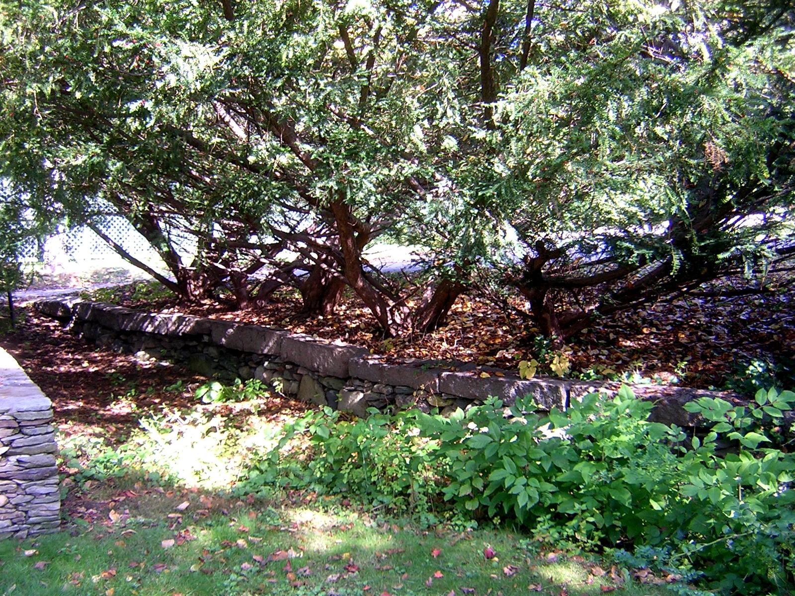
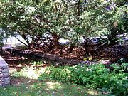 Gov. Hutchinson's Ha-ha
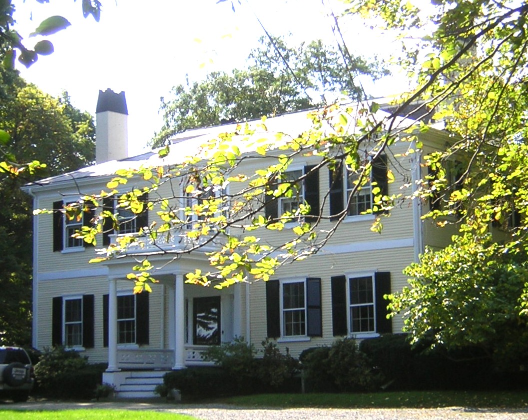
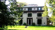 Robert B. Forbes House
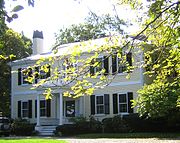
References
- ^ a b "National Register Information System". National Register of Historic Places. National Park Service. 2009-03-13. http://nrhp.focus.nps.gov/natreg/docs/All_Data.html.
U.S. National Register of Historic Places Topics Lists by states Alabama • Alaska • Arizona • Arkansas • California • Colorado • Connecticut • Delaware • Florida • Georgia • Hawaii • Idaho • Illinois • Indiana • Iowa • Kansas • Kentucky • Louisiana • Maine • Maryland • Massachusetts • Michigan • Minnesota • Mississippi • Missouri • Montana • Nebraska • Nevada • New Hampshire • New Jersey • New Mexico • New York • North Carolina • North Dakota • Ohio • Oklahoma • Oregon • Pennsylvania • Rhode Island • South Carolina • South Dakota • Tennessee • Texas • Utah • Vermont • Virginia • Washington • West Virginia • Wisconsin • WyomingLists by territories Lists by associated states Other This article about a National Register of Historic Places listing in Norfolk County, Massachusetts is a stub. You can help Wikipedia by expanding it.