- Jemez State Monument
-
Jemez State Monument
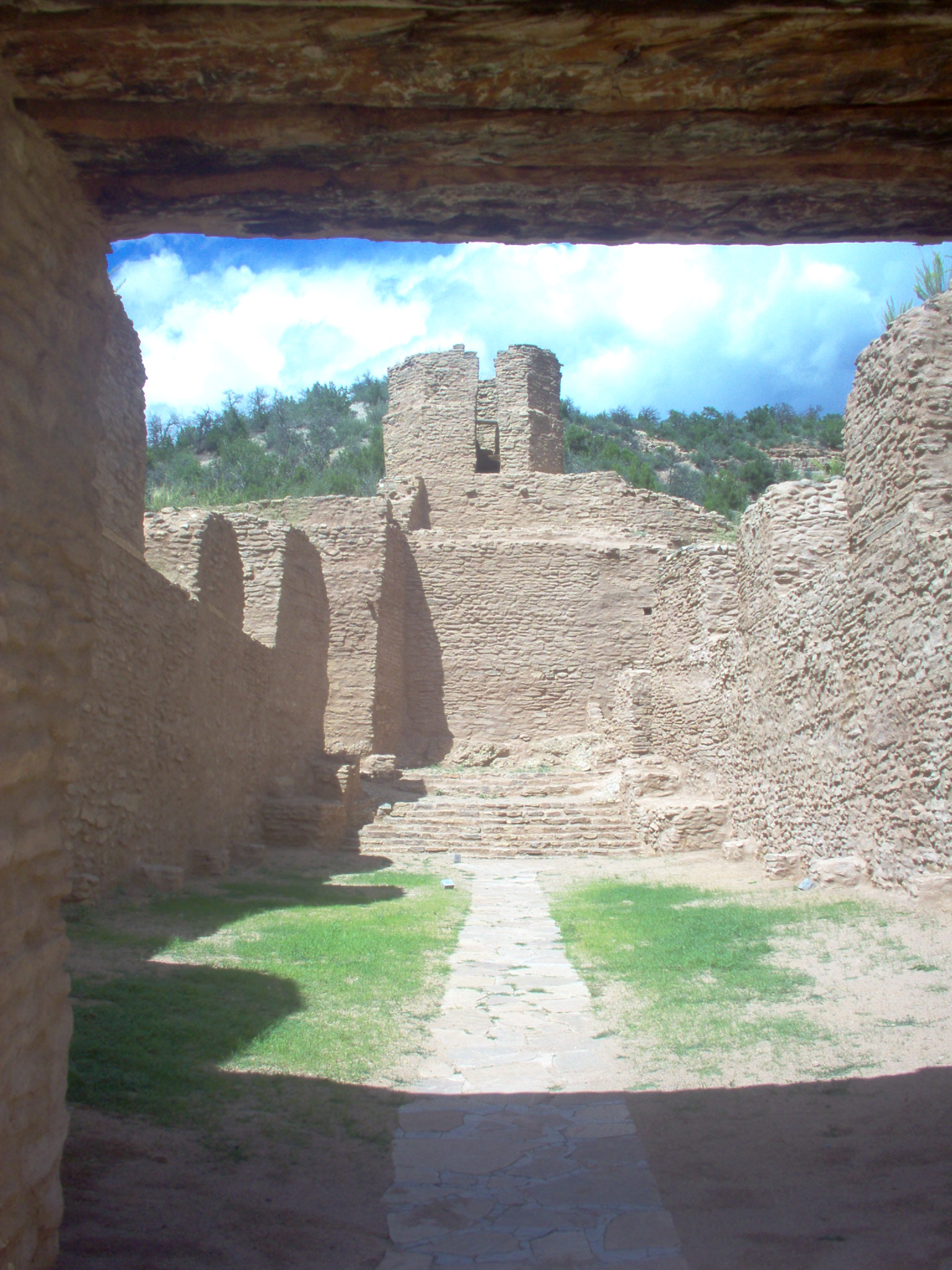
 Nave of the San José de los Jemez Mission Church
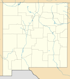

Location: Jemez Springs, New Mexico Coordinates: 35°46′38″N 106°41′11″W / 35.77722°N 106.68639°WCoordinates: 35°46′38″N 106°41′11″W / 35.77722°N 106.68639°W Built: 1621 Architect: Fray Gerónimo Zárate Salmerón Architectural style: Other Governing body: State NRHP Reference#: 73001147[1] Added to NRHP: March 14, 1973 The Jemez State Monument is a protected area in Sandoval County, New Mexico, United States, in the village of Jemez Springs. The site was listed on the National Register of Historic Places in 1973.[1] The Monument consists of the 14th century stone ruins of Gisewa Pueblo, and the 17th century San José de los Jemez Mission Church. The Jemez People once occupied Gisewa Pueblo and many other Pueblos in this area.
-

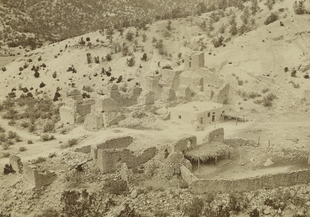
The ruins circa 1877. Photo by John K. Hillers.
-

Ruins of Gisewa Pueblo and San José de los Jemez Mission Church
See also
- Jemez Pueblo
- Jemez Springs
- Pueblo People
References
- ^ a b "National Register Information System". National Register of Historic Places. National Park Service. 2008-04-15. http://nrhp.focus.nps.gov/natreg/docs/All_Data.html.
External links
U.S. National Register of Historic Places Topics Lists by states Alabama • Alaska • Arizona • Arkansas • California • Colorado • Connecticut • Delaware • Florida • Georgia • Hawaii • Idaho • Illinois • Indiana • Iowa • Kansas • Kentucky • Louisiana • Maine • Maryland • Massachusetts • Michigan • Minnesota • Mississippi • Missouri • Montana • Nebraska • Nevada • New Hampshire • New Jersey • New Mexico • New York • North Carolina • North Dakota • Ohio • Oklahoma • Oregon • Pennsylvania • Rhode Island • South Carolina • South Dakota • Tennessee • Texas • Utah • Vermont • Virginia • Washington • West Virginia • Wisconsin • WyomingLists by territories Lists by associated states Other Categories:- Jemez Mountains
- Buildings and structures on the National Register of Historic Places in New Mexico
- Protected areas of Sandoval County, New Mexico
- History of Sandoval County, New Mexico
- New Mexico geography stubs
- New Mexico Registered Historic Place stubs
-


Wikimedia Foundation. 2010.