- Creswell, Oregon
-
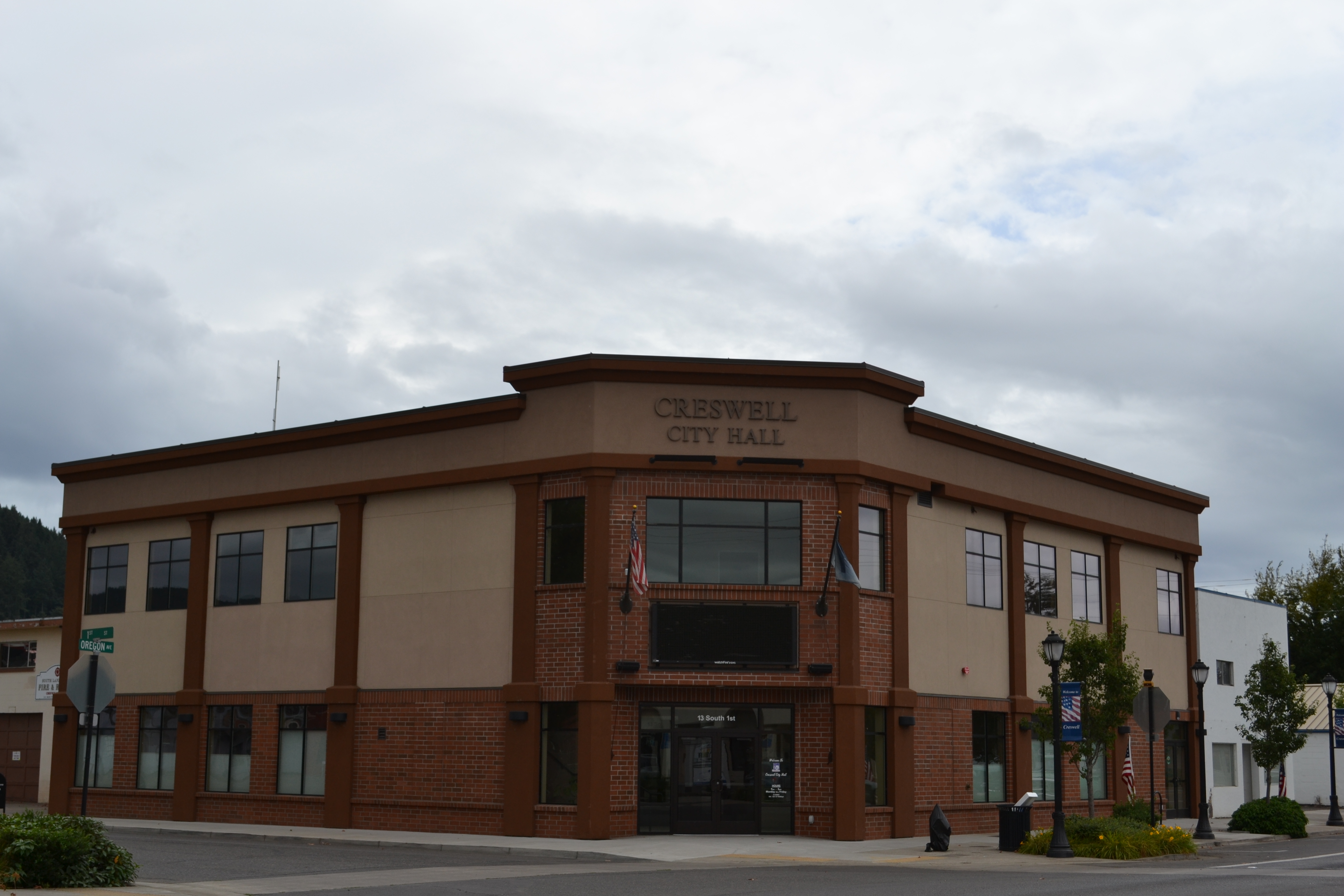
Creswell, Oregon — City — Creswell City Hall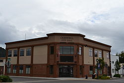
Nickname(s): The Friendly City Location in Oregon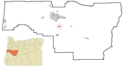
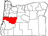
Coordinates: 43°55′5″N 123°1′17″W / 43.91806°N 123.02139°WCoordinates: 43°55′5″N 123°1′17″W / 43.91806°N 123.02139°W Country United States State Oregon County Lane Incorporated 1909 Government – Mayor Bob Hooker Area – Total 1.2 sq mi (3.2 km2) – Land 1.2 sq mi (3.1 km2) – Water 0 sq mi (0.1 km2) Elevation 542 ft (165.2 m) Population (2010) – Total 5,031 – Density 4,071.9/sq mi (1,572.2/km2) Time zone Pacific (UTC-8) – Summer (DST) Pacific (UTC-7) ZIP code 97426 Area code(s) 541 FIPS code 41-16950[1] GNIS feature ID 1119540[2] Website www.ci.creswell.or.us Creswell is a city in the Willamette Valley of Lane County, Oregon, United States. The population at the 2010 census was 5,031.[3]
Contents
Geography
According to the United States Census Bureau, the city has a total area of 1.2 square miles (3.1 km2), of which 0.04 square miles (0.10 km2), or 2.42%, is water.[4]
Demographics
As of the census[1] of 2000, there were 3,579 people, 1,271 households, and 911 families residing in the city. The population density was 2,957.0 people per square mile (1,142.0/km²). There were 1,343 housing units at an average density of 1,109.6 per square mile (428.5/km²). The racial makeup of the city was 89.02% White, 0.31% African American, 1.82% Native American, 0.53% Asian, 0.17% Pacific Islander, 4.08% from other races, and 4.08% from two or more races. Hispanic or Latino of any race were 7.01% of the population. There were 1,271 households out of which 41.4% had children under the age of 18 living with them, 53.1% were married couples living together, 13.5% had a female householder with no husband present, and 28.3% were non-families. 21.6% of all households were made up of individuals and 8.7% had someone living alone who was 65 years of age or older. The average household size was 2.77 and the average family size was 3.21.
In the city the population 31.3% under the age of 18, 8.5% from 18 to 24, 30.8% from 25 to 44, 18.4% from 45 to 64, and 11.0% who were 65 years of age or older. The median age was 32 years. For every 100 females there were 90.5 males. For every 100 females age 18 and over, there were 89.7 males. The median income for a household in the city was $34,053, and the median income for a family was $40,709. Males had a median income of $28,583 versus $22,917 for females. The per capita income for the city was $13,736. About 15.3% of families and 19.0% of the population were below the poverty line, including 24.1% of those under age 18 and 5.3% of those age 65 or over.
Parks and recreation
Creswell is the home of the Emerald Valley Golf Club. The course is located on 170 acres (0.69 km2) along the west bank of the Willamette River's Coast Fork. It was built in 1966 by James and Eugene Russell. After a series of owners, businessman Jim Pliska bought the golf course in 2002. Today, Emerald Valley Golf Club is the home of the University of Oregon golf team.[5][6][7]
Education
The Creswell School District has three schools: Creslane Elementary School, Creswell Middle School, and Creswell High School.
Media
The Creswell Chronicle is the city's weekly newspaper.
Transportation
The city has a general aviation airport, Hobby Field, (IATA airport code:775, ICAO airport code: K77S), and is located on Interstate 5 and Oregon Route 99. Lane County Transit (LTD) has limited bus service to Creswell.
Notable people
- Mark Few, head coach for the Gonzaga Bulldogs men's basketball team
- Harry and Bertha Holt, founders of Holt International Children's Services[8]
- Luke Jackson, basketball player
References
- ^ a b "American FactFinder". United States Census Bureau. http://factfinder.census.gov. Retrieved 2008-01-31.
- ^ "US Board on Geographic Names". United States Geological Survey. 2007-10-25. http://geonames.usgs.gov. Retrieved 2008-01-31.
- ^ "Race, Hispanic or Latino, Age, and Housing Occupancy: 2010 Census Redistricting Data (Public Law 94-171) Summary File (QT-PL), Creswell city, Oregon". U.S. Census Bureau, American FactFinder 2. http://factfinder2.census.gov. Retrieved October 31, 2011.
- ^ "US Gazetteer files: 2010, 2000, and 1990". United States Census Bureau. 2011-02-12. http://www.census.gov/geo/www/gazetteer/gazette.html. Retrieved 2011-04-23.
- ^ "Emerald Valley changes owners", Eugene Register-Guard, Eugene, Oregon, 25 April 1974, p. 3C.
- ^ "Emerald Valley Golf Club", on-line Course Finder, Oregon Golf Association, Woodburn, Oregon, 24 April 2010.
- ^ "Emerald Valley Golf Club", NWGolfGuys, www.nwgolfguys.com, Beaverton, Oregon, 25 April 2010,
- ^ Engeman, Richard H. (2009). The Oregon Companion: An Historical Gazetteer of The Useful, The Curious, and The Arcane. Portland, Oregon: Timber Press. p. 179. ISBN 978-0-88192-899-0.
External links
Municipalities and communities of Lane County, Oregon Cities Coburg | Cottage Grove | Creswell | Dunes City | Eugene | Florence | Junction City | Lowell | Oakridge | Springfield | Veneta | Westfir
Unincorporated
communitiesAlvadore | Belknap Springs | Blachly | Blue River | Brickerville | Cheshire | Cloverdale | Crow | Culp Creek | Cushman | Deadwood | Deerhorn | Dexter | Disston | Dorena | Elmira | Fall Creek | Finn Rock | Franklin | Gillespie Corners | Glenada | Glenwood | Goldson | Goshen | Greenleaf | Heceta Beach | Horton | Indiola | Jasper | Lancaster | Latham | Leaburg | Linslaw | London Springs | Lorane | Low Pass | Mabel | Mapleton | Marcola | McCredie Springs | McKenzie Bridge | Minerva | Mohawk | Nimrod | North Beach | Noti | Pleasant Hill | Rainbow | Riverview | Saginaw | Searose Beach | Siltcoos | Swisshome | Tide | Tiernan | Triangle Lake | Vaughn | Vida | Walden | Walker | Walterville | Walton | Wendling | Westlake
Ghost towns Categories:- Cities in Oregon
- Populated places in Lane County, Oregon


Wikimedia Foundation. 2010.