- McCredie Springs, Oregon
-
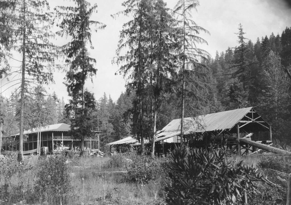
McCredie Springs — Unincorporated community — McCredie Springs Resort and sawmill in 1910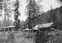 Location within the state of Oregon
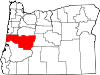
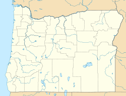
 McCredie Springs
Coordinates: 43°42′35″N 122°17′20″W / 43.70972°N 122.28889°WCoordinates: 43°42′35″N 122°17′20″W / 43.70972°N 122.28889°W Country United States State Oregon County Lane Elevation 2,064 ft (629 m) Time zone Pacific (PST) (UTC-8) – Summer (DST) PDT (UTC-7) ZIP code 97463 Area code(s) 458 and 541 FIPS code GNIS feature ID 114953[1] McCredie Springs is an unincorporated community in Lane County, Oregon.[2] It is located near Oregon Route 58, about 10.7 miles (17.2 km) east of Oakridge, and 50.7 miles (81.6 km) east of Eugene. McCredie Springs is within the Willamette National Forest and is known for the nearby natural hot springs.[3]
McCredie Hot Springs
The hot springs are located at 43°42′14″N 122°17′14″W / 43.70389°N 122.28722°W[4], on the other side of OR 58 from McCredie Springs, near the banks of Salt Creek. From Highway 58 there is a large parking area located within a quarter mile of the springs making the nearby pool sometimes referred to as the "trucker spring. Other pools are located directly across Salt creek and are accessible by swimming, or a poorly marked trail head on a logging road just east on 58.[5]
References
- ^ "Geographic Names Information System". United States Geological Survey. http://geonames.usgs.gov/pls/gnispublic. Retrieved 2008-01-31.
- ^ "OR HomeTownLocator: McCredie Springs, Oregon". http://oregon.hometownlocator.com/or/lane/mccredie-springs.cfm.
- ^ "McCredie Hot Springs". oregonhotsprings.immunenet.com. http://oregonhotsprings.immunenet.com/mccredie.htm.
- ^ "McCredie Hot Springs". GNIS. http://geonames.usgs.gov/pls/gnispublic/f?p=gnispq:3:::NO::P3_FID:1130581.
- ^ "McCredie Hot Springs tips and video". www.hotspringsoak.com. http://hotspringsoak.com/McCredie%20Hot%20Springs.html.
External links
Municipalities and communities of Lane County, Oregon Cities Coburg | Cottage Grove | Creswell | Dunes City | Eugene | Florence | Junction City | Lowell | Oakridge | Springfield | Veneta | Westfir
Unincorporated
communitiesAlvadore | Belknap Springs | Blachly | Blue River | Brickerville | Cheshire | Cloverdale | Crow | Culp Creek | Cushman | Deadwood | Deerhorn | Dexter | Disston | Dorena | Elmira | Fall Creek | Finn Rock | Franklin | Gillespie Corners | Glenada | Glenwood | Goldson | Goshen | Greenleaf | Heceta Beach | Horton | Indiola | Jasper | Lancaster | Latham | Leaburg | Linslaw | London Springs | Lorane | Low Pass | Mabel | Mapleton | Marcola | McCredie Springs | McKenzie Bridge | Minerva | Mohawk | Nimrod | North Beach | Noti | Pleasant Hill | Rainbow | Riverview | Saginaw | Searose Beach | Siltcoos | Swisshome | Tide | Tiernan | Triangle Lake | Vaughn | Vida | Walden | Walker | Walterville | Walton | Wendling | Westlake
Ghost towns Categories:- Unincorporated communities in Lane County, Oregon
- Spa towns in Oregon
- Lane County, Oregon geography stubs


Wikimedia Foundation. 2010.