- McKenzie Bridge, Oregon
-
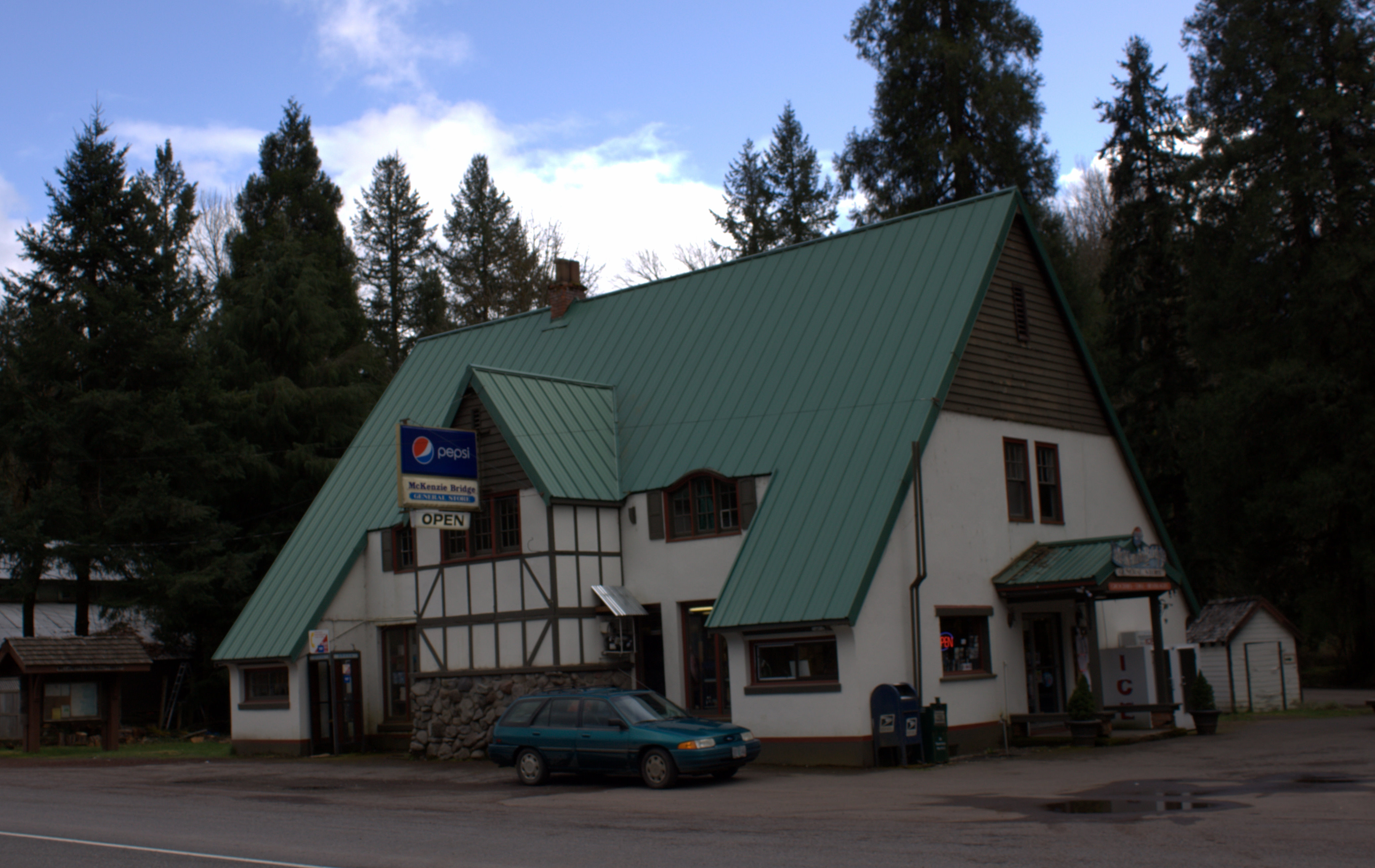
McKenzie Bridge — Unincorporated community — General store at McKenzie Bridge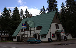 Location within the state of Oregon
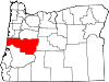
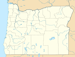
 McKenzie Bridge
Coordinates: 44°10′31″N 122°9′46″W / 44.17528°N 122.16278°WCoordinates: 44°10′31″N 122°9′46″W / 44.17528°N 122.16278°W Country United States State Oregon County Lane Time zone Pacific (PST) (UTC-8) – Summer (DST) PDT (UTC-7) ZIP code 97413 Area code(s) 458 and 541 FIPS code GNIS feature ID McKenzie Bridge is an unincorporated community in Lane County, Oregon, United States, on the McKenzie River and within Willamette National Forest. It is located along Oregon Route 126, about 53 miles east of Eugene, between Rainbow and Belknap Springs. The McKenzie Bridge State Airport is about four miles east of the community.[1]
McKenzie Bridge was the home of the National Register of Historic Places listed Log Cabin Inn until March 29, 2006, when it was destroyed by fire.[2] Some historic auxiliary buildings remain.
The McKenzie River Ranger Station,[3] originally the site of the 1934 Civilian Conservation Corps Camp Belknap,[4] is located in McKenzie Bridge. Jennie B. Harris county park is nearby.[5]
References
- ^ http://mscfprod2.iservices.state.or.us/aims/general.asp?fk_object=219&TabName= Oregon Department of Aviation Airport IQ: McKenzie Bridge State Airport
- ^ http://www.registerguard.com/news/2006/05/07/ol.logcabininn.0507.p1.php?section=oregonlife Baker, Mark. "Inn memoriam: From berry cobbler to Clark Gable to storms and walks along the river, patrons recall the good times at the Log Cabin Inn". The Register-Guard. May 7, 2006.
- ^ http://www.fs.fed.us/r6/willamette/general/offices/ U.S.D.A. Forest Service McKenzie River Ranger District information
- ^ http://www.fs.fed.us/r6/willamette/newsandevents/news/2002newsarchives/021105CCC.html U.S.D.A. Forest Service press release: District Honors Men of the Civilian Conservation Corps
- ^ http://www.co.lane.or.us/parks/allparks_f_j.htm#park78 Lane County Parks overview
External links
- McKenzie River Reflections newspaper
- Historic photos of McKenzie Bridge from Salem Public Library
- Civilian Conservation Corps Camp Belknap History
Municipalities and communities of Lane County, Oregon Cities Coburg | Cottage Grove | Creswell | Dunes City | Eugene | Florence | Junction City | Lowell | Oakridge | Springfield | Veneta | Westfir
Unincorporated
communitiesAlvadore | Belknap Springs | Blachly | Blue River | Brickerville | Cheshire | Cloverdale | Crow | Culp Creek | Cushman | Deadwood | Deerhorn | Dexter | Disston | Dorena | Elmira | Fall Creek | Finn Rock | Franklin | Gillespie Corners | Glenada | Glenwood | Goldson | Goshen | Greenleaf | Heceta Beach | Horton | Indiola | Jasper | Lancaster | Latham | Leaburg | Linslaw | London Springs | Lorane | Low Pass | Mabel | Mapleton | Marcola | McCredie Springs | McKenzie Bridge | Minerva | Mohawk | Nimrod | North Beach | Noti | Pleasant Hill | Rainbow | Riverview | Saginaw | Searose Beach | Siltcoos | Swisshome | Tide | Tiernan | Triangle Lake | Vaughn | Vida | Walden | Walker | Walterville | Walton | Wendling | Westlake
Ghost towns Categories:- Civilian Conservation Corps in Oregon
- Unincorporated communities in Lane County, Oregon


Wikimedia Foundation. 2010.