- Mariemont, Ohio
-
Mariemont, Ohio — Village — Downtown Mariemont Location of Mariemont, Ohio
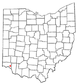 Mariemont (red) shown with other areas in the Mariemont School District: Fairfax (green), a portion of Columbia Township (light green) and Terrace Park (yellow).
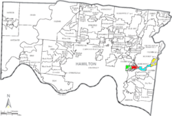
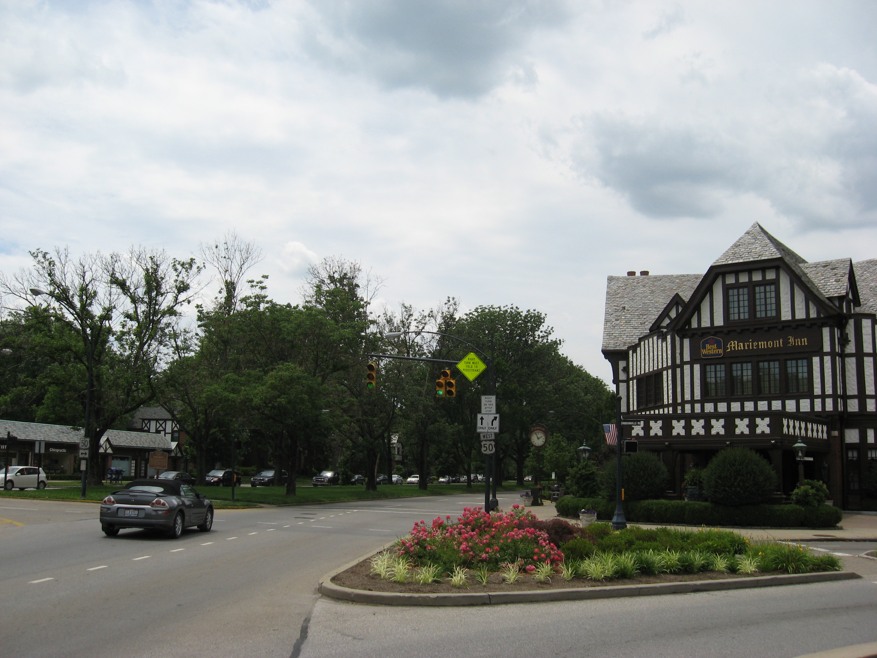
Coordinates: 39°8′39″N 84°22′34″W / 39.14417°N 84.37611°WCoordinates: 39°8′39″N 84°22′34″W / 39.14417°N 84.37611°W Country United States State Ohio County Hamilton Area – Total 0.9 sq mi (2.2 km2) – Land 0.9 sq mi (2.2 km2) – Water 0.0 sq mi (0.0 km2) Elevation[1] 587 ft (179 m) Population (2000) – Total 3,408 – Density 3,991.7/sq mi (1,541.2/km2) Time zone Eastern (EST) (UTC-5) – Summer (DST) EDT (UTC-4) ZIP code 45227 Area code(s) 513 FIPS code 39-47600[2] GNIS feature ID 1061472[1] Mariemont is a planned community village in Hamilton County, Ohio, United States. It includes one or two historic districts, Village of Mariemont and Mariemont Historic District. Founded in the 1920s by Mary Emery, Mariemont exhibits English architecture from Norman to classic Georgian style. Several parks exist in the village, including the Concourse on Miami Bluff Drive, and Dogwood Park that offers carillon concerts on Sundays throughout the summer months. The village square serves as the community center with red brick Tudor buildings, including the Mariemont Inn and Mariemont Barber Shop. Mariemont also has one of the few elected Town Criers remaining in North America. In 2007, the Village of Mariemont was designated a National Historic Landmark.
The population was 3,408 at the 2000 census.
Contents
Geography
Mariemont is located at 39°08′39″N 84°22′34″W / 39.144261°N 84.376183°W.[3]
According to the United States Census Bureau, the village has a total area of 0.9 square miles (2.3 km2), of which, 0.9 square miles (2.3 km2) of it is land and 1.16% is water.
Mariemont is part of the Mariemont City School District, which includes Mariemont High School.
Demographics
As of the census[2] of 2000, there were 3,408 people, 1,463 households, and 886 families residing in the village. The population density was 3,991.7 people per square mile (1,548.0/km2). There were 1,541 housing units at an average density of 1,804.9 per square mile (700.0/km2). The racial makeup of the village was 96.92% White, 1.00% African American, 0.23% Native American, 0.79% Asian, 0.12% Pacific Islander, 0.21% from other races, and 0.73% from two or more races. Hispanic or Latino of any race were 1.03% of the population.
There were 1,463 households out of which 33.3% had children under the age of 18 living with them, 49.3% were married couples living together, 9.9% had a female householder with no husband present, and 39.4% were non-families. 35.1% of all households were made up of individuals and 14.8% had someone living alone who was 65 years of age or older. The average household size was 2.26 and the average family size was 2.97.
In the village the population was spread out with 26.8% under the age of 18, 4.0% from 18 to 24, 31.2% from 25 to 44, 20.0% from 45 to 64, and 17.9% who were 65 years of age or older. The median age was 38 years. For every 100 females there were 77.8 males. For every 100 females age 18 and over, there were 70.8 males.
The median income for a household in the village was $57,614, and the median income for a family was $81,358. Males had a median income of $59,400 versus $38,938 for females. The per capita income for the village was $32,897. About 3.6% of families and 5.0% of the population were below the poverty line, including 7.3% of those under age 18 and 2.3% of those age 65 or over.
See also
References
- ^ a b "US Board on Geographic Names". United States Geological Survey. 2007-10-25. http://geonames.usgs.gov. Retrieved 2008-01-31.
- ^ a b "American FactFinder". United States Census Bureau. http://factfinder.census.gov. Retrieved 2008-01-31.
- ^ "US Gazetteer files: 2010, 2000, and 1990". United States Census Bureau. 2011-02-12. http://www.census.gov/geo/www/gazetteer/gazette.html. Retrieved 2011-04-23.
External links
- Mariemont official web site
- Cincinnati Photographs including Mariemont
- Official Mariemont Preservation Foundation Site
Categories:- Villages in Ohio
- Populated places in Hamilton County, Ohio
- Municipalities of Greater Cincinnati
- Populated places established in the 1920s


Wikimedia Foundation. 2010.