- Dreifelden
-
Dreifelden 

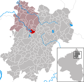
 DreifeldenLocation of Dreifelden within Westerwaldkreis district
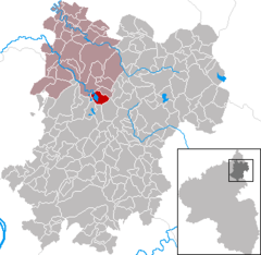
Coordinates 50°35′29″N 7°50′10″E / 50.59139°N 7.83611°ECoordinates: 50°35′29″N 7°50′10″E / 50.59139°N 7.83611°E Administration Country Germany State Rhineland-Palatinate District Westerwaldkreis Municipal assoc. Hachenburg Mayor Andreas Weber (CDU) Basic statistics Area 5.10 km2 (1.97 sq mi) Elevation 416 m (1365 ft) Population 284 (31 December 2010)[1] - Density 56 /km2 (144 /sq mi) Other information Time zone CET/CEST (UTC+1/+2) Licence plate WW Postal code 57629 Area code 02666 Website www.dreifelden.de Dreifelden is an Ortsgemeinde – a community belonging to a Verbandsgemeinde – in the Westerwaldkreis in Rhineland-Palatinate, Germany. The name translates literally to English as "three fields".
Contents
Geography
Location
On the southern boundary of the Verbandsgemeinde of Hachenburg – a kind of collective municipality – in the northwest Westerwaldkreis lies Dreifelden, on the biggest lake found on the Westerwald Lake Plateau (Westerwälder Seenplatte), the Dreifelder Weiher. The Verbandsgemeinde to which the community belongs has its seat in the like-named town.
History
In 1319, Dreifelden had its first documentary mention.
In the center of the village stands the Threebendchurch, the oldest stone church of the Westerwald. The beginnings reach until the soon romanic times around the year 1000 back, whereby the church up until the Reformation time was used as walldrive-church.
Politics
Community council
The council is made up of 9 council members, including the extraofficial mayor (Bürgermeister), who were elected in a majority vote in a municipal election on 7 June 2009.
Economy and infrastructure
Transport
Dreifelden is linked to the long-distance road network by Bundesstraße 8, which joins the community to the middle centres of Hachenburg (11 km) and Altenkirchen (26 km). The Autobahn interchanges Mogendorf und Dierdorf on the A 3 can be reached over Bundesstraßen 8 and 413. The Hennef interchange on the A 5 (AS 60) can be reached directly on Bundesstraße 8.
References
- ^ "Bevölkerung der Gemeinden am 31.12.2010" (in German). Statistisches Landesamt Rheinland-Pfalz. 31 December 2010. http://www.statistik.rlp.de/fileadmin/dokumente/berichte/A1033_201022_hj_G.pdf.
External links
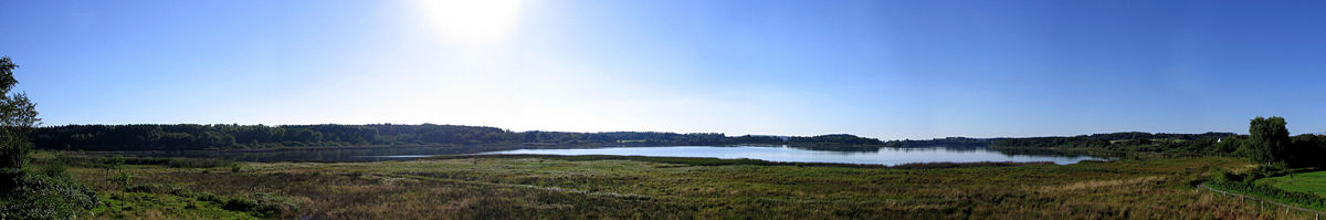 Panorama of the Dreifelder Weiher
-
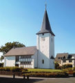
Church in Dreifelden
-
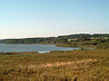
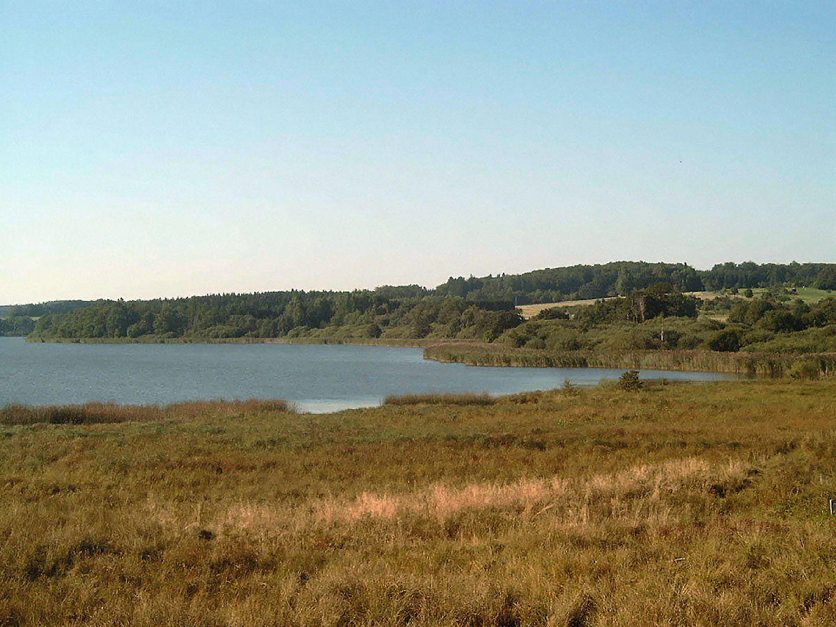
Dreifelder Weiher
-
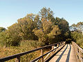
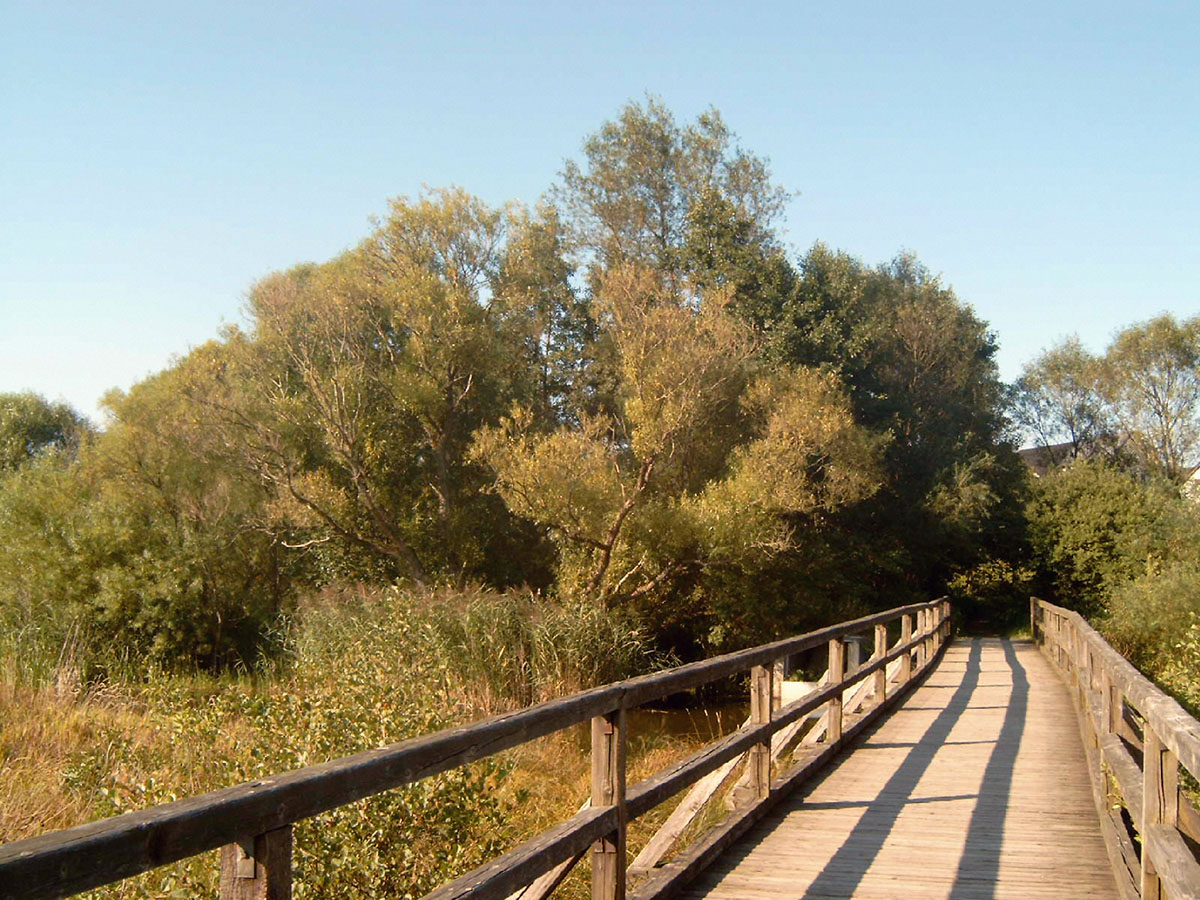
Weiherbrücke (“pond bridge”) Dreifelden
- This article incorporates information from the German Wikipedia.
Categories:- Municipalities in Rhineland-Palatinate
- Koblenz region geography stubs


Wikimedia Foundation. 2010.