- Moschheim
-
Moschheim 

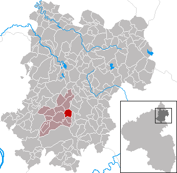
 MoschheimLocation of Moschheim within Westerwaldkreis district
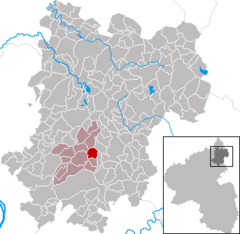
Coordinates 50°28′57″N 7°50′30″E / 50.4825°N 7.84167°ECoordinates: 50°28′57″N 7°50′30″E / 50.4825°N 7.84167°E Administration Country Germany State Rhineland-Palatinate District Westerwaldkreis Municipal assoc. Wirges Mayor Thomas Fein Basic statistics Area 3.44 km2 (1.33 sq mi) Elevation 272 m (892 ft) Population 789 (31 December 2010)[1] - Density 229 /km2 (594 /sq mi) Other information Time zone CET/CEST (UTC+1/+2) Licence plate WW Postal code 56424 Area code 02602 Website www.moschheim.de Moschheim is an Ortsgemeinde – a community belonging to a Verbandsgemeinde – in the Westerwaldkreis in Rhineland-Palatinate, Germany.
Contents
Geography
Location
The community lies north of Montabaur on the Kannenbäckerstraße (“Jug Bakers’ Road”, a reference to the local ceramics industry). The community has since 1971 belonged to what was then the newly founded Verbandsgemeinde of Wirges, a kind of collective municipality. Its seat is in the like-named town.
In the north of the municipal area stands the Malberg, which at 422 m above sea level is one of the greatest elevations in the area.
History
In 1362, Moschheim had its first documentary mention.
Politics
Community council
The council is made up of 13 council members, including the extraofficial mayor (Bürgermeister), who were elected in a majority vote in a municipal election on 13 June 2004.
Economy and infrastructure
Transport
East of the community runs Bundesstraße 255, linking Montabaur and Rennerod. The nearest Autobahn interchange is Montabaur on the A 3 (Cologne–Frankfurt), some 3 km away. The nearest InterCityExpress stop is the railway station at Montabaur on the Cologne-Frankfurt high-speed rail line.
References
- ^ "Bevölkerung der Gemeinden am 31.12.2010" (in German). Statistisches Landesamt Rheinland-Pfalz. 31 December 2010. http://www.statistik.rlp.de/fileadmin/dokumente/berichte/A1033_201022_hj_G.pdf.
External links
- Moschheim (German)
- This article incorporates information from the German Wikipedia.
Categories:- Municipalities in Rhineland-Palatinate
- Koblenz region geography stubs

Wikimedia Foundation. 2010.