- Oklahoma State Highway 82
-
State Highway 82
Route information Maintained by ODOT Section 1 Length: 49.4 mi (79.5 km) South end: 
 SH-1/63 west of Talihina
North end:  SH-9 in Stigler
Section 2 Length: 99.5 mi (160.1 km) South end:  I-40 in Vian
Highway system Oklahoma State Highways
Oklahoma turnpike system←  US-81
US-81US-83  →
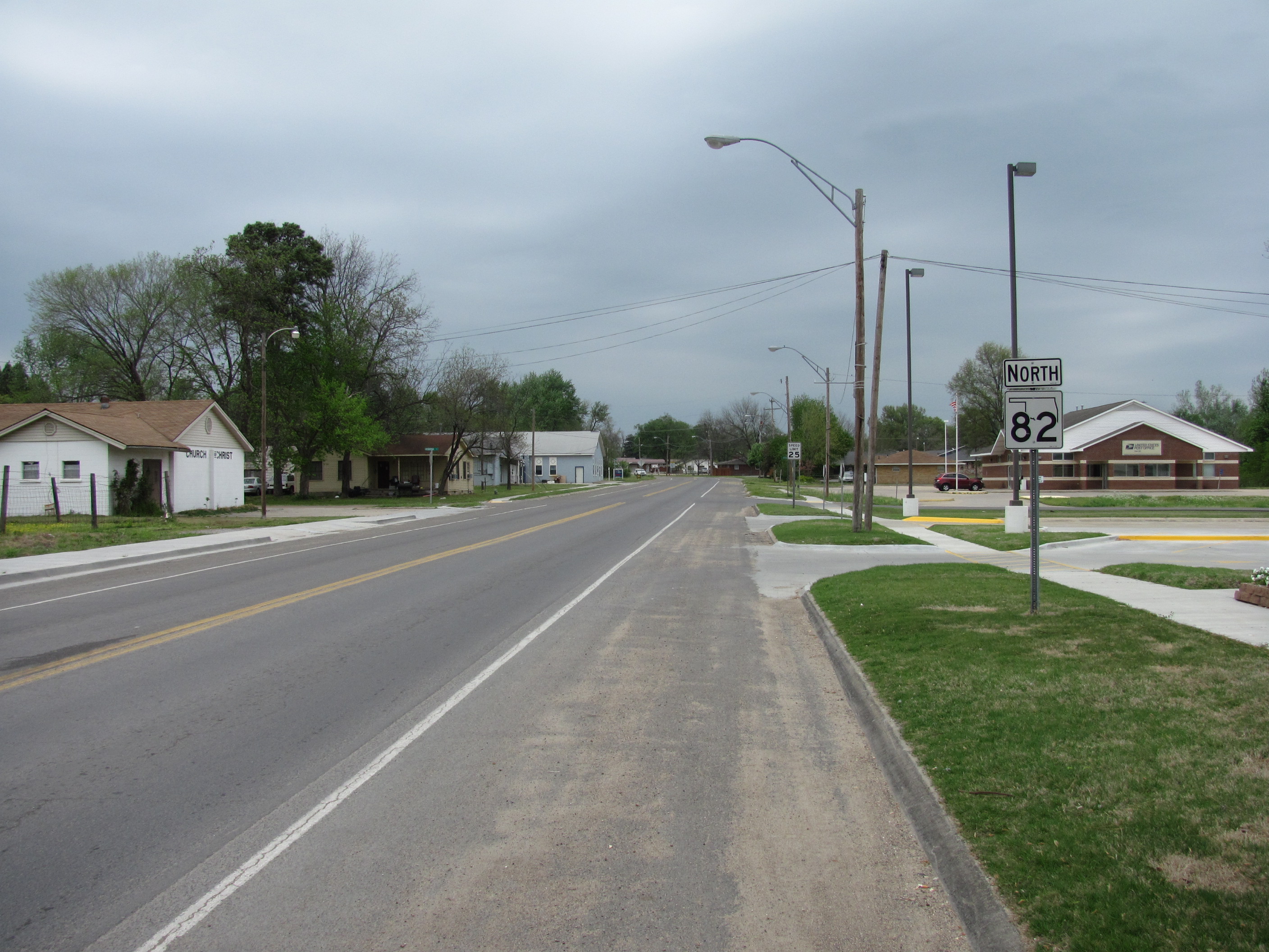
→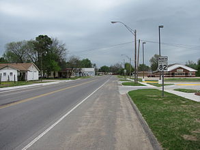 Northbound in Vian, Oklahoma
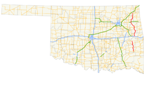
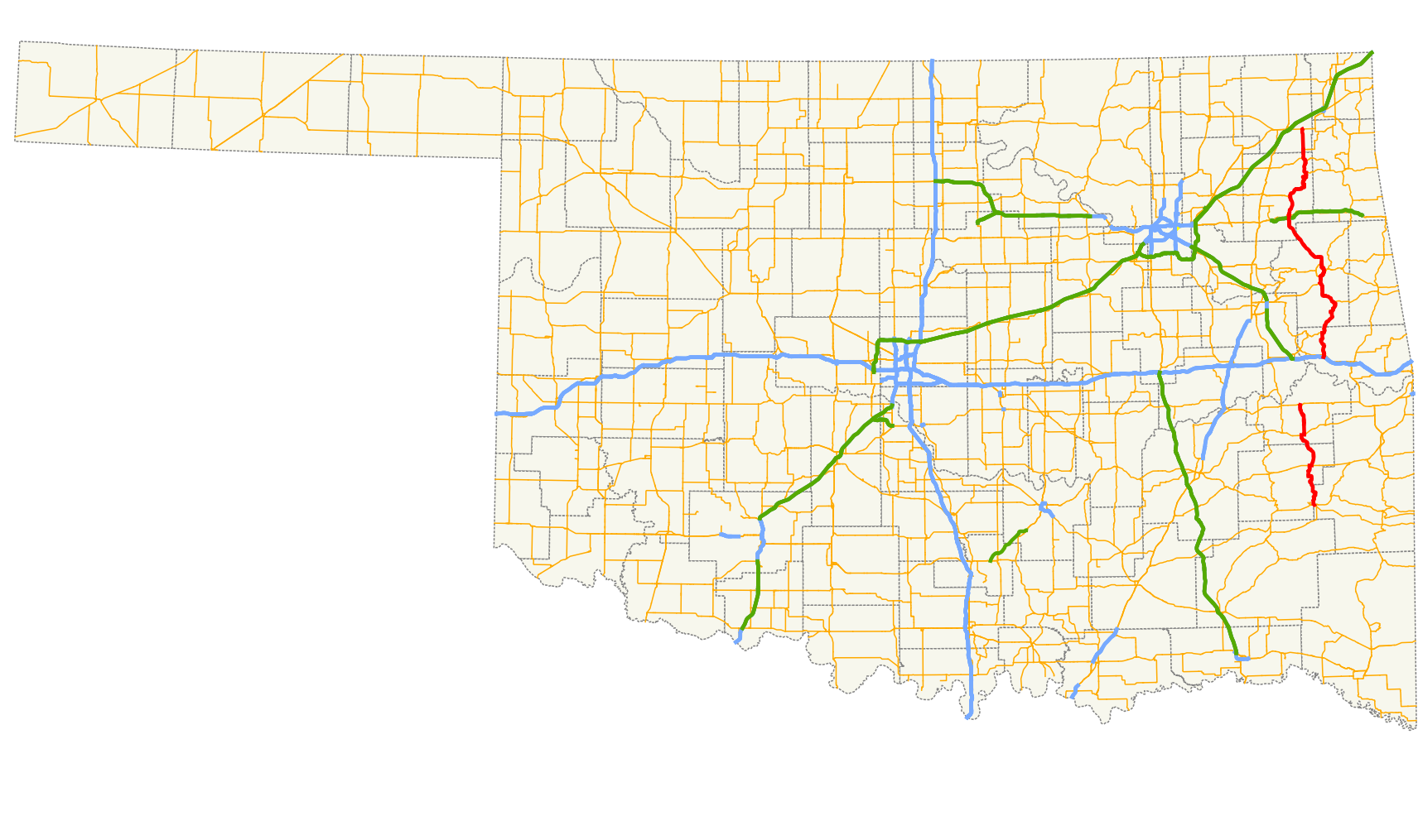
State Highway 82, abbreviated to SH-82 or OK-82, is a state highway in Oklahoma. It runs for 49.4 miles[1](79.5 km) north–south during its southern segment; and 99.5 miles[2] (160.13 km) north–south during its northern segment.
Contents
Route description
Southern section
The southern SH-82 begins at SH-1 and SH-63 in Le Flore County west of Talihina. It then heads north from there, entering Latimer County and running along the west side of Bengal. Near Red Oak, it shares a brief concurrency US-270. North of there, it runs east of the Sansbois Mountains, meeting SH-31 at Lequire. From there, SH-82 continues north until the southern section ends at a junction with SH-9 in Stigler.
Northern section
The northern SH-82 begins at Interstate 40 exit 297 just south of Vian. In Vian, SH-82 meets US-64. Six miles north of Vian, SH-82 runs through Box before meeting SH-100 and forming a concurrency with it on the east shore of Lake Tenkiller. After splitting from SH-100, SH-82 heads through Keys before forming another concurrency, this time with US-62 and SH-10. The highways then enter Tahlequah, where SH-82 splits off from the other two routes.
SH-82 runs through downtown Tahlequah before meeting SH-51 SPUR in the northwestern part of the city. SH-82 turns northwest, running through Gideon and Peggs. It has an interchange with the Cherokee Turnpike south of Locust Grove. In Locust Grove, it meets Scenic U.S. Highway 412. It then heads towards Salina, where it begins a concurrency with SH-20. The two routes split up after running through Spavinaw. SH-82 then has a brief concurrency with SH-28 west of Langley. It serves as the western terminus of SH-85 west of Ketchum. SH-82 itself ends seven miles (11 km) north of there at a junction with US-60/69 east of Vinita.
Junction list
Southern section
County Location Mile[1] Destinations Notes Le Flore 0.0 SH-1/63South section's southern terminus Latimer Red Oak 17.6  US-270
Western end of US-270 concurrency 18.3 US-270Eastern end of US-270 concurrency Haskell Lequire 37.4  SH-31
SH-31Western end of SH-31 concurrency 38.2 SH-31Eastern end of SH-31 concurrency Stigler 49.4 SH-9South section's northern terminus 1.000 mi = 1.609 km; 1.000 km = 0.621 mi Northern section
County Location Mile[2] Destinations Notes Sequoyah Vian 0.0 I-40North section's southern terminus 0.7  US-64
US-649.2  SH-100
Southern end of SH-100 concurrency Cherokee 22.7 SH-100Northern end of SH-100 concurrency 32.4 
 US-62/SH-10
Southern end of US-62/SH-10 concurrency Tahlequah 34.5  SH-51
SH-51Southern end of SH-51 concurrency 36.8 US-62/SH-10/51Northern end of US-62/SH-10/SH-51 concurrency ? 
SH-51 SPURMayes 61.5  Cherokee Turnpike/US-412
Locust Grove 62.2  US-412 Scenic
Salina 69.1  SH-20
SH-20Southern end of SH-20 concurrency 83.7 SH-20Northern end of SH-20 concurrency 88.6  SH-28
SH-28Southern end of SH-28 concurrency Craig 89.4 SH-28Northern end of SH-28 concurrency 99.5 
 US-60/69
North section's northern terminus 1.000 mi = 1.609 km; 1.000 km = 0.621 mi
Concurrency terminus • Closed/Former • Incomplete access • UnopenedReferences
- ^ a b Stuve, Eric. "OK-82s". OKHighways. http://www.okhighways.com/ok82s.html. Retrieved 2007-06-11.
- ^ a b Stuve, Eric. "OK-82n". OKHighways. http://www.okhighways.com/ok82n.html. Retrieved 2007-06-11.
External links
Roads of Fort Smith Interstate Highways 
U.S. Routes Arkansas Highways Oklahoma State Highways Categories:- State highways in Oklahoma


Wikimedia Foundation. 2010.