- Mohawk Trail
-
Mohawk Trail
 The Mohawk Trail, with Todd Mountain in the background
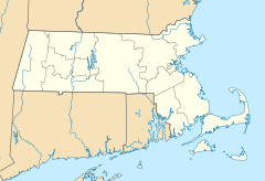

Nearest city: Florida and Savoy, Massachusetts Coordinates: 42°38′27″N 72°57′13″W / 42.64083°N 72.95361°WCoordinates: 42°38′27″N 72°57′13″W / 42.64083°N 72.95361°W Area: 2,275 acres (921 ha) Governing body: State NRHP Reference#: 73000283
[1]Added to NRHP: April 03, 1973 The Mohawk Trail began as an Native American trade route which connected Atlantic tribes with tribes in Upstate New York and beyond. It followed the Millers River, Deerfield River and crossed the Hoosac Range.
Today the Mohawk Trail is part of Massachusetts Route 2, which was created as one of the United States' first scenic highways. It follows much of the original Indian trail, from Orange, Massachusetts to Williamstown, Massachusetts, for about 65 miles (105 km) through the Berkshire mountains.
Around the western portion of the road is the Mohawk Trail State Forest, a 6,400-acre (26 km2) forest, known for its camping, and occasional encounters with bobcats and black bears.
The road passes exceptionally close to Vermont, and to many locals, a common scenic drive follows most of the Trail, and departs north into Vermont to Harriman Reservoir or Ball Mountain State Park.
The Mohawk Trail was added to the National Register of Historic Places on April 03, 1973, reference number 73000283.
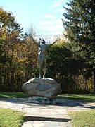 "Hail to the Sunrise" statue, Mohawk Park
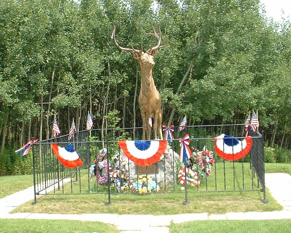
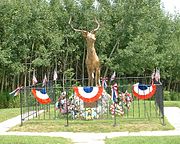 "The Elk On The Trail" statue, Whitcomb's Summit
 The Western Summit near the end of the Mohawk Trail, looking towards North Adams and the Taconic Range
References
- ^ "National Register Information System". National Register of Historic Places. National Park Service. 2009-03-13. http://nrhp.focus.nps.gov/natreg/docs/All_Data.html.
External links
U.S. National Register of Historic Places Topics Lists by states Alabama • Alaska • Arizona • Arkansas • California • Colorado • Connecticut • Delaware • Florida • Georgia • Hawaii • Idaho • Illinois • Indiana • Iowa • Kansas • Kentucky • Louisiana • Maine • Maryland • Massachusetts • Michigan • Minnesota • Mississippi • Missouri • Montana • Nebraska • Nevada • New Hampshire • New Jersey • New Mexico • New York • North Carolina • North Dakota • Ohio • Oklahoma • Oregon • Pennsylvania • Rhode Island • South Carolina • South Dakota • Tennessee • Texas • Utah • Vermont • Virginia • Washington • West Virginia • Wisconsin • WyomingLists by territories Lists by associated states Other  Category:National Register of Historic Places •
  Portal:National Register of Historic Places
This article about a National Register of Historic Places listing in Berkshire County Massachusetts is a stub. You can help Wikipedia by expanding it.