- River Ouzel
-
"River Lovat" redirects here. For the river in Russia, see Lovat River.

The River Ouzel (
 /ˈuːzəl/), also known as the River Lovat, is a river in England, and a tributary of the River Great Ouse. It rises in the Chiltern Hills and flows 20 miles north to join the Ouse at Newport Pagnell.
It is usually called the River Ouzel, except near Newport Pagnell where both names are used. The name Lovat was recorded (in the form "Lovente") in the thirteenth century,[1] a map of 1724 marks the river as "Lowsel R",[2] and a map surveyed in 1765 shows it as "Ouzel River".[3] The modern Ordnance Survey uses only the name Ouzel, except north of Willen Lake where it is marked as "River Ouzel or Lovat".[4]
Course
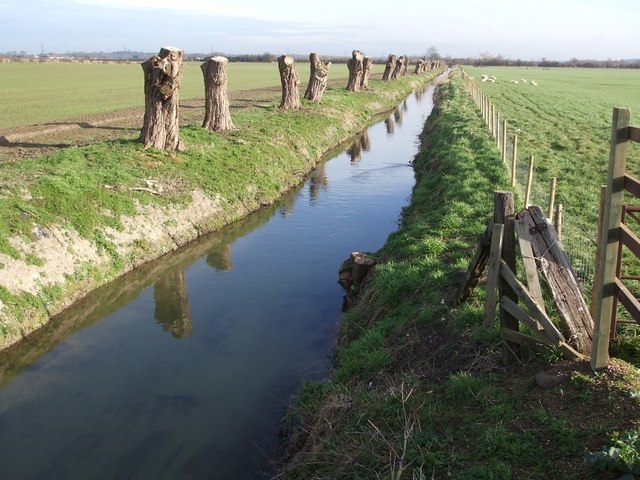
From springs just north of Dagnall, the river initially forms the boundary between Bedfordshire and Buckinghamshire. It is joined by the Ouzel Brook from Houghton Regis, and by Whistle Brook (also known at Ivinghoe as Whizzle Brook)[5] from Pitstone. Near Grove Lock, just south of Leighton Buzzard, it was once joined by Ledburn Brook, which has since been diverted into the Grand Junction Canal (now the Grand Union Canal). At Leighton Buzzard, the river is joined by Clipstone Brook from Milton Bryan via Hockliffe and Clipstone, and to the north of the town the excess water from the canal is released into the river at the Twelve Arches. The river then flows through Milton Keynes, where it is joined by Water Eaton Brook, and as it exits the town it is joined by Crawley Brook from Husborne Crawley. Finally, the river flows through Newport Pagnell to its junction with the Great Ouse.
References
- ^ Eilert Ekwall, English River Names, Oxford University Press, 1928, p. 263.
- ^ Herman Moll, Bedfordshire, reprinted in M. F. Hopkinson, Old County Maps of Bedfordshire, Luton Museum & Art Gallery, 1976, p. 21.
- ^ Thomas Jefferys, The County of Bedford, reprinted by Bedfordshire Historical Record Society, 1983.
- ^ Ordnance Survey, Explorer 192, edition A, 1998.
- ^ F. G. Gurney, Yttingaford and the tenth-century bounds of Chalgrave and Linslade, Bedfordshire Historical Record Society 5, 1920, p. 175, note 25.
River Great Ouse, England Counties Flows into Towns
(upstream to downstream)Brackley · Buckingham · Old Stratford · Milton Keynes (Stony Stratford • Wolverton • New Bradwell) · Newport Pagnell · Olney · Kempston · Bedford · St Neots · Godmanchester · Huntingdon · St Ives · Ely · Littleport · Downham Market · King's Lynn
Major tributaries
(upstream to downstream by confluence)River Tove · River Ouzel (or Lovat) · River Ivel · River Kym · Old Bedford River · New Bedford River · River Cam · River Lark · River Little Ouse · River Wissey
Major bridges
(upstream to downstream)Harrold bridge · A428 Turvey bridge · A428 Bromham bypass · A6 Bedford Town Bridge · A421 Bedford bypass · Great Barford Bridge · A428 Bridge St Neots · St Neots Town Bridge · Godmanchester Chinese Bridge · A14 bridge, River Great Ouse · Huntingdon Old Bridge · St Ives Bridge
 Rivers and Watercourses of Buckinghamshire
Coordinates: 51°52′56″N 0°38′08″W / 51.88222°N 0.63556°WCategories:- Milton Keynes
- Rivers of Bedfordshire
- Rivers of Buckinghamshire
- Tributaries of the River Great Ouse
- Bedfordshire geography stubs
- Buckinghamshire geography stubs
Wikimedia Foundation. 2010.