- Greenview No. 16, Alberta
-
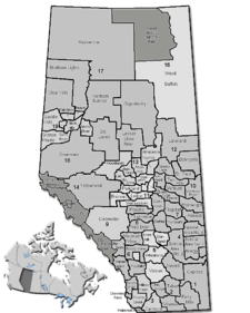
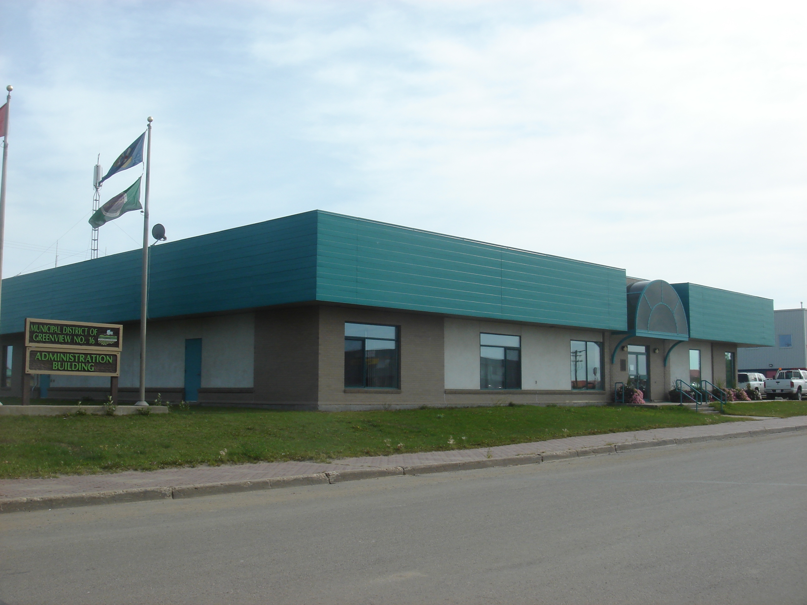
Municipal District of Greenview No. 16 — Municipal district — Municipal Building in Valleyview Location of Greenview No. 16 in Alberta
Coordinates: 55°04′7″N 117°16′6″W / 55.06861°N 117.26833°WCoordinates: 55°04′7″N 117°16′6″W / 55.06861°N 117.26833°W Country  Canada
Province  Alberta
Region Northern Alberta Census division No. 18 Established 1994 Government[1] – Reeve Tony Yelenik – Governing body M.D. of Greenview Council – Municipal seat Valleyview Area – Total 32,994.14 km2 (12,739.1 sq mi) Population (2006)[2] – Total 5,464 – Density 0.2/km2 (0.5/sq mi) – Dwellings 2,064 Time zone MST (UTC-7) Website Greenview No. 16 The Municipal District of Greenview No. 16 is a municipal district in northwest Alberta, Canada.
It covers the full extent of Census Division 18. The municipal seat is in Valleyview.
Contents
Demographics
In 2006, Greenview No. 16 had a population of 5,464 living in 2,064 dwellings, a 0.5% increase from 2001. The municipal district has a land area of 32,994.14 km2 (12,739.11 sq mi) and a population density of 0.2 /km2 (0.52 /sq mi).[2]
In 2001, the municipal district had a population of 5,439 in 2,002 dwellings, a 0.1% increase from 1996. On a surface of 33,383.92 km² it had a density of 0.2 inhabitants/km².[3]
Communities
The following communities are located in this municipal district:[4]
Towns
Hamlets
See also
- List of communities in Alberta
- List of municipal districts in Alberta
References
- ^ Alberta Municipal Affairs: Municipal Officials Search
- ^ a b Statistics Canada (Census 2006). "Greenview No. 16 - Community Profile". http://www12.statcan.ca/english/census06/data/profiles/community/Details/Page.cfm?Lang=E&Geo1=CSD&Code1=4818015&Geo2=PR&Code2=48&Data=Count&SearchText=Greenview%20No.%2016&SearchType=Begins&SearchPR=01&B1=All&GeoLevel=&GeoCode=4818015. Retrieved 2007-06-11.
- ^ Greenview community profile - Statistics Canada. 2002. 2001 Community Profiles. Released June 27, 2002. Last modified: 2005-11-30. Statistics Canada Catalogue no. 93F0053XIE
- ^ Municipal Profile - Alberta Municipal Affairs
External links
- Municipal District of Greenview (Official site)
Categories:


Wikimedia Foundation. 2010.