- Netherseal
-
Coordinates: 52°42′54″N 1°34′37″W / 52.715°N 1.577°W
Netherseal 
St. Peter's Church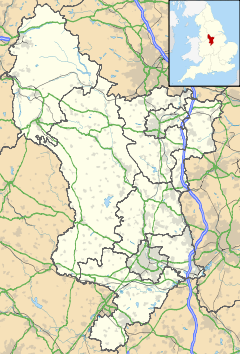
 Netherseal
Netherseal shown within DerbyshireOS grid reference SK286131 District South Derbyshire Shire county Derbyshire Region East Midlands Country England Sovereign state United Kingdom Post town SWADLINCOTE Postcode district DE12 Police Derbyshire Fire Derbyshire Ambulance East Midlands EU Parliament East Midlands List of places: UK • England • Derbyshire  Netherseal Hall, Derbyshire in the early 20th Century.
Netherseal (or 'Netherseale') is the southernmost village of the English county of Derbyshire, less than 2 miles from the neighbouring county of Leicestershire, and is close to the A444 and the important M42 motorway, on the banks of the River Mease[1].It is the final resting place of Sir Nigel Gresley and the birthplace of the historian, Eben William Robertson. It has a couple of 17th century almshouses, but The Tudor Hall, once the home of the Gresley family, is now long gone having been demolished in 1933.[2].
References
See also
External links
 Media related to Netherseal at Wikimedia Commons
Ceremonial county of Derbyshire Unitary authorities Boroughs or districts Amber Valley • Bolsover • Chesterfield • Derbyshire Dales • Erewash • High Peak • North East Derbyshire • South DerbyshireMajor settlements Alfreton • Ashbourne • Bakewell • Belper • Bolsover • Buxton • Chapel-en-le-Frith • Chesterfield • Clay Cross • Darley Dale • Derby • Dronfield • Eckington • Glossop • Hadfield • Heanor • Ilkeston • Killamarsh • Langley Mill • Long Eaton • Matlock • Melbourne • New Mills • Ripley • Sandiacre • Shirebrook • Staveley • Swadlincote • Whaley Bridge • Wirksworth
See also: List of civil parishes in DerbyshireRivers Topics Categories:- Villages in Derbyshire
- Derbyshire geography stubs


Wikimedia Foundation. 2010.