- New York State Route 107
-
NYS Route 107
Route information Maintained by NYSDOT Length: 17.07 mi[2] (27.47 km) Existed: 1930[1] – present Major junctions South end: Merrick Road in Massapequa  Southern State Parkway in Massapequa
 NY 135 in Plainedge
 Northern Parkway in Jericho
 I-495 in Jericho
North end: Mill Street in Glen Cove Location Counties: Nassau Highway system Numbered highways in New York
Interstate • U.S. • N.Y. (former) • Reference • County←  NY 106
NY 108  →
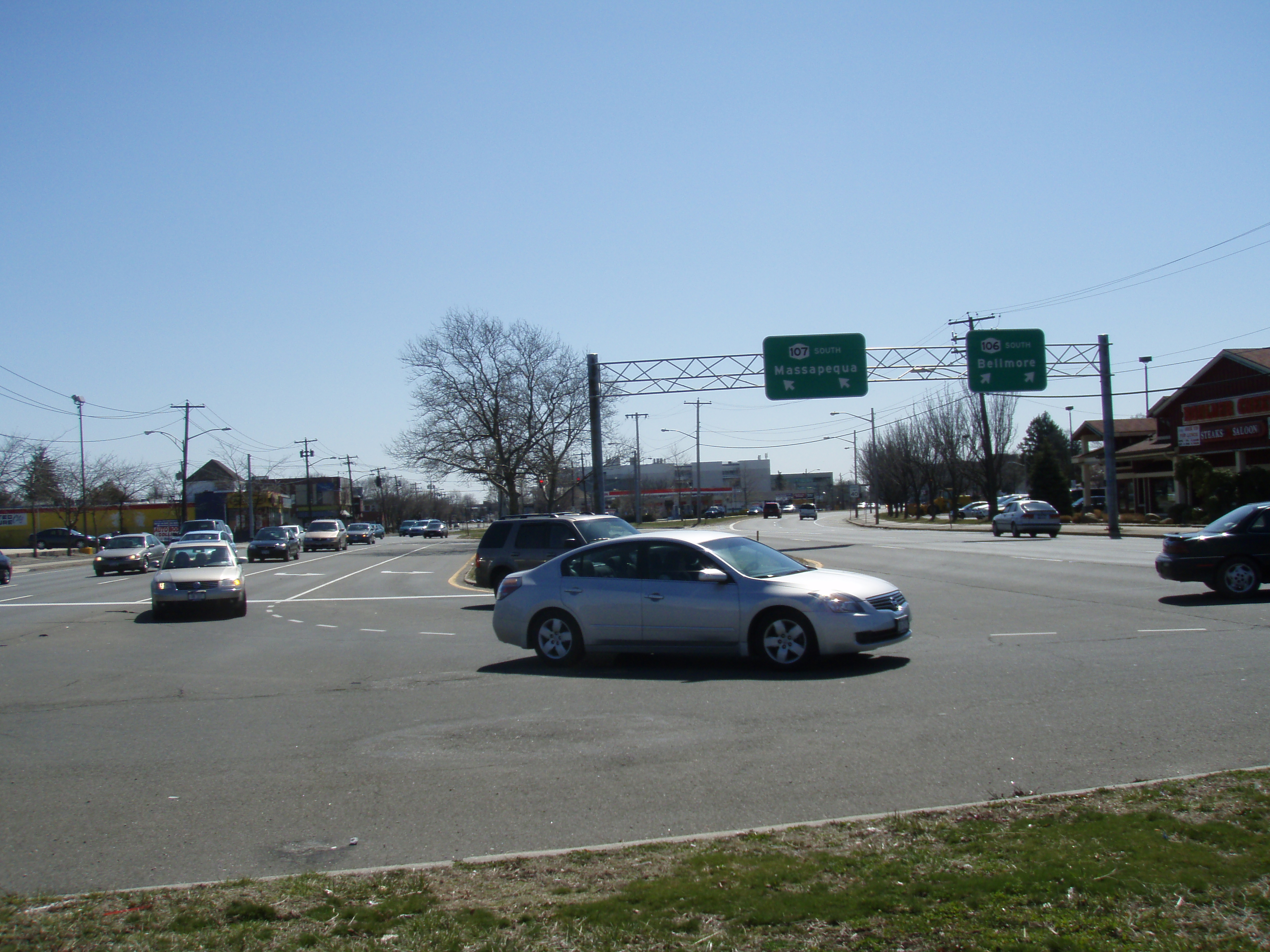
→New York State Route 107 (NY 107) is a state highway located entirely within Nassau County, New York, in the United States. It runs from Merrick Road in Massapequa to Mill Street and Brewster Avenue in the city of Glen Cove near City Hall. NY 107 is the only state route on Long Island to enter a city other than New York City.
Contents
Route description
 Southern terminus of Route 106–107 concurrency in Hicksville
Beginning at Merrick Road in Massapequa as Massapequa–Hicksville Road, it veers left in a northwesterly direction at the intersection of Broadway, which moves northeast, both before intersecting with Sunrise Highway.
Continuing through North Massapequa after its intersection with the east end of NY 105, it encounters two interchanges, first with the Southern State Parkway, then with Seaford – Oyster Bay Expressway, before veering to the left again in Plainedge, south of Hempstead Turnpike. After its brief entry into the town of Hempstead, Route 107 is renamed South Broadway, where it passes by the former Grumman Bethpage Airport. Shortly after crossing under Hicksville Station as North Broadway where the Main Line and Port Jefferson Branch of the Long Island Rail Road split up, Route 107 overlaps NY 106. The two routes encounter Broadway Mall, as well as the interchanges with Northern State Parkway and Long Island Expressway, also in Hicksville. The Parkway and Expressway interchanges are so close together that the distance between them can be measured not in miles, but in feet.
Immediately after an unnumbered cloverleaf interchange with NY 25 (Jericho Turnpike) in Jericho, NY 106 breaks away from NY 107 and continues as a four-lane divided highway as it heads for Oyster Bay, while NY 107 narrows down to two lanes on its way to Glen Cove, until reaching and joining up with Greenvale – Glen Cove Road.
History
NY 107 was assigned as part of the 1930 renumbering of state highways in New York, extending from the hamlet of Massapequa on South Oyster Bay to the city of Glen Cove on Long Island Sound.[1] Originally, NY 107 followed Cedar Swamp Road and Sea Cliff Avenue (now Christopher Columbus Avenue) to Sea Cliff, where it ended at the junction of Sea Cliff Avenue and Prospect Avenue.[3] It was realigned ca. 1939 to continue to Glen Cove by way of Cedar Swamp Avenue and Glen Street.[4][5] In the mid-1960s, the northernmost segment of NY 107 was moved onto the Glen Cove Arterial Highway, a new bypass of Glen Street.[6] Some[who?] have suggested the highway would connect to one of two proposed bridges to Rye across the Long Island Sound.[7]
Major intersections
The entire route is in Nassau County.
Location Mile[2] Destinations Notes Massapequa 0.00 Merrick Road Formerly part of NY 27A 0.65  NY 27 (Sunrise Highway)
1.14  NY 105
Eastern terminus of NY 105 2.58 Southern State ParkwayExits 29 N-S (Southern State Parkway) Plainedge 3.13 NY 135Exit 5 (NY 135) 4.20  NY 24 (Bethpage Turnpike)
Levittown 5.14 Wantagh Avenue Former northern terminus of NY 115 Hicksville 8.11 NY 106 southSouthern terminus of NY 106 / NY 107 overlap Jericho 8.80 Northern ParkwayExits 35 N-S (Northern Parkway) 8.94 I-495Exits 41 N-S (I-495) 9.48  NY 25
NY 25Grade-separated interchange 9.62 NY 106 northNorthern terminus of NY 106 / NY 107 overlap East Norwich 13.18  NY 25A (Northern Boulevard)
Glen Head 15.01 Glen Cove Road Merges with Glen Cove Road from here to Glen Cove Arterial Highway Glen Cove 17.07 Pulaski Street 1.000 mi = 1.609 km; 1.000 km = 0.621 mi References
- ^ a b Dickinson, Leon A. (January 12, 1930). "New Signs for State Highways". The New York Times: p. 136. http://select.nytimes.com/gst/abstract.html?res=F50A15F6355A147A93C0A8178AD85F448385F9. Retrieved July 18, 2010.
- ^ a b "2008 Traffic Data Report for New York State" (PDF). New York State Department of Transportation. June 16, 2009. p. 242. https://www.nysdot.gov/divisions/engineering/technical-services/hds-respository/NYSDOT_Traffic_Data_Report_2008.pdf. Retrieved January 10, 2010.
- ^ Texas Oil Company (1932). Texaco Road Map – New York (Map). Cartography by Rand McNally and Company.
- ^ Esso (1938). New York Road Map for 1938 (Map). Cartography by General Drafting.
- ^ Standard Oil Company (1939). New York (Map). Cartography by General Drafting.
- ^ Anderson, Steve. "State Routes on Long Island". NYCRoads. http://www.nycroads.com/roads/state_long-island/. Retrieved March 18, 2010.
- ^ Anderson, Steve. "Long Island Sound Bridge Study (Part Two)". NYCRoads. http://www.nycroads.com/crossings/LI-sound-2/. Retrieved March 18, 2010.
External links
Categories:- State highways in New York
- Transportation in Nassau County, New York

Wikimedia Foundation. 2010.