- New York State Route 108
-
NYS Route 108
Harbor Road Route information Maintained by NYSDOT Length: 1.72 mi[3] (2.77 km) Existed: ca. 1932[1][2] – present Major junctions South end:  CR 11 in Cold Spring Harbor
North end:  NY 25A in Cold Spring Harbor
Location Counties: Suffolk Highway system Numbered highways in New York
Interstate • U.S. • N.Y. (former) • Reference • County←  NY 107
US 109  →
→New York State Route 108 (NY 108) is a 1.72-mile (2.77 km) long north–south state highway located on the Suffolk County side of the Suffolk-Nassau county line on Long Island, New York, United States. It is a spur route connecting NY 25A in Cold Spring Harbor to the Cold Spring Harbor station on the Long Island Rail Road's Port Jefferson line by way of Harbor Road. State maintenance of Harbor Road terminates at Pulaski Road (County Route 11), and the road continues into Nassau County as Woodbury Road (former CR 12). NY 108 is the shortest state highway on Long Island.
Contents
Route description
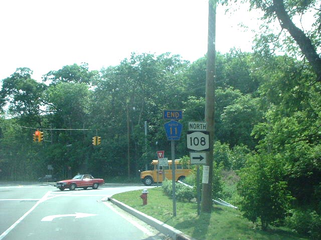
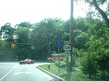 Route 108 at its southern terminus in Cold Spring Harbor facing westbound on County Route 11
Route 108 begins at an intersection with Suffolk County Route 11 (Woodbury Road) in the community of Cold Spring Harbor, New York. The station passes to the north of the Long Island Railroad's Cold Spring Harbor station as Harbor Road running along the Nassau–Suffolk County line. The route heads northward through a small residential neighborhood. At the intersection with Stillwell Lane, Route 108 southbound crosses into Nassau County, but soon curves away back into Suffolk. Soon after, the two-lane road continues into Trail View State Park, where the route becomes desolate, passing two local ponds. A short distance later, Route 108 enters a small region of houses and intersects with Lawrence Hill Road. At the intersection with Lawrence Hill, Route 108 turns westward and terminates at an intersection with NY 25A (North Hempstead Turnpike) in Cold Spring Harbor.[4]
History
NY 108 was assigned ca. 1932 and has not been altered since.[1][2]
Major intersections
The entire route is in Cold Spring Harbor, Suffolk County.
Mile[3] Destinations Notes 0.00 CR 111.72 NY 25A1.000 mi = 1.609 km; 1.000 km = 0.621 mi References
- ^ a b Kendall Refining Company (1931). New York (Map). Cartography by H.M. Gousha Company.
- ^ a b Texas Oil Company (1932). Texaco Road Map – New York (Map). Cartography by Rand McNally and Company.
- ^ a b "2008 Traffic Data Report for New York State" (PDF). New York State Department of Transportation. June 16, 2009. p. 242. https://www.nysdot.gov/divisions/engineering/technical-services/hds-respository/NYSDOT_Traffic_Data_Report_2008.pdf. Retrieved January 10, 2010.
- ^ Bing Maps (2009). Overview map of Route 108 (Map). Cartography by NAVTEQ. http://www.maps.bing.com/maps/?FORM=Z9LH7#JmNwPTQwLjg0NzMzMDI0MjM5NTM5NH4tNzMuNDU3MTA5NDQzODQzMzYmbHZsPTE0JnN0eT1yJnJ0cD1wb3MuNDAuODU4NDAxMDYwMTA0MzdfLTczLjQ2MTkwOTU5MjE1MTY0X1NSJTIwMjVBJTJDJTIwQ29sZCUyMFNwcmluZyUyMEhhcmJvciUyQyUyME5ZJTIwMTE3MjRfX19lX35wb3MuNDAuODM3MzAwNzkyMzM2NDY0Xy03My40NTIzMDkyOTU1MzUwOV9MaXJyLUNvbGQlMjBTcHJpbmclMjBIYXJib3IlMkMlMjBOWV9fX2VfJnJ0b3A9MH4wfjB+. Retrieved December 24, 2009.
External links
Categories:- State highways in New York
- Transportation in Suffolk County, New York

Wikimedia Foundation. 2010.