- New York State Route 115
-
NYS Route 115
Salt Point Turnpike Route information Maintained by NYSDOT, Dutchess County, and the city of Poughkeepsie Length: 12.50 mi[2] (20.12 km) Existed: April 1, 1980[1] – present Major junctions South end: 
 US 44 / NY 55 in Poughkeepsie
North end:  Taconic Parkway in Clinton
Location Counties: Dutchess Highway system Numbered highways in New York
Interstate • U.S. • N.Y. (former) • Reference • County←  NY 114
NY 116  →
→New York State Route 115 (NY 115) is a 12.50 miles (20.12 km) long state highway located entirely within Dutchess County, New York. The route runs from the U.S. Route 44/NY 55 in the city of Poughkeepsie along the former Salt Point Turnpike to an interchange with the Taconic State Parkway in Clinton. Route 115 throughout its length is maintained by the city of Poughkeepsie, Dutchess County (as County Route 75), and the New York State Department of Transportation. When Route 115 terminates at the Taconic State Parkway, the Salt Point Turnpike continues as County Route 17 four another four miles to NY 82 in Stanford. Route 115 was designated on April 1, 1980 as part of a maintenance swap by the New York State Department of Transportation, which took over the portion from Smith Street to the Taconic Parkway that was originally County Route 75. The portion of the turnpike from the Poughkeepsie city line to Innis Avenue was re-designated New York State Route 984A.
Contents
Route description
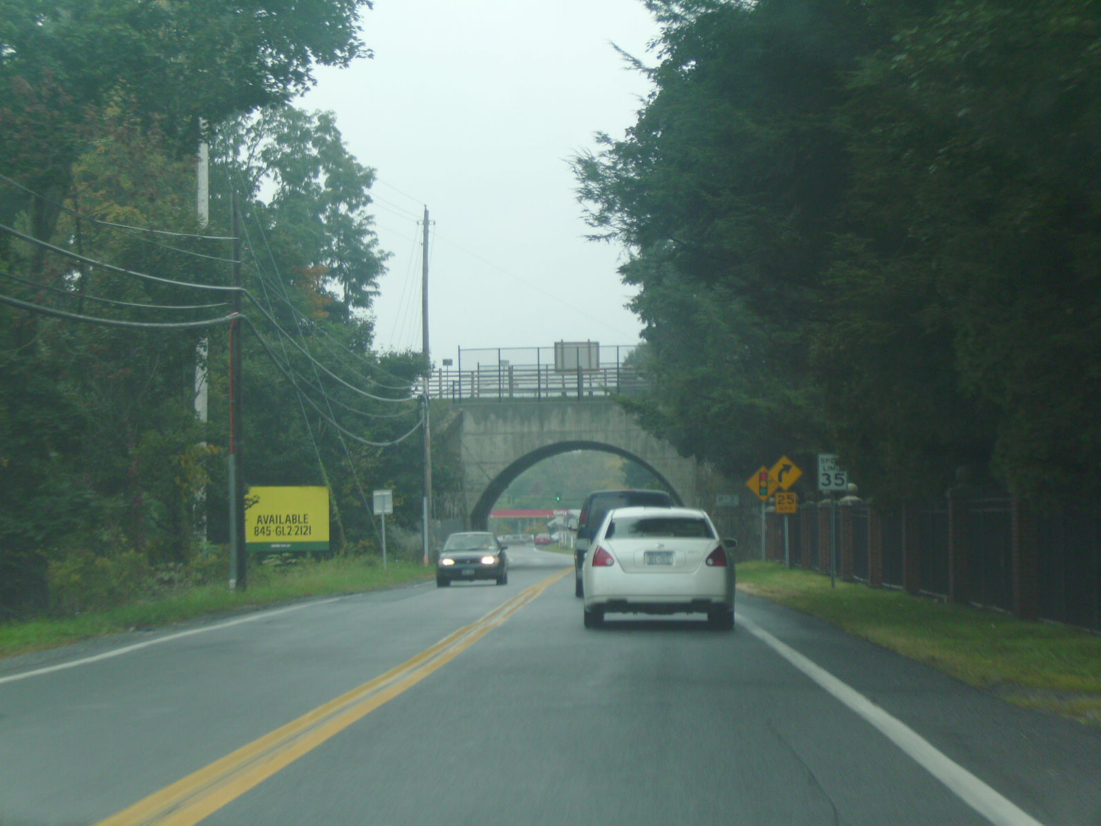
 Route 115 heading southbound along the Salt Point Turnpike at a railroad bridge
Route 115 begins at West Baker Street (eastbound US 44/NY 55) in eastern Poughkeepsie. As Worral Avenue, it heads north through the easternmost portion of the city. An intersection with West Maple Street (westbound US 44/NY 55) soon follows as the route becomes known as Innis Avenue. NY 115 continues on, passing King Street Park to the east before crossing into the town of Poughkeepsie at Arnold Road.[3] Here, maintenance of the roadway shifts from the city of Poughkeepsie to Dutchess County, which maintains the road as County Route 75. This designation continues north along NY 115 to the Salt Point Turnpike, where CR 75 ends and maintenance of NY 115 switches once more to the New York State Department of Transportation (NYSDOT).[4] NY 115 joins the Salt Point Turnpike northward, paralleling the St. Peter's Cemetery and passing near the Dutchess Community College as it enters Hyde Park.[3]
Across the town line, NY 115 intersects with both County Route 39, a connector route leading north toward the hamlet of Hyde Park, and County Route 16, a parallel route to NY 9G between Hyde Park and Clinton, as it turns northeast and crosses into Pleasant Valley. NY 115 then meets County Route 71 and County Route 73 in quick succession as it parallels County Route 72 northeast toward the hamlet of Salt Point. The two routes converge just outside of the hamlet, with NY 115 continuing onward to the hamlet. Once in Salt Point, NY 115 crosses over Wappingers Creek just south of an intersection with County Route 18 near the northern edge of the community. NY 115 progresses onward, paralleling Wappingers Creek into the town of Clinton, where NY 115 intersects County Route 14 as Wappingers Creek turns away from the Salt Point Turnpike. The Turnpike, as well as NY 115, continue northeast to the Taconic State Parkway, where NY 115 terminates at the northbound exit ramps to the parkway. Past the Taconic, the Salt Point Turnpike continues for another 4 miles (6 km) to NY 82 in Stanford as County Route 17.[3]
History
The portion of the Salt Point Turnpike from the city of Poughkeepsie to the Taconic State Parkway was initially maintained by Dutchess County. On April 1, 1980, ownership and maintenance of the highway was transferred to the state of New York as part of a highway maintenance swap between the two levels of government.[1] The portion of the Turnpike north of its junction with Innis Avenue was designated as NY 115 while the remaining section became NY 984A, an unsigned reference route. NY 115 also extended south along Innis Avenue to West Baker Street in Poughkeepsie as a county and city-maintained highway.[4][5][6]
Major intersections
The entire route is in Dutchess County.
Location Mile[2] Destinations Notes City of Poughkeepsie 0.00 US 44 / NY 55 east US 44 / NY 55 westHyde Park 3.59 County Route 39 (Cream Street) Town of Pleasant Valley 5.48 County Route 71 (West Road) Clinton 12.50 Taconic ParkwayInterchange; Salt Point Turnpike continues as County Route 17 1.000 mi = 1.609 km; 1.000 km = 0.621 mi References
- ^ a b New York State Legislature. "Highway Law, Article 12, Section 341". http://public.leginfo.state.ny.us/menugetf.cgi?COMMONQUERY=LAWS. Retrieved May 29, 2009.
- ^ a b "2008 Traffic Volume Report for New York State" (PDF). New York State Department of Transportation. June 16, 2009. p. 164. https://www.nysdot.gov/divisions/engineering/technical-services/hds-respository/NYSDOT%20TVR%202008%20by%20Route.pdf. Retrieved January 30, 2010.
- ^ a b c Google, Inc. Google Maps – New York State Route 115 (Map). Cartography by Google, Inc. http://maps.google.com/maps?hl=en&q=from:+RT-115/Worrall%20Ave%20@41.695430,%20-73.909230+to:+Salt%20Point%20Turnpike%20@41.824400,%20-73.772640. Retrieved February 27, 2008.
- ^ a b New York State Department of Transportation (1989). Poughkeepsie Digital Raster Quadrangle (Map). 1:24,000. http://www.nysgis.state.ny.us/gisdata/quads/drg24/dotpreview/index.cfm?code=aa47. Retrieved April 2, 2010.
- ^ State of New York (1981). I Love New York Tourism Map (Map). Cartography by Rand McNally and Company.
- ^ New York State Department of Transportation (January 2009) (PDF). Official Description of Highway Touring Routes, Bicycling Touring Routes, Scenic Byways, & Commemorative/Memorial Designations in New York State. https://www.nysdot.gov/divisions/operating/oom/transportation-systems/repository/2009%20tour-bk.pdf. Retrieved May 29, 2009.
External links
Categories:- State highways in New York
- Transportation in Dutchess County, New York

Wikimedia Foundation. 2010.