- New York State Route 106
-
NYS Route 106
Route information Maintained by NYSDOT Length: 13.28 mi[2] (21.37 km) Existed: 1930[1] – present Major junctions South end:  NY 105 in North Bellmore
 Southern State Parkway in North Bellmore
 I-495 in Jericho
North end: Bay Avenue in Oyster Bay Location Counties: Nassau Highway system Numbered highways in New York
Interstate • U.S. • N.Y. (former) • Reference • County← NY 105NY 107  →
→New York State Route 106 (NY 106) is a state highway in New York, running from NY 105 in North Bellmore to Oyster Bay. It runs through the Towns of Hempstead and Oyster Bay, including the hamlets of East Meadow, Levittown, Hicksville, Jericho, and East Norwich and the Villages of Brookville and Muttontown. The route is entirely within Nassau County.
Contents
Route description
Much of the route through Hicksville and Jericho overlaps NY 107, at which point it becomes known colloquially as the "One oh Six - One oh Seven". A large portion of the route, including the concurrency, is a multi-lane, divided highway. It runs through both the relatively dense, middle-class suburbs of southern and central Nassau County and the affluent, sparsely populated suburbs of the north shore. Along the way, it accesses the Hicksville Long Island Rail Road station and the Broadway Mall, also in Hicksville.
Immediately after an unnumbered cloverleaf interchange with Jericho Turnpike, NY 107 breaks away from NY 106 and continues as a two-lane highway as it heads for the city of Glen Cove, while NY 106 continues as a four-lane highway. At some point north of NY 25A, the road narrows down to two lanes on its way to Oyster Bay.
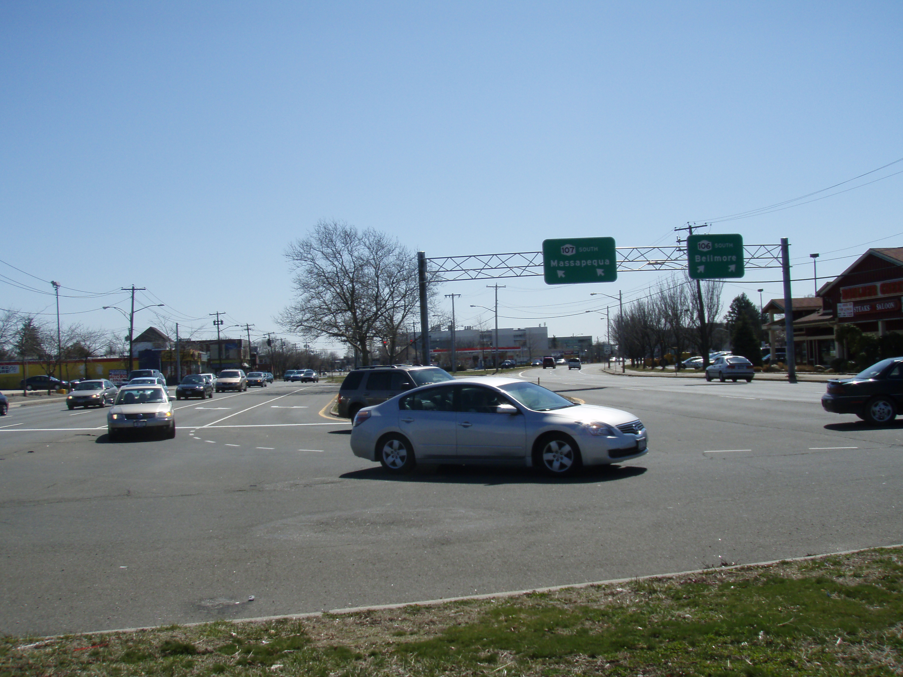
 Southern terminus of Route 106–107 concurrency in Hicksville
South of the route's terminus at NY 105 (which is also that route's western terminus), Newbridge Road continues to Bellmore as an unnumbered county road.
History
NY 106 was assigned as part of the 1930 renumbering of state highways in New York.[1] The route originally continued south along Newbridge Road to Merrick Road (then part of NY 27A) in Merrick;[3] however, it was truncated to end at NY 105 by 1970.[4]
Major intersections
The entire route is in Nassau County.
Location Mile[2] Destinations Notes North Bellmore 0.00 NY 105Western terminus of NY 105 0.19 Southern State ParkwayExits 25 N-S (Southern St. Pkwy) East Meadow 2.33 
 NY 24 (Hempstead Turnpike) to Wantagh Parkway
Hicksville 5.85 NY 107 southSouthern terminus of NY 106 / NY 107 overlap Jericho 6.54  Northern Parkway
Exits 35 N-S (Northern Pkwy) 6.68 I-495Exits 41 N-S (I-495) 7.22  NY 25
NY 25Grade-separated interchange 7.36 NY 107 northNorthern terminus of NY 106 / NY 107 overlap East Norwich 10.93  NY 25A (North Hempstead Turnpike)
Town of Oyster Bay 13.28 Bay Avenue 1.000 mi = 1.609 km; 1.000 km = 0.621 mi References
- ^ a b Standard Oil Company of New York (1930). Road Map of New York (Map). Cartography by General Drafting.
- ^ a b "2008 Traffic Data Report for New York State" (PDF). New York State Department of Transportation. June 16, 2009. p. 241. https://www.nysdot.gov/divisions/engineering/technical-services/hds-respository/NYSDOT_Traffic_Data_Report_2008.pdf. Retrieved January 10, 2010.
- ^ H.M. Gousha Company (1941). New York – Nassau County (Map). http://www.nycroads.com/history/1941_metro-6/. Retrieved June 25, 2010.
- ^ State of New York Department of Transportation (January 1, 1970) (PDF). Official Description of Touring Routes in New York State. http://www.greaternyroads.info/pdfs/state70.pdf. Retrieved June 25, 2010.
External links
Categories:- State highways in New York
- Transportation in Nassau County, New York

Wikimedia Foundation. 2010.