- Dartford (borough)
-
For the town within the Borough of Dartford, see Dartford.
Borough of Dartford — Non-metropolitan district, Borough — Dartford shown within Kent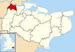
Sovereign state United Kingdom Constituent country England Region South East England Non-metropolitan county Kent Status Non-metropolitan district, Borough Admin HQ Dartford Incorporated 1 April 1974 Government - Type Non-metropolitan district council - Body Dartford Borough Council - Leadership Leader & Cabinet (Conservative) - MPs Gareth Johnson Area - Total 28.1 sq mi (72.77 km2) Area rank 253rd (of 326) Population (2010 est.) - Total 94,600 - Rank 239th (of 326) - Density 3,366.9/sq mi (1,300/km2) - Ethnicity 91.6% White
3.5% S.Asian
2.1% Black
1.7% Mixed Race
1.2% Chinese or OtherTime zone GMT (UTC0) - Summer (DST) BST (UTC+1) ONS code 29UD OS grid reference TQ538739 Website dartford.gov.uk Dartford is the name given to a local government district and borough in north west Kent, England, which takes its name from its administrative capital. It borders Thurrock, to the north across the River Thames; to the west lies the London Borough of Bexley; to the south Sevenoaks district; and the borough of Gravesham to the east. The population of the borough recorded in the 2001 census was 85,911.
The borough was formed on 1 April 1974 by the merger of the Municipal Borough of Dartford, Swanscombe Urban District, and part of Dartford Rural District. In the mid-1990s review of local government in Kent, consideration was given to merging the borough with that of adjoining Gravesham to form a new unitary authority. However the proposal proved unpopular amongst residents, and the two borough councils kept their identities.
Contents
Government
Since 2010, Dartford's MP is Gareth Johnson (Conservative) who replaced the outgoing Howard Stoate (Labour). The Mayor for the year May 2010 to May 2011 is Councillor Pat Coleman. The Leader of the Council, from February 2006, is Councillor Jeremy Kite (Conservative). Councillors represent the following seventeen wards, as amended in 2001:[1]
- Bean and Darenth
- Brent
- Castle
- Greenhithe
- Heath
- Joyce Green
- Joydens Wood
- Littlebrook
- Longfield, New Barn and Southfleet
- Newtown
- Princes
- Stone
- Sutton-at-Hone and Hawley
- Swanscombe
- Town
- West Hill
- Wilmington
NB the boundaries of these wards do not necessarily coincide with the parish boundaries, which follow
The following civil parishes are also included in the borough:
- Bean
- Darenth
- Longfield and New Barn
- Southfleet
- Stone
- Sutton-at-Hone and Hawley
- Swanscombe and Greenhithe
- Wilmington
In addition to the settlements named above, there is the urban village of Joydens Wood to the south-west of the town.
Communications in the borough
Railways
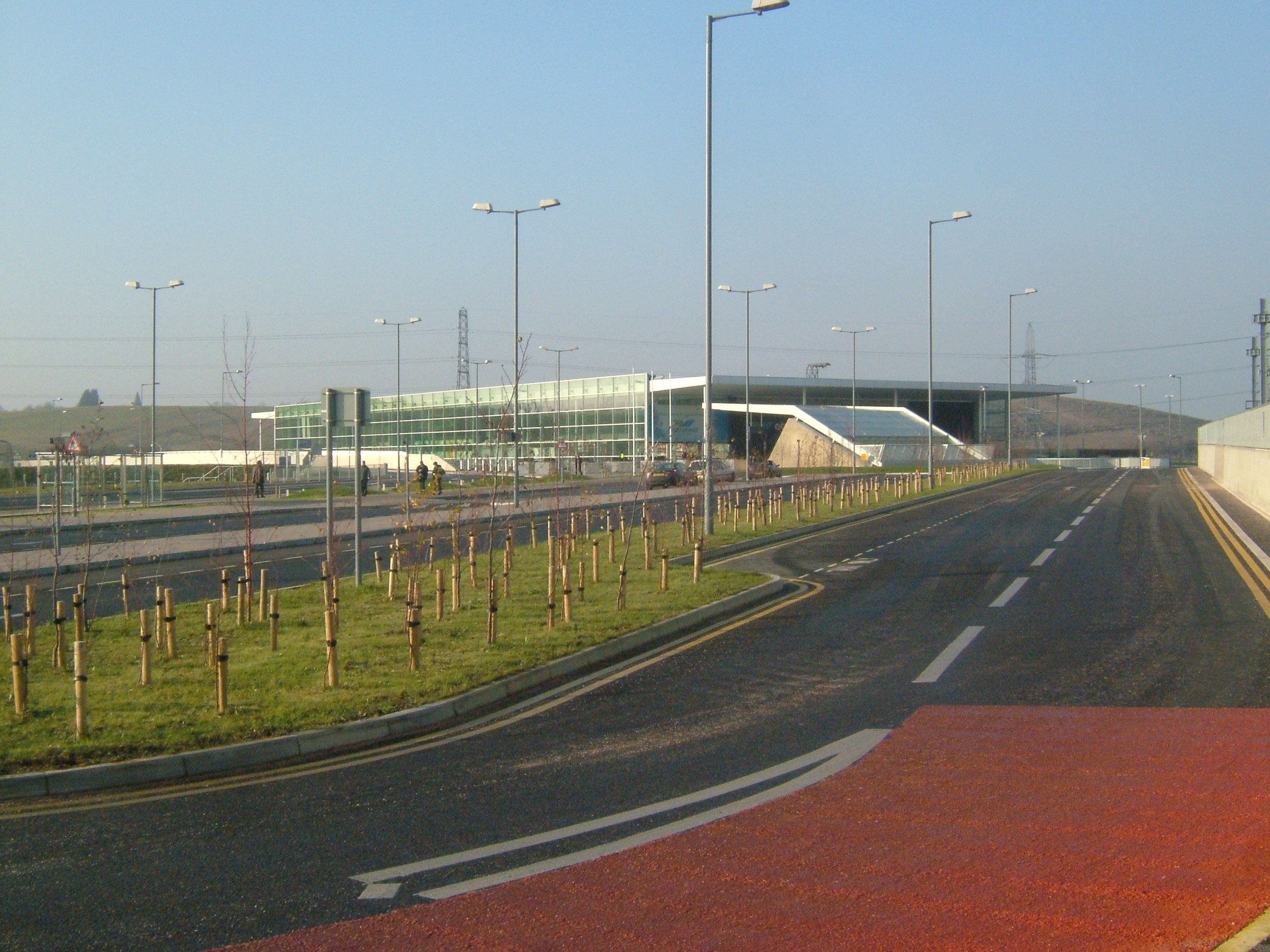
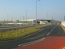 Ebbsfleet International
There are six railway stations in the borough: at Stone; Greenhithe (for Bluewater); Swanscombe and Dartford, all on the North Kent Line; and Longfield and Farningham Road on the Victoria - Chatham Main Line. From Dartford there are three lines serving London and one to Gravesend, the Medway Towns and eastern Kent. For many services Dartford is the terminus.
The new Ebbsfleet International railway station opened in the east of the borough on 19 November 2007. Six high-speed services to Paris and five to Brussels run daily from here by Eurostar. The station can also carry commuters to St Pancras station in London in only 16 minutes, and to Stratford International (next to the 2012 Summer Olympics site) in just 10 minutes, while eastbound commuter services link Ebbsfleet to Ashford International, Dover, Folkestone and other stations in Kent.
Roads
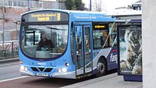 Fastrack in Dartford town centre
Three of the county’s main roads pass through the borough boundaries: the M25 and M20 motorways and the A2 dual carriageway. The A20, A225 and the A226 roads also cross the borough, among others.
The first of the Fastrack bus services, using a combination of ordinary roads and dedicated 'bus tracks' commenced in March 2006. The service runs from the Temple Hill area of Dartford, through the town centre and on to Bluewater Shopping Centre, Greenhithe, Ebbsfleet station and Gravesend.
Dartford gives its name to the Dartford Crossing of the River Thames, a pair of road tunnels (constructed in 1963 and 1980), and the Queen Elizabeth II Bridge (October 1991), linking Kent with Essex and connecting sections of the London Orbital M25 motorway.
Employment
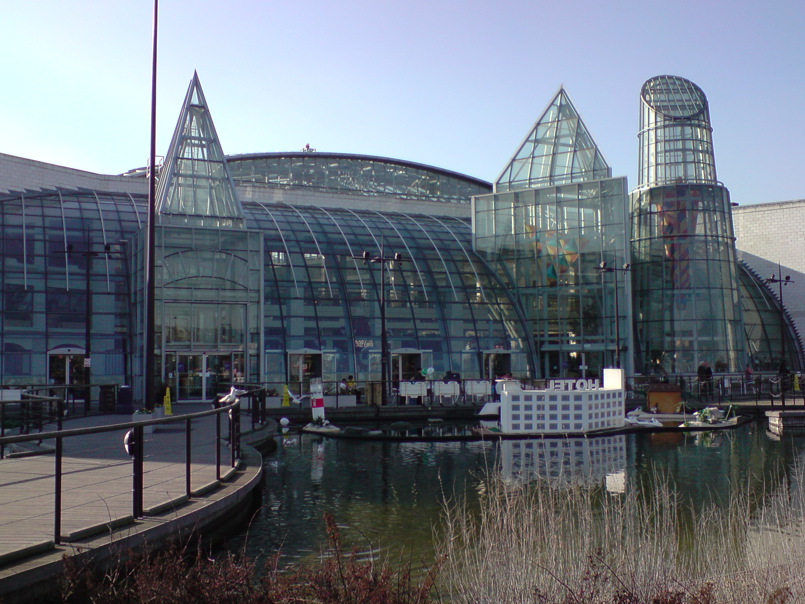
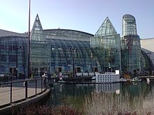 Exterior of Bluewater
Although many of area’s traditional industries of papermaking, cement, and pharmaceuticals are in decline or closing down, and many of borough’s inhabitants travel away from the borough by rail and road (many commuting to London and other areas for work), there is still a large industrial and commercial base. Included among those areas include 'The Bridge' and Crossways to either side of the Queen Elizabeth II Bridge, areas around Greenhithe and a 740-acre (3.0 km2) site planned to contain five separate 'villages' in the Eastern Quarry near Bluewater Shopping Centre, itself a large employer.
Sister cities
References
External links
 Districts of South East England
Berkshire 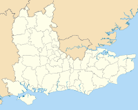
Buckinghamshire Aylesbury Vale • Chiltern • Milton Keynes • South Bucks • Wycombe
East Sussex Brighton and Hove • Eastbourne • Hastings • Lewes • Rother • Wealden
Hampshire Basingstoke and Deane • East Hampshire • Eastleigh • Fareham • Gosport • Hart • Havant • New Forest • Portsmouth • Rushmoor • Southampton • Test Valley • Winchester
Isle of Wight Kent Ashford • Canterbury • Dartford • Dover • Gravesham • Maidstone • Medway • Sevenoaks • Shepway • Swale • Thanet • Tonbridge and Malling • Tunbridge Wells
Oxfordshire Surrey Elmbridge • Epsom and Ewell • Guildford • Mole Valley • Reigate and Banstead • Runnymede • Spelthorne • Surrey Heath • Tandridge • Waverley • Woking
West Sussex Adur • Arun • Chichester • Crawley • Horsham • Mid Sussex • Worthing
Towns and villages in the Dartford district of Kent, England 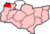 Bean · Betsham · Darenth · Dartford · Greenhithe · Hawley · Hook Green · Joydens Wood · Longfield · New Barn · Northfleet Green · Southfleet · Stone · Sutton-at-Hone · Swanscombe · Temple Hill · Wilmington
List of places in Kent Categories:- Local government in Kent
- Dartford
- Unreferenced Kent-related articles
- Local authorities adjoining the River Thames
- Non-metropolitan districts of Kent
- Local government districts of South East England


Wikimedia Foundation. 2010.