- Commins Coch
-
Coordinates: 52°36′51″N 3°42′26″W / 52.61406°N 3.70711°W
Commins Coch 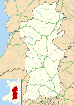
 Commins Coch
Commins Coch shown within PowysPopulation 958 OS grid reference SH845031 Principal area Powys Ceremonial county Powys Country Wales Sovereign state United Kingdom Post town MACHYNLLETH Postcode district SY20 Dialling code 01650 Police Dyfed-Powys Fire Mid and West Wales Ambulance Welsh EU Parliament Wales UK Parliament Montgomeryshire List of places: UK • Wales • Powys Commins Coch is a small village on the A470 in the county of Powys in Wales.
Commins Coch is notable for the narrow bridge set at right angles that crosses the Mid Wales Railway line. The size and angle of the bridge restricts all traffic to crossing one vehicle at a time and it can be a serious problem for articulated lorries to cross.
Commins Coch is also the site of one of the 1970s holiday cottages allegedly burnt down by Meibion Glyndŵr during its campaign against English incomers. The cottage, now restored, can be seen on the right when leaving the village travelling East.
External links
Categories:- Villages in Powys
- Powys geography stubs


Wikimedia Foundation. 2010.