- Cwmdauddwr
-
Coordinates: 52°17′54″N 3°31′00″W / 52.2984°N 3.5167°W
Cwmdauddwr 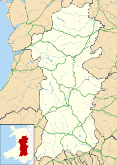
 Cwmdauddwr
Cwmdauddwr shown within PowysPrincipal area Powys Ceremonial county Powys Country Wales Sovereign state United Kingdom Police Dyfed-Powys Fire Mid and West Wales Ambulance Welsh EU Parliament Wales List of places: UK • Wales • Powys Cwmdauddwr (rarely referred to by its full name of Llansantffraid Cwmdauddwr) is a village in Powys, Wales.
It is contiguous with the town of Rhayader on the opposite side of the River Wye. The village is located on the B4518 road linking Rhayader with the Elan Valley Reservoirs.
The village is home to a number of local shops, a pub (The Triangle Inn), village hall and a parish church dedicated to St. Brides.
The Groe, a large park on the banks of the river has walks, play areas and sports pitches.
Rhayader railway station was situated in the village until its closure in 1963.
External links
Coordinates: 52°17′54″N 3°31′00″W / 52.2984°N 3.5167°W
Categories:- Villages in Powys
- Powys geography stubs


Wikimedia Foundation. 2010.