- Mill Woods
-
For the provincial electoral district, see Edmonton-Mill Woods, for the federal electoral district, see Edmonton–Mill Woods–Beaumont.
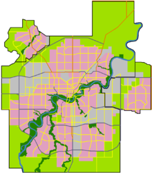
 Location of Mill Woods in Edmonton
Mill Woods is a residential district in the City of Edmonton, Alberta, Canada. Located in southeast Edmonton, Mill Woods is bounded by Whitemud Drive (Highway 14) to the north, 91 Street to the west, 34 Street to the east, and Anthony Henday Drive (Highway 216) to the south.[1] Mill Woods is adjacent to three other residential districts including The Meadows to the east across 34 Street, and Southeast Edmonton and Ellerslie to the south and southwest respectively across Anthony Henday Drive.
The development of Mill Woods began in the early 1970s and was one of the first areas of Edmonton to move away from the grid system.
Contents
Geography
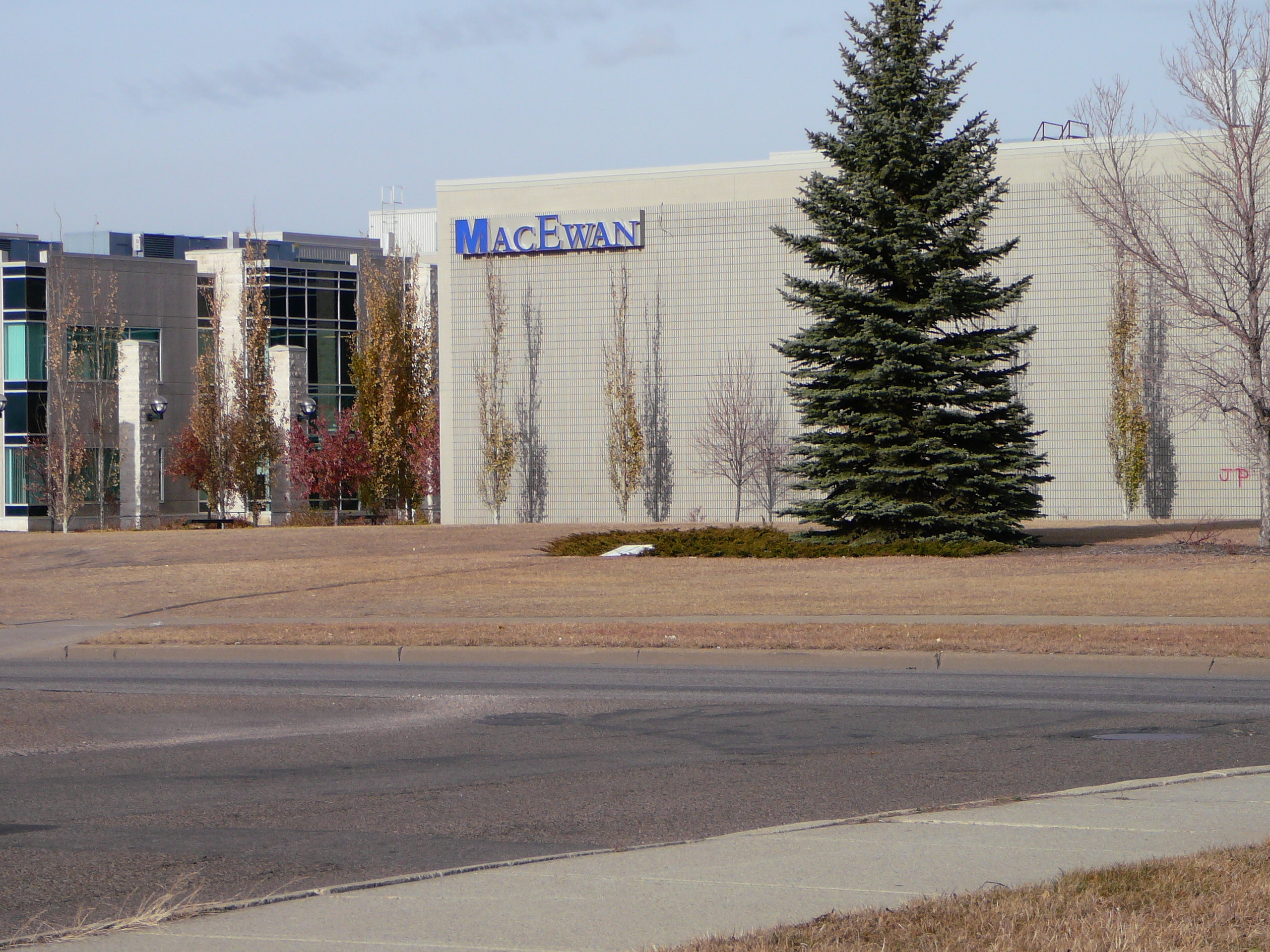
 The South Campus for Grant MacEwan University
Mill Woods is composed of a town centre and eight surrounding communities[1] (Burnewood, Knottwood, Lakewood, Millbourne, Millhurst, Ridgewood, Southwood, and Woodvale), which are each divided into multiple neighbourhoods. Millbourne is divided into the sub-communities of Leefield and North Millbourne before being divided into two neighbourhoods each.
The communities within Mill Woods are connected by an arterial ring road, Mill Woods Road, along its east, south, and west extent and by 38 Avenue along its north extent. Smaller collector ring roads that intersect Mill Woods Road connect the multiple neighbourhoods typically found within each community.
Within the circle formed by these eight communities are the neighbourhoods of Mill Woods Park, Mill Woods Town Centre and Tawa. Together, these three neighbourhoods form a largely business and service core intended to allow Mill Woods to function as a self-contained community. This core contains Mill Woods Town Centre (a major shopping mall), the Grey Nuns Community Hospital, a fire station, an ETS bus terminal, Edmonton Police Service's Southeast Division headquarters, and the Mill Woods Recreation Centre.
Amenities
In addition to those amenities within the central portion of the residential district, Mill Woods features a large number of public parks and the Mill Woods Golf Course south of Whitemud Drive between 50 Street and 66 Street.
Schools
Mill Woods has 21 public elementary schools, 11 Catholic elementary schools, four public junior high schools, three Catholic junior high schools, one public high school, and one Catholic high school. Mill Woods is also home to the Mill Woods (South) Campus of Grant MacEwan University.
Demographics
The total population of Mill Woods according to the City of Edmonton's 2009 municipal census is 80,363.[2] The following is a population breakdown of Mill Woods by neighbourhood.
Rank Neighbourhood Mill Woods
CommunityPopulation
(2009)[2]1 Kiniski Gardens Burnewood 6,927 2 Pollard Meadows Southwood 4,480 3 Crawford Plains Southwood 4,410 4 Sakaw Millhurst 4,194 5 Jackson Heights Burnewood 4,130 6 Bisset Ridgewood 3,980 7 Hillview Woodvale 3,766 8 Daly Grove Southwood 3,608 9 Satoo Knottwood 3,490 10 Weinlos Ridgewood 3,482 11 Richfield Millbourne 3,346 12 Minchau Ridgewood 3,327 13 Tweddle Place Millbourne 3,272 14 Meyokumin Millhurst 3,063 15 Meyonohk Lakewood 2,969 16 Tipaskan Lakewood 2,944 17 Greenview Woodvale 2,890 18 Lee Ridge Millbourne 2,751 19 Kameyosek Lakewood 2,712 20 Menisa Knottwood 2,685 21 Ekota Knottwood 2,655 22 Michaels Park Millbourne 2,195 23 Tawa 1,961 24 Mill Woods Town Centre 1,156 25 Mill Woods Golf Course Woodvale 0 26 Mill Woods Park 0 Total Mill Woods 80,363 Events
The Mill Woods Presidents' Council, community leagues throughout Mill Woods, and various corporate sponsors provide Canada Day celebrations in Mill Woods Park on July 1 of each year. It features free family entertainment including various musical performances, petting zoos, hay rides and other activities, and concludes with a fireworks display comparable with the Edmonton's primary display in the river valley. Each year around 60,000 people crowd the park for this event.
History
Originally the Papaschase Indian Reserve, the Mill Woods area was settled under treaty by a Métis-Cree band between 1876 and 1891. After the reserve was abandoned in 1891, the land was subject to agriculture settlement. The Province of Alberta began assembling land in this area in 1970 as a means of mitigating the rising cost of serviced land in the vicinity of Edmonton, while the City of Edmonton began preparing a plan to develop the area.[3]
The Mill Woods Development Concept was approved in March 1971, consisting of eight communities and a town centre community. It was originally anticipated to have a population of approximately 120,000 people at full build-out.[1]
Naming
Mill Woods was named for the Mill Creek, which bisects the northeast portion of the area, as well as the wooded nature of the area.[3][1] The aboriginal heritage of the area is reflected in the names of numerous neighbourhoods in Mill Woods. For example, the Satoo neighbourhood is named for Chief Satoo of the Cree people.[4]
External links
References
- ^ a b c d "Mill Woods Development Concept". City of Edmonton. http://www.edmonton.ca/for_residents/Mill_Woods_Development_Concept_Consolidation.pdf. Retrieved 2011-02-11.
- ^ a b "2009 Municipal Census Results". City of Edmonton. http://www.edmonton.ca/city_government/municipal_census/2009-municipal-census-results.aspx#b. Retrieved 2011-02-09.
- ^ a b "Neighbourhood Profile – Mill Woods Town Centre". City of Edmonton. http://www.edmonton.ca/for_residents/2006_DEMOGRAPHIC_Mill_Woods_Town_Centre.pdf. Retrieved 2011-02-11.
- ^ "Neighbourhood Profile – Satoo". City of Edmonton. http://www.edmonton.ca/for_residents/2006_DEMOGRAPHIC_Satoo.pdf. Retrieved 2011-02-11.
Coordinates: 53°28′18″N 113°25′42″W / 53.47167°N 113.42833°W
Categories:- Neighbourhoods in Edmonton

Wikimedia Foundation. 2010.