Meyokumin, Edmonton

Meyokumin, Edmonton
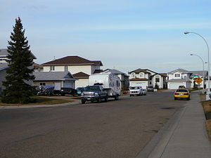
Residential street in Meyokumin.

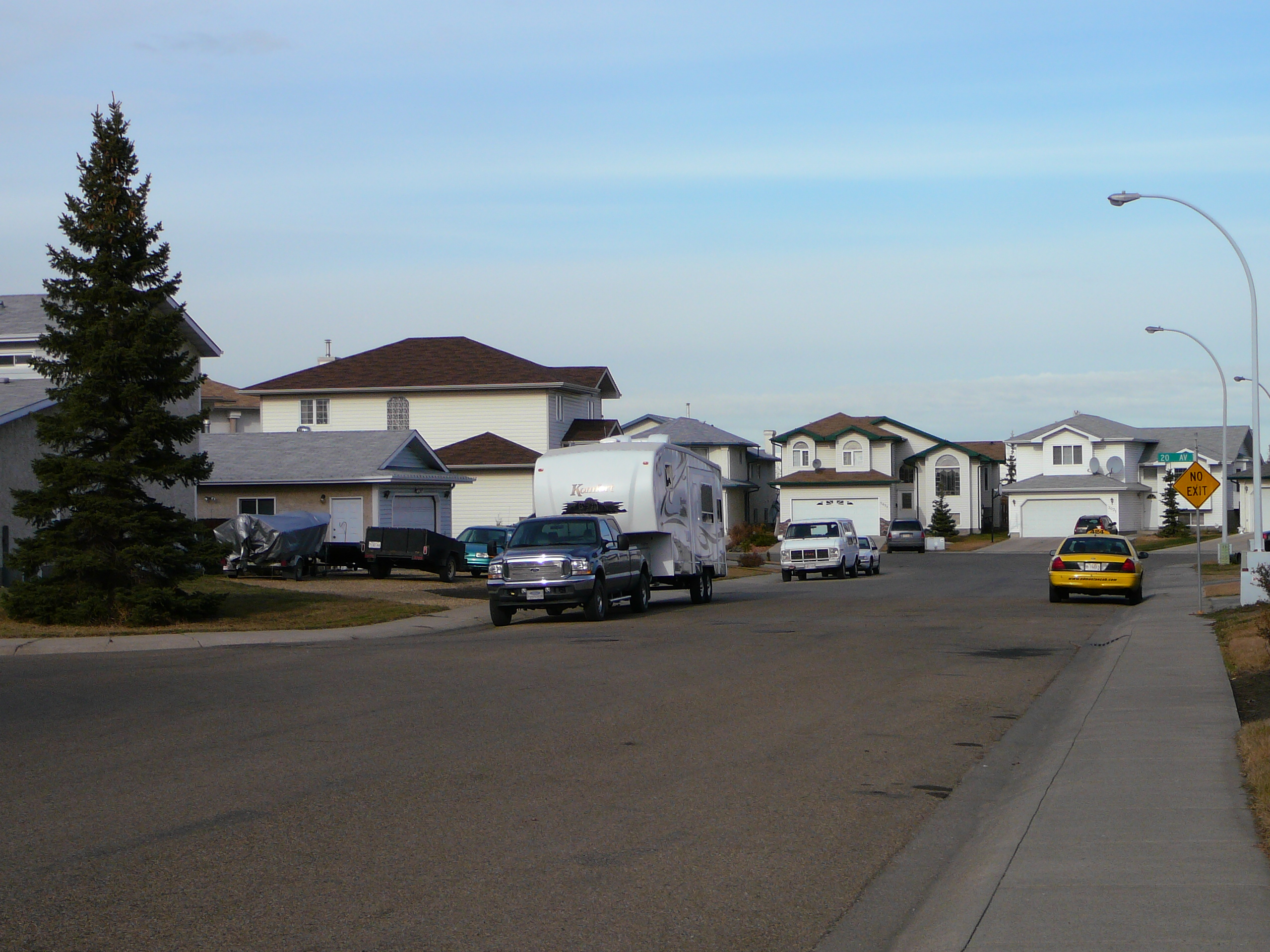
Meyokumin is a residential neighbourhood located in the Mill Woods area of south Edmonton, Alberta, Canada. It is a part of the Mill Woods community of Millhurst. The name means "good water" in the Cree language."[1]

The neighbourhood is bounded on the west by 66 Street, the north by 23 Avenue, the east by 50 Street, and the south by Mill Woods Road South.

Contents

Residential development

The majority of residential construction in the neighbourhood occurred during the 1970s when just over half (55.8%) residences were constructed. Most of the remaining residences (34.0%) were constructed during the 1980s.[2]

According to the 2005 municipal census, the neighbourhood has a mixture of housing types. Single family dwellings account for three out of every five (60%) of residences. Row houses account for a further one in three (34%) of residences. Duplexes account for most of the remaining residences in Meyokumin.[3] Three out of four residences (75%) are owner occupied while the remainder are rented.[4]

Schools

There are two schools in the neighbourhood. Meyokumin School is operated by the Edmonton Public School Board (EPSB) and St. Richard Catholic Elementary School is operated by the Edmonton Catholic School District (ECSD).

Shopping and services

Residents have good access to shopping with the Mill Woods Town Centre shopping centre located to the north in the neighbourhood of Mill Woods Town Centre.

A little further north, in the neighbourhood of Tawa is the Grey Nuns Community Hospital and the Edmonton Police Service's South Division Headqaurters.

Together, Mill Woods Town Centre and Tawa form the commercial and service core of the entire Mill Woods area.

Immediately to the north west of the neighbourhood is Mill Woods Park. The Mill Woods Recreation Centre is located in Mill Woods Park.

Surrounding Neighbourhoods

Notes

  1. ^ From the neighbourhood description in the City of Edmonton map utility.
  2. ^ Period of Construction
  3. ^ Includes triplexes and quadruplexes.
  4. ^ Edmonton.ca

External links


Wikimedia Foundation. 2010.

Игры ⚽ Нужен реферат?

Look at other dictionaries:

  • Edmonton — This article is about the capital of Alberta. For other uses, see Edmonton (disambiguation). Edmonton   City   City of Edmonton …   Wikipedia

  • Edmonton—Mill Woods—Beaumont — Infobox Canada electoral district province = Alberta Edmonton federal electoral districts map| caption = Edmonton Mill Woods Beaumont in relation to other federal electoral districts in Edmonton fed status = active fed district number = 48011 fed …   Wikipedia

  • List of neighbourhoods in Edmonton — Map of Edmonton and adjoining St. Albert and Sherwood Park This is a list of residential neighbourhoods in Edmonton, Alberta, Canada. Unlike the category list, neighbourhoods are grouped geographically so that, to a greater or lesser degree, a… …   Wikipedia

  • Mill Woods Town Centre, Edmonton — This article is about an Edmonton neighbourhood. For the shopping centre, see Mill Woods Town Centre. Mill Woods Town Centre is best known for its shopping mall and is the commercial centre of the Mill Woods area of Edmonton, Alberta, Canada.… …   Wikipedia

  • Crawford Plains, Edmonton — Crawford Plains is a residential neighbourhood located in the Mill Woods area of south Edmonton, Alberta, Canada. It is a part of the Mill Woods community of Southwood. The neighbourhood is named after Thomas Daly who developed high quality… …   Wikipedia

  • Menisa, Edmonton — Menisa is a neighbourhood in south east Edmonton, Alberta, Canada located in Mill Woods. In the Cree language, Menisa means berries . Menisa is bounded on the south by Anthony Henday Drive, on the north by Mill Woods Road, on the east by 66… …   Wikipedia

  • Downtown Edmonton — Coordinates: 53°32′25″N 113°29′54″W / 53.54028°N 113.49833°W / 53.54028; 113.49833 Downtown Edmonton …   Wikipedia

  • Duggan, Edmonton — Location of Duggan in Edmonton Duggan is …   Wikipedia

  • Dickinsfield, Edmonton — This article is about Dickinsfield and the neighbourhoods of Evansdale and Northmount in Edmonton. For other uses of Evansdale, see Evansdale. For other uses of Northmount, see Northmount (disambiguation). Dickinsfield is bounded on the south by… …   Wikipedia

  • Crestwood, Edmonton — This article is about an Edmonton, Canada, neighbourhood. For other uses, see Crestwood. Crestwood is a residential neighbourhood in west Edmonton, Alberta, Canada overlooking the North Saskatchewan River valley and nestled between two ravines.… …   Wikipedia

Share the article and excerpts

Direct link
Do a right-click on the link above
and select “Copy Link”