- Cloverdale, Edmonton
-
 The Muttart Conservatory pyramids.
Cloverdale is a river valley neighbourhood in Edmonton, Alberta, Canada located on the south side of the North Saskatchewan River. It is located immediately across the river from the downtown core and the river valley neighborhood of Riverdale. Southside neighborhoods overlooking Cloverdale include: Bonnie Doon, Strathearn, Holyrood, and Forest Heights. The southwest corner of the neighbourhood is bounded by Connor's Road, the approaches to the Low Level Bridge, and the mouth of the Mill Creek Ravine. The Low Level Bridge and James McDonald Bridge connect the neighbourhood to the north side, while Scona Road provides access to Old Strathcona.
The Muttart Conservatory--a botanical garden consisting of four glass, pyramid-shaped structures that showcase plants from arid, tropical, and temperate climates--is located in the Cloverdale neighbourhood.
Gallagher Park, where the Edmonton Folk Music Festival is held every August, is also located in Cloverdale. Cloverdale is also home to Edmonton's oldest ski hill, The Edmonton Ski Club.
Residential development
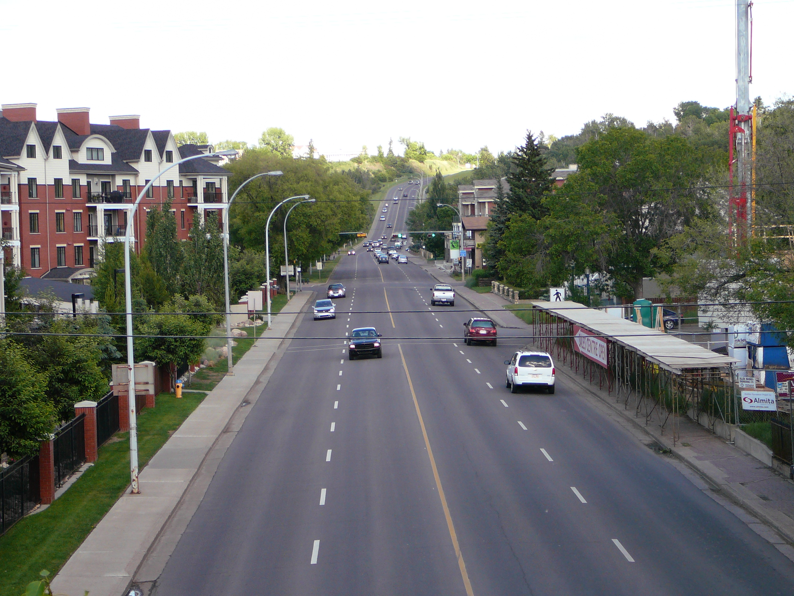
 98 Avenue in Cloverdale.
Early development in Cloverdale began before the end of World War II. Recent years, however, have seen redevelopment of the neighbourhood.
According to the 2001 federal census, one residence in five (18.4%) were constructed before 1946. Another one residence in five (20.4%) were built between 1946 and 1960. There was no further residential development in the neighbourhood until the late 1980s. Between 1986 and 1990, one in seven of the residences in modern Cloverdale were constructed. Almost half (46.9%) of residences were built after 1990.[1]
Residential development has continued since the 2001 federal census. According to the 2001 census, there were 245 residences in the neighbourhood. By 2005, this had increased by 46%, with the 2005 municipal census reporting 358 residences.
The most common type of residence, according to the 2005 municipal census, is the single family dwelling. These account for approximately half (47%) of all residences in the neighbourhood. One in three (36%) are apartment style condominiums in low rise buildings with fewer than five stories. One in six residences (16%) are row houses. There is also one triplex in the neighbourhood. Almost six out of every seven (86%) of all residences are owner occupied and one out of seven (14%) are rented.[2]
References
External links
- Cloverdale Neighbourhood Profile
- City of Edmonton - Muttart Conservatory
Categories:- Neighbourhoods in Edmonton
- Edmonton Capital Region geography stubs

Wikimedia Foundation. 2010.